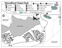
Woodford State Park Campground Map
Campground map for Woodford State Park in Vermont
393 miles away
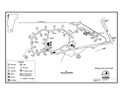
Molly Stark State Park Campground Map
Campground map for Molly State State Park in Vermont
394 miles away
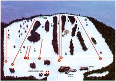
Ski Bradford Ski Trail Map
Trail map from Ski Bradford.
394 miles away
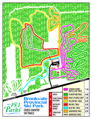
Brookvale Provincial Park Nordic Ski Trail Map
Trail map from Brookvale Provincial Park, which provides downhill and nordic skiing. This ski area...
395 miles away
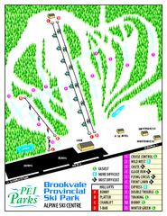
Brookvale Provincial Park Ski Trail Map
Trail map from Brookvale Provincial Park, which provides downhill and nordic skiing. This ski area...
395 miles away
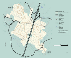
Georgetown-Rowley State Forest summer use map
Summer use map for Georgetown-Rowley State Forest.
397 miles away
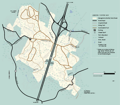
Georgetown-Rowley State Forest winter use map
Winter use map for the Georgetown-Rowley State Forest in Massachusetts.
397 miles away
Mt. Watatic to Wachusett Mountain, Massachusetts...
398 miles away
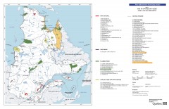
Quebec National Parks and Natural Regions...
Shows all existing National Parks and Natural Regions in Quebec as well as planned parks. This...
399 miles away
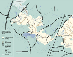
Willowdale State Forest map of Hood Pond
Trail map of the Hood Pond area of the Willowdale State Park in Massachusetts.
399 miles away
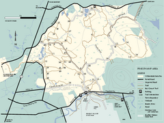
Willowdale State Forest map of Pine Swamp
Trail map of the Pine Swamp area of Willowdale State Park in Massachusetts.
399 miles away
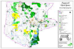
Pepperell Conservation Land and Open Spaces Map
Map showing conservation land and open spaces in Pepperell, MA.
399 miles away
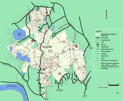
Lowell-Dracut-Tyngsboro State Forest trail map
Trail map for the Lowell-Dracut-Tyngsboro State Forest in Massachusetts
399 miles away
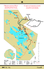
Kejimkujik National Park Map
Official Parks Canada map of Kejimkujik National Park, Nova Scotia. Shows lakes, trails, campsites...
400 miles away
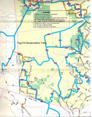
Tug Hill Trail Map
Tug Hill Area Snow Mobile Trail Map
400 miles away
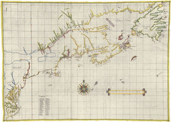
Velasco Map 1610
400 miles away
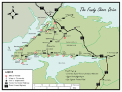
Bay of Fundy Tourist Map
Shows sites of interest along Fundy Shore driving route in Nova Scotia
401 miles away
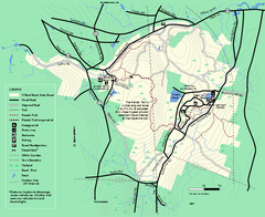
Willard Brook State Forest trail map
Trail map of Willard Brook State Forest in Massachusetts.
401 miles away
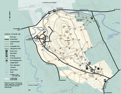
Bradley Palmer State Park summer map
Summer use map of Bradley Palmer State Park in Massachusetts
401 miles away
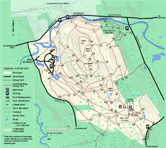
Bradley Palmer State Park winter map
Winter trail map of Bradley Palmer State Park.
401 miles away
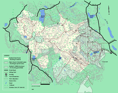
Boxford State Park trail map
Trail map of Boxford State Forest in Massachusetts
401 miles away
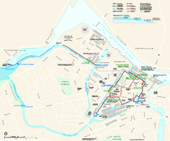
Lowell National Historical Park Official Map
Official NPS map of Lowell National Historical Park in Lowell, Massachusetts. Map shows all of...
402 miles away
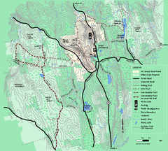
Mt. Grace State Forest trail map
Trail map of Mt. Grace State Forest near Warwick, Massachusetts.
402 miles away
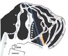
Royal Mountain Ski Trail Map
Trail map from Royal Mountain.
403 miles away
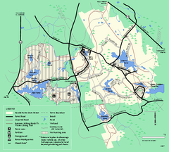
Harold Parker State Forest trail map
Trail map of Harold Parker State Forest in Massachusetts
403 miles away
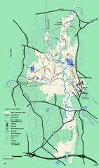
Otter River State Forest winter trail map
Winter usage trail map for Otter River State Park in Massachusetts.
404 miles away
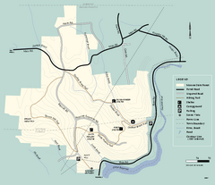
Monroe State Forest trail map
Trail map of Monroe State Forest in Massachusetts.
404 miles away
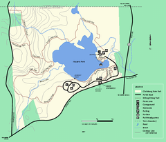
Clarksburg State Park trail map
Trail map of Clarksburg State Park in Massachusetts.
404 miles away
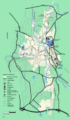
Otter River State Forest summer trail map
Summer trail map of the Otter River State Forest area in Massachusetts.
404 miles away
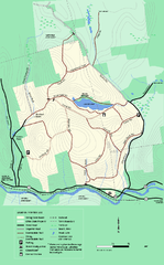
Erving State Park winter use map
Winter use map of the Erving State Park in Massachusetts
407 miles away
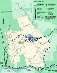
Erving Summer trail map
Summer use map of Erving State Park in Massachusetts.
407 miles away
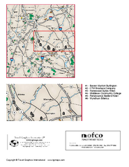
Greater Merrimack Valley, Massachusetts Map
Tourist map of greater Merrimack Valley, Massachusetts. Lodging, forests, and other points of...
407 miles away
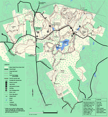
Great Brook Farm State Park trail map
Trail map of Great Brook Farm State Park.
407 miles away
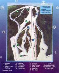
Woods Valley Ski Area Ski Trail Map
Trail map from Woods Valley Ski Area.
408 miles away
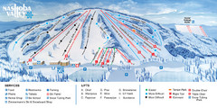
Nashoba Valley Ski Area Ski Trail Map
Trail map from Nashoba Valley Ski Area.
408 miles away
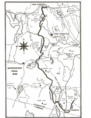
Monoosnoc Trail Map
409 miles away
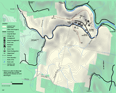
Mohawk Trail State Forest map
Map of the Mohawk Trail State Forest in Charlemont, Massachusetts.
410 miles away
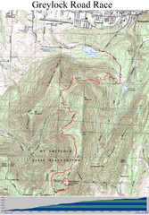
Mt. Greylock Road Race Course Map
Course map of the annual Mount Greylock Road Race. 8 Miles (uphill). Start/Finish: Mt. Williams...
410 miles away
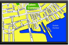
Salem, Massachusetts Guide Map
410 miles away
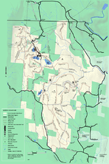
Savoy Mountail trail map
Trail map for Savoy Mountain in Massachusetts.
410 miles away

