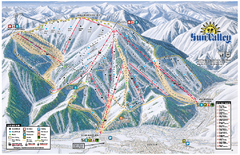
Sun Valley Ski Area Trail Map
Official ski trail map of Bald Mountain, the main mountain of Sun Valley ski area in Sun Valley...
238 miles away
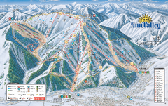
Sun Valley Ski Trail Map 2008
Ski trail map of Sun Valley ski area
238 miles away
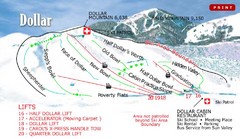
Sun Valley—Bald Mountain Ski Trail Map
Trail map from Sun Valley—Bald Mountain, which provides downhill, nordic, and terrain park skiing...
238 miles away
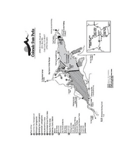
Stagecoach State Park Map
Map of park with detail of campgrounds and recreation zones
239 miles away
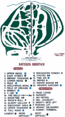
Maverick Mountain Ski Area Ski Trail Map
Trail map from Maverick Mountain Ski Area.
240 miles away
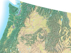
Northwest USA topo Map
241 miles away
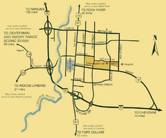
Laramie City Map
City map of Laramie, Wyoming with University of Wyoming highlighted.
243 miles away
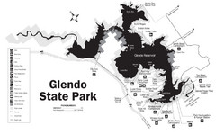
Glendo State Park Map
Glendo State Park is best known for its excellent boating opportunities, with plenty of areas for...
246 miles away

Bonneville Salt Flats International Speedway Map
253 miles away
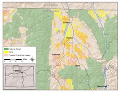
North Park Colorado Map
256 miles away
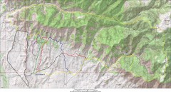
Fruita 18 Road Trail Map
Mountain biking trail map of the 18 Road area in Fruita, CO including Chutes & Ladders, Zipity...
257 miles away
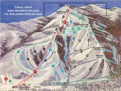
Soldier Mountain Ski Trail Map
Trail map from Soldier Mountain, which provides downhill and terrain park skiing. It has 3 lifts...
258 miles away
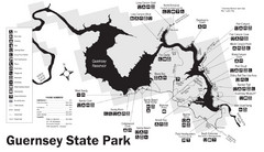
Guernsey State Park Map
The park has long been known as a haven for boating, camping, hiking and picnicking, but its real...
258 miles away
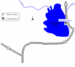
Huntington Lake State Park Map
Take a hike around this beautiful lake.
259 miles away
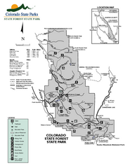
State Forest State Park Map
Map of park with detail of trails and recreation zones
259 miles away
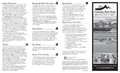
Highline Lake State Park Map
Map of park with detail of recreation areas
260 miles away
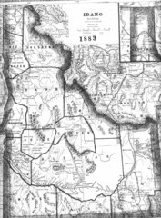
Idaho 1883 Map
261 miles away
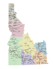
Idaho Road Map
261 miles away
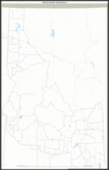
Idaho Zip Code Map
Check out this Zip code map and every other state and county zip code map zipcodeguy.com.
261 miles away
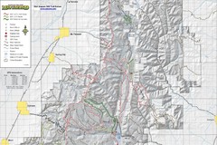
Utah Arapeen OHV Trail System- North Map
The Utah Arapeen OHV Trail System located in near the Towns of Fairview, Ephraim, and Mant, Utah.
262 miles away
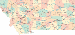
Montana Road Map
262 miles away
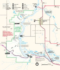
Hagerman Fossil Beds National Monument Map
Official map of Hagerman Fossil Beds National Monument in Hagerman, Idaho
262 miles away
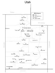
Utah Airports Map
262 miles away
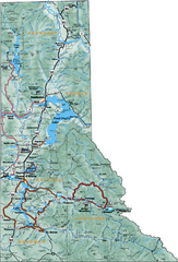
Northern Idaho Road Map
263 miles away
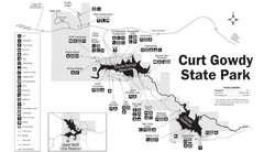
Curt Gowdy State Park Map
Curt Gowdy is a recreation area with three reservoirs. It's great for fishing, camping, water...
264 miles away
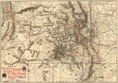
Denver and Rio Grande and Rio Grande Western...
Shows the Denver & Rio Grande and Rio Grande Western railroad system map circa 1904
266 miles away
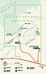
Big Hole National Battlefield Official Map
Official NPS map of Big Hole National Battlefield in Montana. Big Hole National Battlefield is...
267 miles away
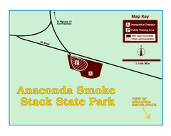
Anaconda Smoke Stack State Park Map
Simple map of State Park.
268 miles away
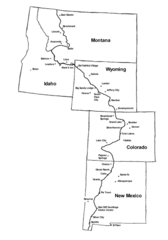
Continental Divide Trail Graphic Map
Guide to the Continental Divide Trail, with major cities and stopping points
268 miles away

Glenwood Springs, CO carved by CarvedMaps.com Map
Glenwood Springs, Colorado carved by CarvedMaps.com Virtually anywhere within the US can be carved...
269 miles away
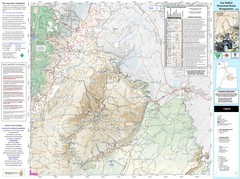
San Rafael, Utah Trail Map
Trails and main roads near Manti-LaSal National Forest and Castle Dale in Emery County, Utah
269 miles away
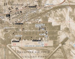
Wendover Air Base Map
269 miles away
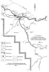
Capitol Reef Trail Map
Hiking trails near Fruita, Colorado
270 miles away
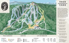
Showdown Ski Trail Map
Official ski trail map of Showdown ski area
271 miles away
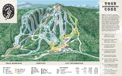
Showdown Ski Area Ski Trail Map
Trail map from Showdown Ski Area.
271 miles away
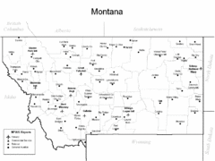
Montana Airports Map
272 miles away
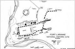
Fort Laramie Guide Map
A layout of the National Historic site Fort Laramie in Wyoming.
272 miles away

Helena, Montana City Map
273 miles away
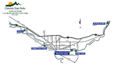
James M Robb Colorado River State Park Map
Overview map of park along lake
274 miles away

