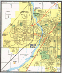
Idaho Falls, Idaho City Map
120 miles away
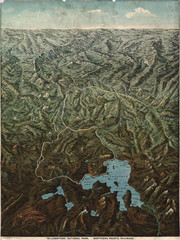
Fee’s map of Yellowstone National Park...
Charles S. Fee's map of Yellowstone in 1895.
121 miles away
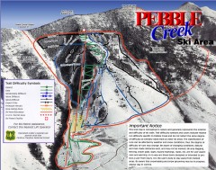
Pebble Creek Ski Trail Map
Official ski trail map of Pebble Creek ski area
122 miles away
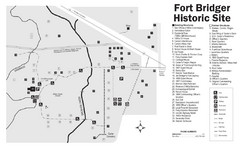
Fort Bridger State Historic Site Map
Established by Jim Bridger and Louis Vasquez in 1843 as an emigrant supply stop along the Oregon...
125 miles away
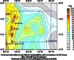
Seismic Hazard Map of Wyoming
Seismic Hazard map of probable earthquake activity for Wyoming.
125 miles away
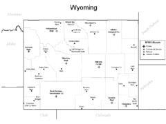
Wyoming Airports Map
125 miles away
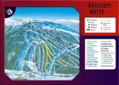
Antelope Butte Ski Area Ski Trail Map
Trail map from Antelope Butte Ski Area.
125 miles away
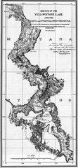
1871 Yellowstone River and Lake Map
Historic guide to the Yellowstone River and Lake in Yellostone National Park
125 miles away
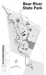
Bear River State Park Map
127 miles away
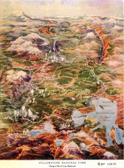
Detail of Yellowstone National Park, 1910 Map
Detail of Yellowstone National Park showing the Oregon Short Line Railroad, 1910
130 miles away
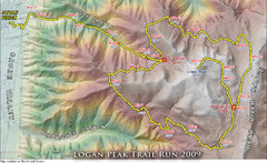
Logan Peak Trail Run Map 2009
Trail run map of the Logan Peak Trail Run 2009 course.
135 miles away
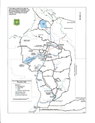
Ashton/Island Park Recreation Sites Map
140 miles away
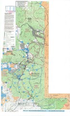
Island Park Idaho Area Snowmobile Map
140 miles away
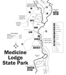
Medicine Lodge State Park Map
The Medicine Lodge site has long been known for its Indian petroglyphs and pictographs, but not...
142 miles away
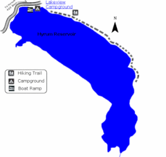
Hyrum State Park Map
Tucked away in Cache County, Hyrum State Park offers many recreation opportunities including...
143 miles away
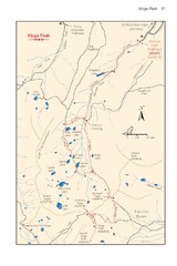
Kings Peak Trail Map
Trail map of route to Kings Peak, highest mountain in Utah at 13,528 ft. Route is around 30 miles...
151 miles away
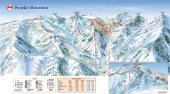
Powder Mountain Ski Trail Map
Official ski trail map of Powder Mountain ski area from the 2007-2008 season.
151 miles away
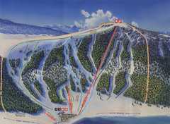
Big Horn Ski Resort Ski Trail Map
Trail map from Big Horn Ski Resort.
151 miles away
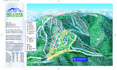
Red Lodge Mountain Ski Trail Map
Official ski trail map of Red Lodge Mountain ski area from the 2007-2008 season.
154 miles away
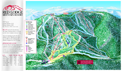
Red Lodge Mountain Ski Trail Map
Trail map from Red Lodge Mountain.
155 miles away

Utah mountain resorts Map
158 miles away

Wolf Mountain Ski Trail Map
Trail map from Wolf Mountain.
158 miles away
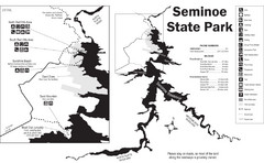
Seminoe State Park Map
Seminoe State Park offers excellent fishing, boating and wildlife-viewing opportunities.
159 miles away

Snowbasin Nordic Trail Map
Nordic trail map of Snowbasin resort, Utah
163 miles away
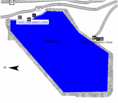
Willard Bay State Park Map
Boat, swim, waterski, and fish on the warm waters of Willard Bay. Camp under tall cottonwood trees...
163 miles away
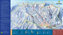
Snowbasin Ski Trail Map
Official ski trail map of ski area from the 2007-2008 season.
164 miles away
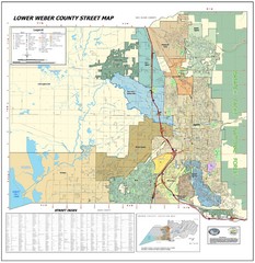
Lower Weber County Street Map
Street map for area around Ogden, UT
165 miles away
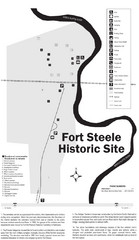
Fort Fred Steele State Historic Site Map
This frontier Army post has a fascinating history interlacing transportation with the military and...
166 miles away
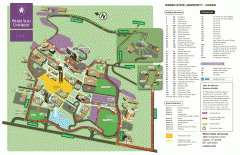
Weber State University Map
Weber State University Campus Map. All buildings shown.
166 miles away
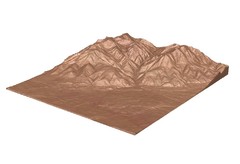
Emigrant Montana towards Baldy and Emigrant Peak...
Emigrant, MT towards Baldy and Emigrant Peak
166 miles away

Mirror Lake Highway Map
168 miles away

Golden Spike National Monument Map
168 miles away
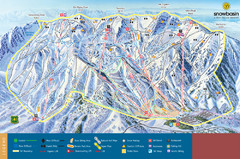
Snowbasin Mountain Trail Map
Ski trail map of Snowbasin Mountain
171 miles away
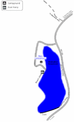
Steinaker State Park Map
Fish for rainbow trout and largemouth bass, and enjoy sandy beaches, swim, boat, and waterski at...
171 miles away
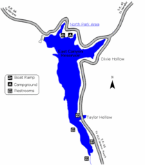
East Canyon State Park Map
East Canyon State Park is a 680-acre boating and year-round fishing delight nestled in the...
172 miles away
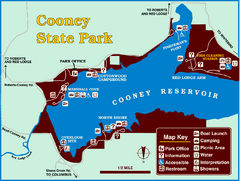
Cooney State Park Map
Simple and clear State Park Map.
173 miles away
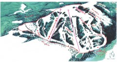
Hogadon Ski Area Trail Map
Ski trail map of Hogadon ski area, located on Casper Mountain
174 miles away
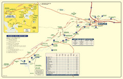
Casper, Wyoming City Map
174 miles away
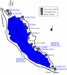
Rockport State Park Map
Find first-rate, year-round recreation at this northern Utah destination. During summer, fish, boat...
174 miles away


