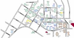
Washington State University's Greek Row Map
Map of WSU's fraternities and sororities
447 miles away
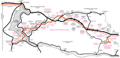
Trail of the Coeur d'Alenes Map
Shows the Trail of the Coeur d'Alenes, a 72 mile bike path that follows the Union Pacific...
447 miles away
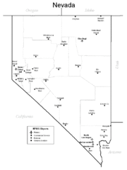
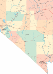
Nevada Airports Map
452 miles away
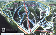
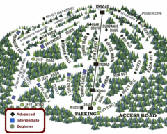
Bluewood Ski Trail Map
Trail map from Bluewood, which provides downhill, nordic, and terrain park skiing. It has 3 lifts...
453 miles away
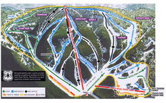
Bluewood Ski Trail Map
453 miles away
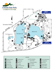
Lathrop State Park Map
Map of park with detail of recreation zones
453 miles away

Dixie State College Campus Map
Campus Map
453 miles away
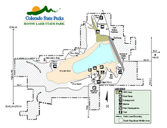
Bonny Lake State Park Map
Map of park with detail of recreation areas
456 miles away
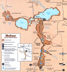
Malheur National Wildlife Refuge Map
Detailed Map of the Malheur Wildlife Refuge in Oregon showing places of interest, roads and...
457 miles away
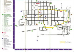
Watford City Map
Map of Watford City, McKenzie County, North Dakota. Includes streets, important buildings, parks...
458 miles away
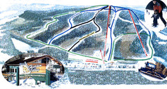
Hidden Valley Ski Trail Map
Trail map from Hidden Valley, which provides downhill skiing. This ski area has its own website.
463 miles away
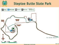
Steptoe Butt State Park Map
Map of park with detail of trails and recreation zones
463 miles away
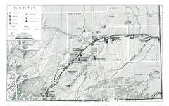
Santa Fe Trail Visitor Map
Map of the Santa Fe Trail showing all hiking trails, camping and picnic areas, roads, and monuments...
471 miles away
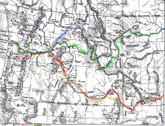
Oregon Trail Map
Old sketch map with modern cities, forts/ trading posts, and missions/churches superimposed. Shows...
473 miles away
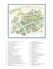
Whitman College Campus Map
Campus map of Whitman College in Walla Walla, WA
473 miles away
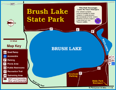
Brush Lake State Park Map
Simple and easily read map.
475 miles away

Hopi Reservation Map
Hopi Reservation locations in Arizona
480 miles away
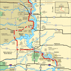
Native American Scenic Byway, South Dakota...
480 miles away
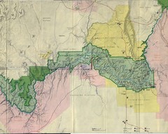
Grand Canyon National Park Map
Grand Canyon National Park including Kaibab National Forest and Coconino Plateau
481 miles away
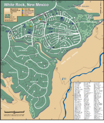
White Rock Road Map
Large and detailed map marking points of interest and roads.
483 miles away
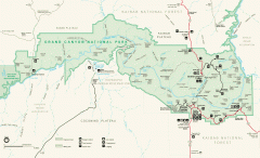
Grand Canyon National Park map
Official map of Grand Canyon National Park. Currently not available on the NPS website
485 miles away
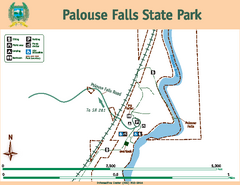
Palouse Falls State Park Map
Map of park with detail of trails and recreation zones
487 miles away
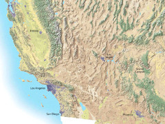
Southwest USA topo Map
488 miles away
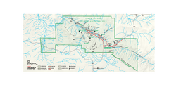
Chaco Culture National Historical Park Official...
Official NPS map of Chaco Culture National Historical Park in New Mexico. The park is open...
488 miles away
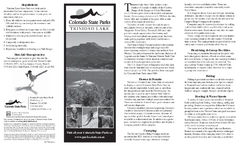
Trinidad State Park Map
Map of park with detail of recreation zones
488 miles away
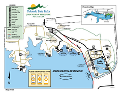
John Martin State Park Map
Map of park with detail of recreation zones
490 miles away
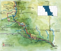
Great Lakes of South Dakota Map
Shows "the other Great Lakes" stretching along the Missouri River in South Dakota. Shows...
490 miles away
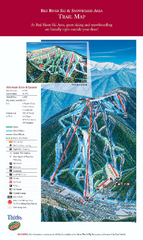
Red River Ski Area Ski Trail Map
Trail map from Red River Ski Area.
492 miles away
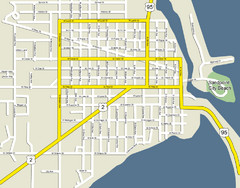
Sandpoint City Beach Map
Downtown Sandpoint Map.
492 miles away
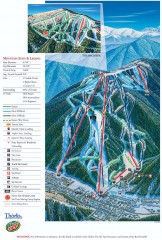
Red River Ski Trail Map
Official ski trail map of Red River ski area
492 miles away
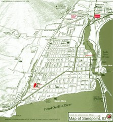
Map of Sandpoint, Idaho
Map of the entire town of Sandpoint including all streets, highways and other information.
492 miles away
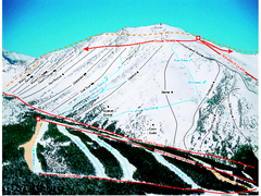
Castle Mountain Resort Ski Trail Map
Trail map from Castle Mountain Resort, which provides downhill skiing. This ski area has its own...
492 miles away

Sandpoint City Map
Street map of downtown Sandpoint
492 miles away
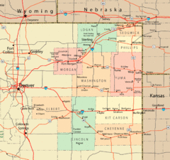
Northeast Colorado Map
492 miles away

Eastern Washington University Campus Map
Campus map of Eastern Washington University in Cheney, Washington
492 miles away
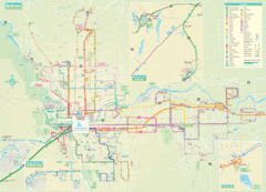
Spokane Guide Map
Roads and areas in and around Spokane, Washington
493 miles away

Sangre de Cristo Mountain Trail Map
Ski trail map of one of the Sangre de Cristo mountains
493 miles away
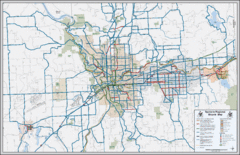
Spokane, Washington Bike Map
493 miles away

