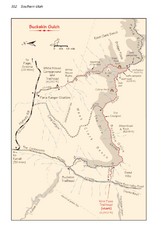
Buckskin Gulch Trail Map
Guide to Buckskin Gulch, the longest slot canyon in the US
416 miles away
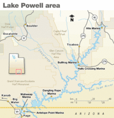
Lake Powell Area Map
Clear map marking the surrounding area of this pristine lake.
418 miles away
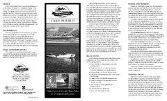
Lake Pueblo State Park Map
Map of park with detail of recreation zones
419 miles away
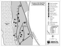
Thompson Falls State Park Map
This shaded, quiet campground is located on the Clark Fork River near the town of Thompson Falls in...
420 miles away
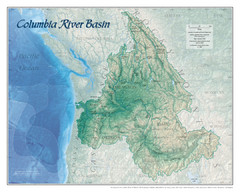
Columbia River Basin Map
420 miles away

Lake Powell Oblique Map
421 miles away
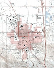
Baker City, Oregeon Tourist Map
421 miles away
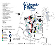
Colorado State University - Pueblo Campus Map
Campus map of Colorado State University-Pueblo
422 miles away
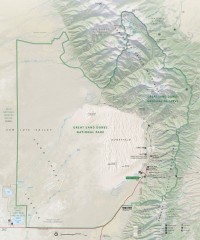
Great Sand Dunes National Park and Preserve map
Official NPS map of Great Sand Dunes National Park and Preserve. Park includes the tallest dune in...
423 miles away
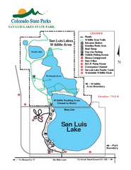
San Luis State Park Map
Map of park with detail of recreation zones
423 miles away
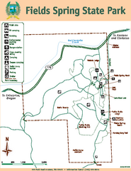
Fields Spring State Park Map
Map of park with detail of trails and recreation zones
424 miles away
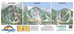
Lookout Pass Ski Trail Map
Official ski trail map of Lookout Pass ski area from the 2007-2008 season. Shows Montana, Idaho...
424 miles away
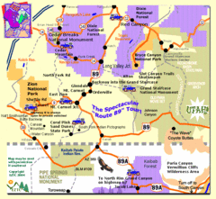
Zion National Park Tourist Map
428 miles away
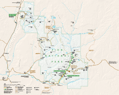
Zion National Park Official map
Official park map of Zion National Park. Shows trails, roads, and all park facilities.
428 miles away
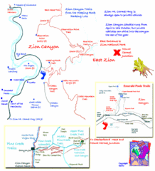
Zion National Park Trails Map
429 miles away

Zion Canyon Map
A detailed map of the Zion Canyon in Zion National Park
429 miles away
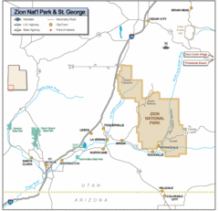
Zion National Park Highway Map
Highways, roads, cities and points of interest are marked on this clear map.
434 miles away
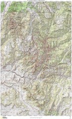
Zion National Park Topography Map
434 miles away
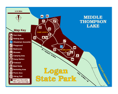
Logan State Park Map
With frontage on the north shore of Middle Thompson Lake, Logan is heavily forested with western...
435 miles away
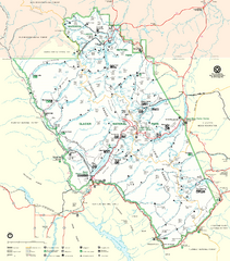
Glacier National Park Trail Map
Trails campgrounds and ranger stations.
438 miles away
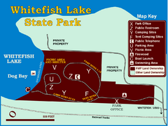
Whitefish Lake State Park Map
Although it’s right on the outskirts of Whitefish, this small park provides a mature forest...
438 miles away
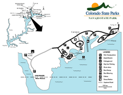
Navajo State Park Map
Map of park with detail of recreation zones
439 miles away
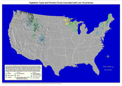
Vegetation types and elevation zones associated...
Historic Lynx Distribution Map for Lynx population from 1842 - 1998 shown on a United States map...
439 miles away
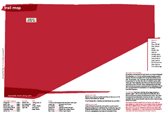
Silver Mountain Resort Ski Trail Map
Trail map from Silver Mountain Resort, which provides downhill, night, and terrain park skiing. It...
440 miles away
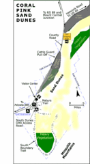
Coral Pink Sand Dunes State Park Map
Rippling arcs of rust-colored sand welcome you as you enter Coral Pink Sand Dunes State Park...
440 miles away
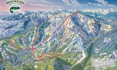
Whitefish Mountain Ski Trail Map - Front Side
Official ski trail map of Whitefish Mountain ski area from the 2007-2008 season. (formerly named...
441 miles away
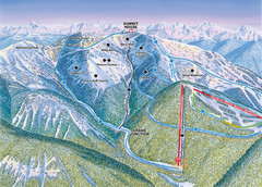
Whitefish Mountain Resort Hellroaring Ski Trail...
Trail map from Whitefish Mountain Resort.
441 miles away

Whitefish Mountain Resort Northside Ski Trail Map
Trail map from Whitefish Mountain Resort.
441 miles away
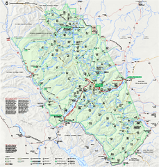
Glacier National Park official map
Glacier National Park official map.
441 miles away
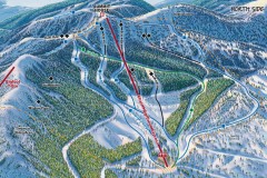
Whitefish Mountain Ski Trail Map - North Side
Official ski trail map of Whitefish Mountain ski area from the 2007-2008 season. (formerly named...
441 miles away

Glacier National Park by carvedmaps.com Map
Wooden carved map of Glacier National Park by carvedmaps.com Anywhere in the United States maps...
441 miles away
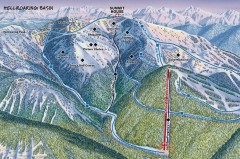
Whitefish Mountain Ski Trail Map - Hellroaring...
Official ski trail map of Whitefish Mountain ski area from the 2007-2008 season. (formerly named...
442 miles away
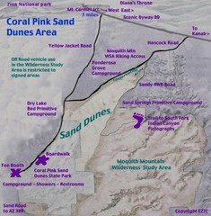
Coral Pink Sand Dunes Map
442 miles away

Nevada Map
442 miles away
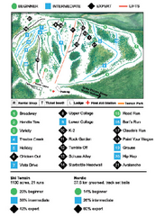
Anthony Lakes Mountain Resort Ski Trail Map
Trail map from Anthony Lakes Mountain Resort.
444 miles away
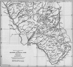
1915 Glacier National Park Map
Historical map of Glacier National Park in Montana.
446 miles away

Steens Mountain Topo Map
Topography map of the east side of Steens mountain in Oregon.
446 miles away
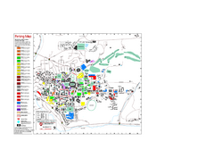
Washington State University Map
Washington State University Campus Map. All buildings shown.
446 miles away

Pullman Parks Trail Map
Trails and pathways map
447 miles away

