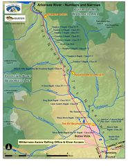
Arkansas River Numbers and Narrows Rafting Map
Rafting map of the Numbers and Narrows rapids sections of the Arkansas River near Buena Vista...
339 miles away
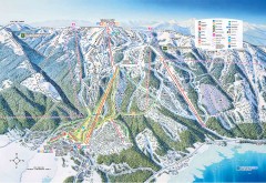
Tamarack Ski Trail Map
Official ski trail map of Tamarack ski area from the 2007-2008 season.
339 miles away
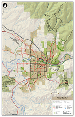
Missoula Bike Trails Map
Road and Mt. Bike trails with a bit of topology near Missoua
340 miles away

Missoula Trail System Map
Basic Map of Hike/Bike/Run Trail system for Missoula MT
340 miles away
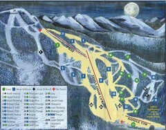
Marshall Mountain Ski Trail Map
Trail map from Marshall Mountain.
340 miles away

Missoula, Montana City Map
340 miles away
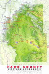
Park County Heritage Map
Shaded relief map of Park County, Colorado shows heritage landscapes, mountains, and
340 miles away
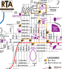
Gunnison RTA Bus Route Map
341 miles away
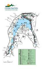
Chatfield State Park Map
Map of park with detail of recreation areas
341 miles away
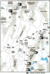
Cross-country Skiing, Elko County, Nevada Map
Map of cross-country skiing opportunities in Elko County, Nevada. Shows skiing locations, roads...
341 miles away
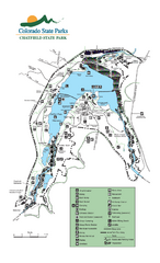
Chatfield State Park map
Detailed recreation map for Chatfield State Park in Colorado
341 miles away
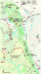
Capitol Reef National Park Official Map
Official NPS map of Capitol Reef National Park in Utah. Map shows all areas. The park and...
341 miles away
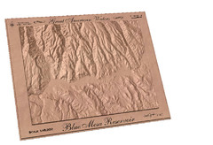
Blue Mesa Reservoir by Carvedmaps.com Map
Blue Mesa Reservoir carved by carvedmaps.com - Tom Justin artist
341 miles away
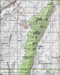
Ruby Mountains Wilderness Map
Overview map of Ruby Mountains Wilderness and Lamoille Canyon
342 miles away
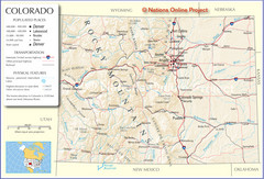
Colorado Cities Map
342 miles away
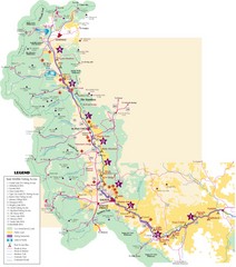
Central Colorado Fishing Guide Map
343 miles away
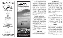
Jackson Lake State Park Map
Map of park with detail of recreation areas
344 miles away
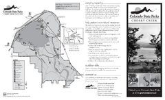
Cherry Creek State Park Map
Map of park with detail of recreation ares
345 miles away

Snowmobiling Map, Elko County, Nevada
Map of snowmobiling opportunities in Elko County, Nevada. Snowmobiling areas, roads, and towns are...
345 miles away
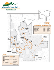
Roxborough State Park Map
Map of park with detail of recreation zones
345 miles away
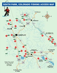
South Park,Colorado Fishing Map
346 miles away
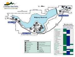
Ridgway State Park Map
Map of park with detail of recreation zones
346 miles away
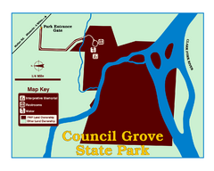
Council Grove State Park Map
Clearly marked map.
347 miles away
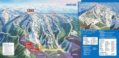
Brundage Ski Trail Map
Official ski trail map of Brundage ski area from the 2007-2008 season.
347 miles away
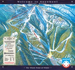
Montana Snowbowl Ski Trail Map
Trail map from Montana Snowbowl.
348 miles away
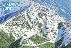
Brundage Mountain Resort Lakeview Bowl Ski Trail...
Trail map from Brundage Mountain Resort, which provides downhill and terrain park skiing. It has 5...
348 miles away
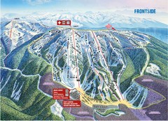
Brundage Mountain Resort Frontside Ski Trail Map
Trail map from Brundage Mountain Resort, which provides downhill and terrain park skiing. It has 5...
348 miles away
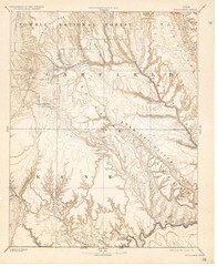
Topo Map of Escalante Quadrant, UT circa 1886
One of four USGS maps detailing the area around Capitol Reef National Park and Glen Canyon circa...
348 miles away

Bluffs Regional Park Map
348 miles away
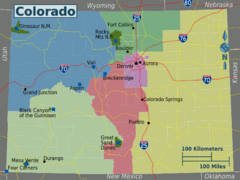
Colorado Region Map
349 miles away
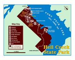
Hell Creek State Park Map
You’ll reach this campground park, 25 miles north of Jordan, through the spectacular scenery...
350 miles away
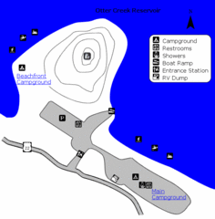
Otter Creek Reservoir Map
This quiet getaway is a great destination for ATV riders, boaters, and birders. Access three ATV...
351 miles away

Glendale Farm Open Space Map
351 miles away

cherry creek regional trail Map
351 miles away
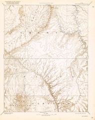
Topo Map of San Rafael Quadrant circa 1885
This is one of four USGS maps from the 1880's and 90's depicting the area around the...
352 miles away
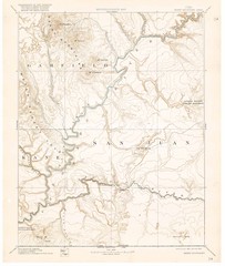
Henry Mtns Topo Map, circa 1892
One of a set of four maps circa 1890s by USGS depicting the area around the Henry Mtns and Capitol...
352 miles away
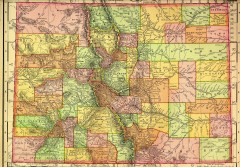
Colorado State map 1895
Map of the state of Colorado, 1895. Shows counties and major topography.
352 miles away
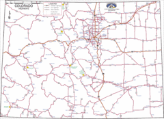
Colorado Highways Map
Road map of highways in state of Colorado
352 miles away
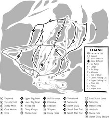
Teton Pass Ski Area Ski Trail Map
Trail map from Teton Pass Ski Area.
354 miles away

Dawson Butte Ranch Open Space Trail Map
355 miles away

