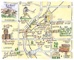
Denver Tourist Illustrated map
332 miles away
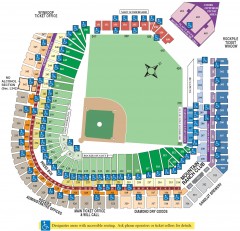
Coors Field Seating Chart Map
Seating chart of Coors Field, home of the MLB Colorado Rockies. This map shows all seating...
333 miles away
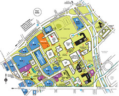
Auraria Campus Map
Map of Auraria Higher Education Center
333 miles away
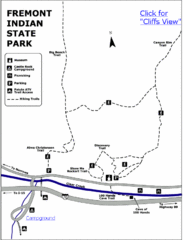
Fremont Indian State Park Map
Discover artifacts, petroglyphs, and pictographs left behind by the Fremont Indians. During...
333 miles away
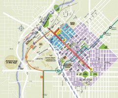
Downtown Denver map
Map of downtown Denver, CO. Shows streets, parks, light rail routes, the Colorado Convention...
333 miles away
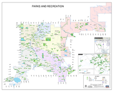
Denver City Parks map
Shows all city parks in the Denver metro area.
333 miles away
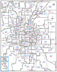
Denver, Colorado Zip Codes Map
333 miles away
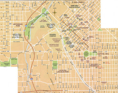
Denver, Colorado City Map
333 miles away
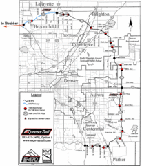
Denver Toll Road Map
333 miles away
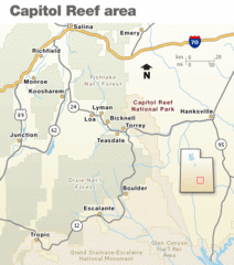
Capitol Reef National Park Map
Clear map marking major highways and cities.
334 miles away
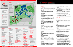
St. John's University Map
St. John's University Campus Map. All buildings shown.
334 miles away
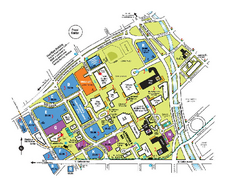
The University of Colorado at Denver and Health...
The University of Colorado at Denver and Health Sciences Center Campus Map. All buildings shown.
334 miles away
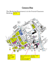
Metropolitan State College of Denver Map
Campus Map of Metropolitan State College of Denver. All buildings shown.
334 miles away
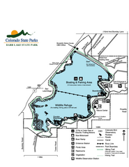
Barr Lake State Park Map
Map of park with detail of trails and recreation zones
334 miles away
USA States Map
334 miles away
Denver Botanic Garden (York St) Map
334 miles away
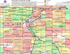
Denver Neighborhoods Map
334 miles away
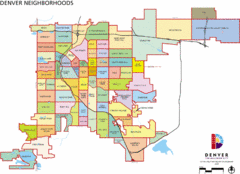
Denver Neighborhoods Map
334 miles away
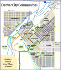
Central Denver Neighborhoods Map
334 miles away
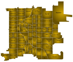
Denver Neighborhoods Map
334 miles away
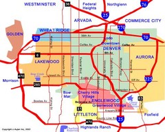
Denver Neighborhoods Map
334 miles away
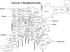
Denver Neighborhoods Map
334 miles away
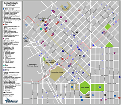
Downtown Denver, Colorado Tourist Map
334 miles away
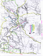
Uncompahgre National Forest Map
National Forest in Western Colorado
334 miles away
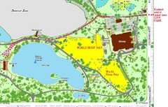
Denver City Park Map
335 miles away
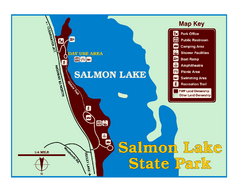
Salmon Lake State Park Map
Immediately adjacent to Montana 83, this park is an access point to one of the beautiful lakes in...
335 miles away
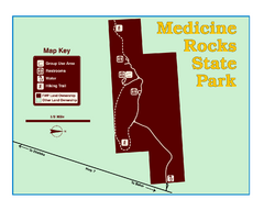
Medicine Rocks State Park Map
As the name implies, Medicine Rocks was a place of "big medicine" where Indian hunting...
336 miles away
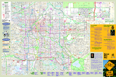
Denver Bike Map - Front
Shows all bike routes in the Denver metro area. This is the Front side of a 2-sided map.
336 miles away
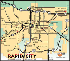
Rapid City, South Dakota City Map
336 miles away
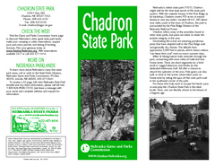
Chadron State Park Map
The majestic beauty of the Pine Ridge forms the backdrop for this great, get away from it all state...
337 miles away
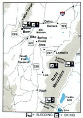
Skiing and Sledding in Elko County, Nevada Map
Map of skiing and sledding opportunities in Elko County, Nevada, showing skiing and sledding...
337 miles away
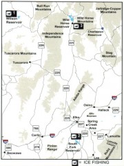
Icefishing Map, Elko County, Nevada
Map of ice fishing locations in Elko County, NV. Shows reservoirs, roads and towns.
337 miles away
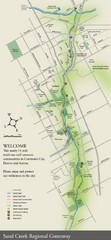
Sand Creek Regional Greenway Map
While the Sand Creek Regional Greenway trail is now usable, the Greenway will be under construction...
338 miles away
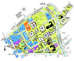
University of Colorado Denver Map
338 miles away
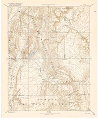
Topo Map of Capitol Reef Region (Fish Lake Quad...
This is one of four USGS maps done by the Powell survey and depicting the area around Capitol Reef...
338 miles away
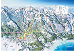
Tamarack Resort Ski Trail Map
Trail map from Tamarack Resort, which provides downhill, nordic, and terrain park skiing. It has 7...
338 miles away
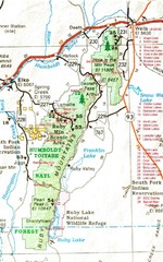
Ruby Mountains Area Map
Included are the communities of Elko, Wells, Deeth, Jiggs, Lee, Lamoille and Spring Creek. Some...
339 miles away
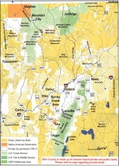
Land Use Map of Elko County, Nevada
Land use map of Elko County, Nevada. Shows lands classified as public or private, and owners of...
339 miles away

