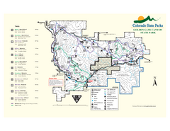
Golden Gate Canyon State Park Map
Map of park with detail of trails
313 miles away
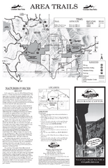
Eldorado Canyon State Park Map
Map of park with detail of trails and recreation zones
313 miles away
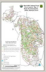
Black Hills National Forest Tourist Map
Black Hills National Forest in Custer, South Dakota
314 miles away
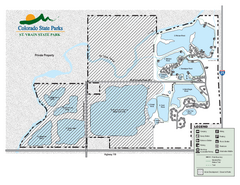
St. Vrain State Park Map
Map of park with detail of recreation zones
314 miles away
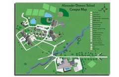
Alexander Dawson School Map
Campus map
314 miles away
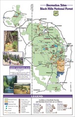
Black Hills National Forest Guide Map
Forest Recreation guide Map
314 miles away
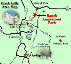
Black Hills Area Map
314 miles away

Mt. Evans Contour Map
Guide to the area around Mt. Evans, near Denver, CO
314 miles away
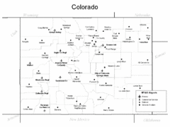
Colorado Airport Map
314 miles away
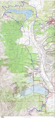
Leadville 100 Mountain Bike Race Map 2008
Race course for the 2008 Leadville 100 mountain bike race. Covers 100 miles.
315 miles away
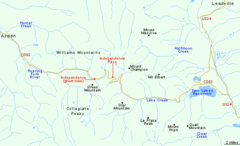
Independence Pass Area, Colorado Map
Basic map of the Independence Pass area near Aspen, Colorado. Independence Pass is the highest...
315 miles away
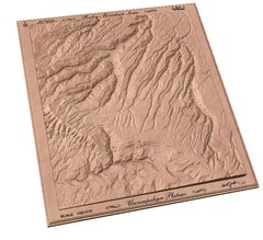
Uncompahgre Plateau by carvedmaps.com Map
Uncompahgre Plateau
316 miles away

Mt. Evans Road Wildflower Viewing Map
Shows wildflower viewing area at Mt. Goliath and Mt. Evans along Mt. Evans Road in Colorado. "...
316 miles away
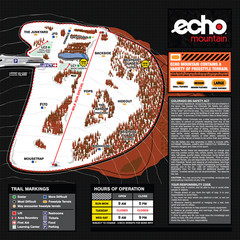
Echo Mountain Park Ski Trail Map
Trail map from Echo Mountain Park, which provides downhill, night, and terrain park skiing. It has...
317 miles away
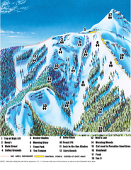
Crested Butte Mountain Resort Teocalli Bowl Ski...
Trail map from Crested Butte Mountain Resort, which provides downhill, nordic, and terrain park...
318 miles away
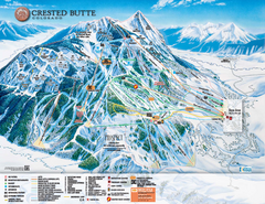
Crested Butte Mountain Resort Ski Trail Map
Trail map from Crested Butte Mountain Resort, which provides downhill, nordic, and terrain park...
318 miles away
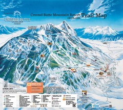
Crested Butte Mountain Resort Ski Trail Map
Official trail map of Crested Butte Mountain Resort, 2006-07 season.
318 miles away
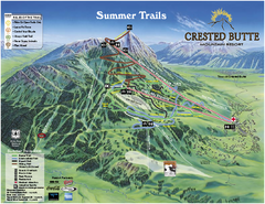
Crested Butte Mountain Resort Summer Trail Map
Official Crested Butte Mountain Resort summer trail map. Created by James Niehues.
318 miles away
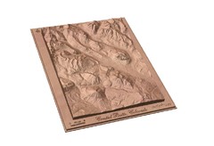
Carved Wooden Map of Crested Butte, Colorado by...
Crested Butte, CO Carved by CarvedMaps.com
319 miles away
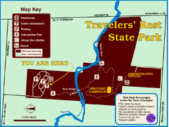
Travelers' Rest State Park Map
The Lewis and Clark expedition camped here twice during their historic journey to locate the...
319 miles away
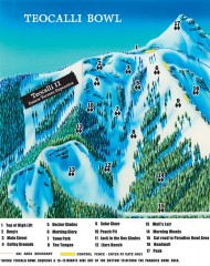
Crested Butte Mountain Resort Ski map - Teocalli...
Inset of the official Crested Butte trail map showing the experts-only Teocalli Bowl.
319 miles away

Wind Cave Tour Routes Detail Map
Shows the following tour routes: Natural Entrance Tour, Garden Eden Tour, Fairgrounds Tour, and...
319 miles away
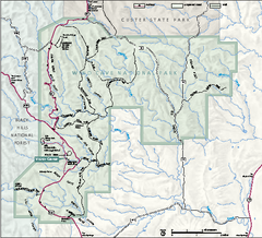
Wind Cave National Park Official Park Map
Official NPS map of Wind Cave National Park in South Dakota. Wind Cave is one of the world's...
322 miles away
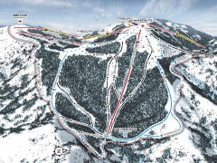
Bogus Basin Ski Trail Map - Pine Creek
Official ski trail map of Pine Creek area of Bogus Basinski area from the 2007-2008 season.
322 miles away
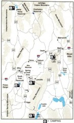
Camping in Elko County, Nevada Map
Map of camping opportunities in Elko County, Nevada, showing camp grounds, roads and towns.
323 miles away
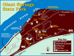
Giant Springs State Park Map
Set aside a whole afternoon to experience this scenic and historic freshwater springs site. First...
323 miles away
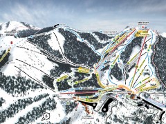
Bogus Basin Ski Trail Map - Front
Official ski trail map of frontside of Bogus Basin ski area from the 2007-2008 season.
323 miles away
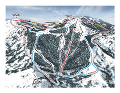
Bogus Basin Pine Creek Ski Trail Map
Trail map from Bogus Basin, which provides downhill, night, nordic, and terrain park skiing. It has...
324 miles away
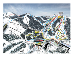
Bogus Basin Frontside Ski Trail Map
Trail map from Bogus Basin, which provides downhill, night, nordic, and terrain park skiing. It has...
324 miles away
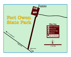
Fort Owen State Park Map
Fort Owen’s adobe and log remains preserves the site of the first permanent white settlement...
324 miles away
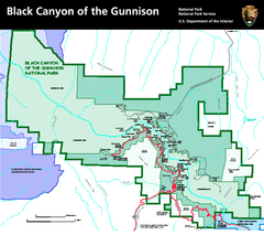
Black Canyon of the Gunnison National Park Map
Official NPS map of Black Canyon of the Gunnison in Colorado. Shows all areas including the South...
326 miles away
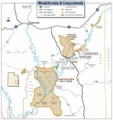
Canyonlands National Park Map
Clear map and key marking cities, rivers, highways and points of interest.
326 miles away
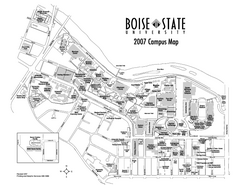
Boise State University Map
Boise State University Campus Map. All areas shown.
327 miles away
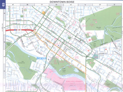
Boise, Idaho Downtown Map
Map of the downtown area of Boise, Idaho includes all streets, parks and the Boise State University.
328 miles away
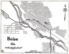
Boise Idaho 1917 Map
329 miles away
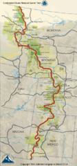
Continental Divide Trail Map
Guide to the full Continental Divide trail
329 miles away
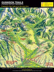
Gunnison Proposed Trails Map
Shows proposed trails from Gunnison, Colorado to Crested Butte, Colorado
330 miles away
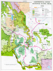
Continental Divide Scenic Trail Map
Guide to the Montana portion of the Continental Divide trail
330 miles away
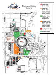
Denver, Colorado Invesco Field Parking Map
332 miles away
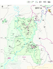
Canyonlands National Park Official Park Map
Official NPS map of Canyonlands National Park. Located in Utah. Map shows all areas but does not...
332 miles away

