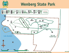
Wenberg State Park Map
Map of park with detail of trails and recreation zones
196 miles away
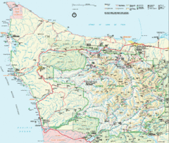
Olympic National Park Map
197 miles away
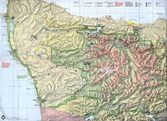
Olympic National Park Map
197 miles away
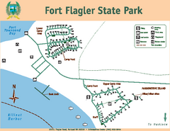
Fort Flagler State Park Map
Map of park with detail of trails and recreation zones
198 miles away
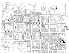
Myrtle Point walking tour Map
Walking tour map of the Historic homes of Myrtle Point in the Coquille Valley of Oregon.
199 miles away
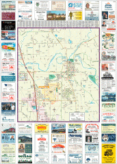
Arlington tourist map
Tourist map of Arlington, Washington. Shows all businesses.
199 miles away

Arlington and Smokey Point tourist map
Tourist map of Arlington and Smokey Point, Washington. Shows all businesses.
200 miles away
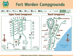
Fort Worden Campgrounds Map
Map of park campgrounds
201 miles away
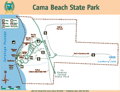
Cama Beach State Park Map
Map of park with detail of trails and recreation zones
201 miles away
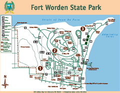
Fort Worden State Park Map
Map of park with detail of trails and recreation zones
201 miles away
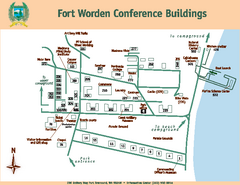
Fort Worden Conference Buildings Map
Map of conference buildings in Fort Worden State Park
201 miles away
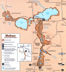
Malheur National Wildlife Refuge Map
Detailed Map of the Malheur Wildlife Refuge in Oregon showing places of interest, roads and...
201 miles away
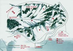
Hurricane Ridge Ski Trail Map
Trail map from Hurricane Ridge.
203 miles away
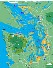
Seattle Ferry Guide Map
Map of ferries around Seattle, Puget Sound and Olympic Peninsula
203 miles away
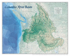
Columbia River Basin Map
205 miles away

Coupeville tourist map
Tourist map of Coupeville, Washington. Shows all businesses.
206 miles away
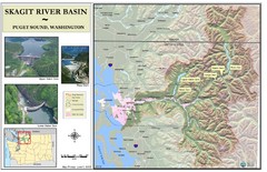
Skagit River Map
Skagit River Basin Overview Map (Pink shading is the FEMA 100 Year Flood)
206 miles away
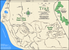
Ft Ebey/Kettle Park Trail Map
Trail map of Fort Ebey Park and Kettle Park, Washington
206 miles away
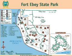
Fort Ebey State Park Map
Map of park with detail of trails and recreation zones
207 miles away
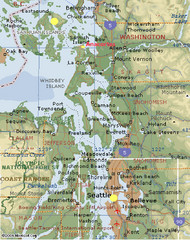
Washington State - West Coast Map
Washington State - West Coast Map
207 miles away
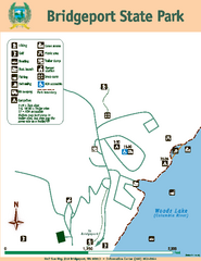
Bridgeport State Park Map
Map of park with detail of trails and recreation zones
208 miles away
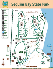
Sequim Bay State Park Map
Map of park with detail of trails and recreation zones
208 miles away

Oak Harbor tourist map
Tourist map of Oak Harbor, Washington. Shows all businesses.
210 miles away
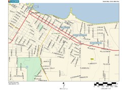
Port Angeles City Map
211 miles away
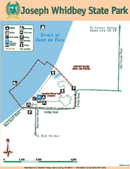
Joseph Whidbey State Park Map
Map of park with detail of trails and recreation zones
212 miles away

BTS Route Map
Map of BTS bus routes throughout Klamath Falls
214 miles away

Bear Creek Greenway Map
Trail map of the Bear Creek Greenway connecting Central Point to Ashland, Oregon. Will eventually...
216 miles away
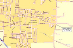
Medford, Oregon City Map
216 miles away
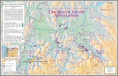
Oregon Rogue Valley wineries Map
Southern Oregon's Rogue Valley wineries
216 miles away
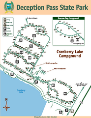
Deception Pass State Park Map
Map of park with detail of trails and recreation zones
217 miles away
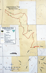
Grizzly Peak Trail Map
Topographic trail map of Grizzly Peak near Ashland, Oregon. Shows trails and distances. From...
217 miles away
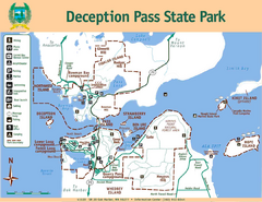
Deception Pass State Park Map
Map of park with detail of trails and recreation zones
217 miles away
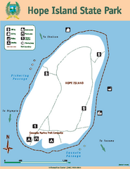
Hope Island State Park Map
Map of park with detail of trails and recreation zones
218 miles away
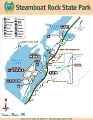
Steamboat Rock State Park Map
Map of park with detail of trails and recreation zones
218 miles away
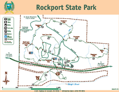
Rockport State Park Map
Map of park with detail of trails and recreation zones
219 miles away
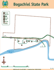
Bogachiel State Park Map
Map of park with detail of trails and recreation zones
219 miles away
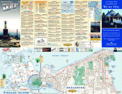
Fidalgo Island tourist map
Tourist map of Fidalgo Island in Anacortes, Washington. Shows recreation and points of interest.
220 miles away
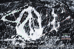
Ferguson Ridge Ski Trail Map
Trail map from Ferguson Ridge.
220 miles away
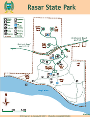
Rasar State Park Map
Map of park with detail of trails and recreation zones
221 miles away
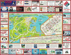
Anacortes tourist map
Tourist map of Anacortes, Washington. Shows recreation and points of interest.
222 miles away

