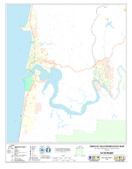
Newport Oregon Road Map
126 miles away
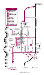
Nye Beach Tourist Map
127 miles away
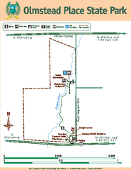
Olmstead Place State Park Map
Map of park with detail of trails and recreation zones
127 miles away
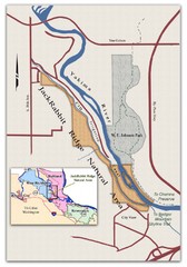
JackRabbit Ridge Natural Area Map
Shows urban wildlands
131 miles away
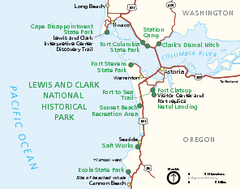
Lewis & Clark National Historic Trail...
Official NPS map of Lewis & Clark National Historic Trail in Oregon-Washington. Shows all areas...
131 miles away

Olympia Map
Map of downtown Olympia's parking and shuttle routes.
133 miles away
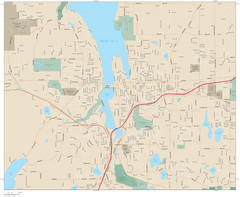
Olympia, Washington City Map
133 miles away
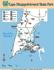
Cape Dissapointment State Park Map
Map of park with detail of trails and recreation zones
133 miles away
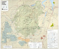
Capitol State Forest Map
133 miles away
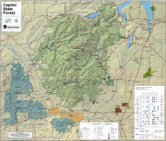
Capitol State Forest Map
Shows all trails in Capitol State Forest and surrounding area, including Lower Chehalis State...
133 miles away
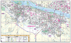
Kennewick, Washington City Map
134 miles away
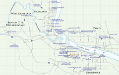
Kennewick Hotel Map
134 miles away
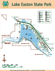
Lake Easton State Park Map
Map of island with detail of trails and recreation zones
135 miles away
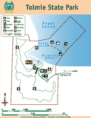
Tolmie State Park Map
Map of park with detail of trails and recreation zones
135 miles away
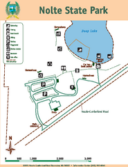
Nolte State Park Map
Map of park with detail of trails and recreation zones
135 miles away
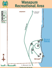
Wanapum Recreational Area Map
Map of park with detail of trails and recreation zones
135 miles away
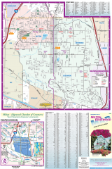
Milton and Edgewood tourist map
Tourist map of Milton and Edgewood, Washington. Shows all businesses.
136 miles away
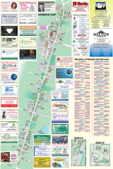
Milton tourist map
Tourist map of Milton, Washington. Shows all businesses.
136 miles away

City of Kennewick Map
Simple road map of Kennewick.
137 miles away
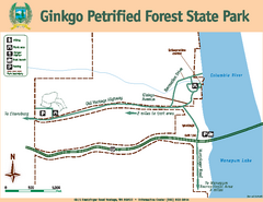
Ginkgo Petrified Forest State Park Map
Map of park with detail of trails and recreation zones
137 miles away
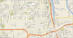
Tacoma, Washington City Map
138 miles away
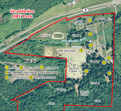
Grays Harbor County Straddleline ORV Park...
Park Map near Olympia
138 miles away
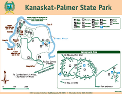
Kanaskat-Palmer State Park Map
Map of park with detail of trails and recreation zones
138 miles away
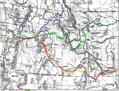
Oregon Trail Map
Old sketch map with modern cities, forts/ trading posts, and missions/churches superimposed. Shows...
139 miles away
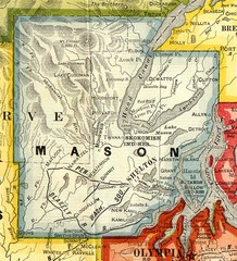
Mason County Washington, 1909 Map
139 miles away
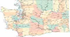
Washington Road Map
Road map of state of Washington
139 miles away
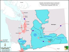
Washington Steelhead Salmon Map
Shows federally listed steelhead salmon evolutionarily significant units in Washington state.
139 miles away
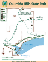
Columbia Hills State Park Map
Map of park with detail of trails and recreation zones
140 miles away
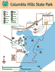
Columbia Hills State Park Map
Map of park with detail of trails and recreation zones
140 miles away
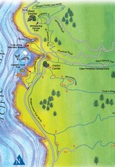
Cape Perpetua Map
140 miles away
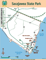
Sacajawea State Park Map
Map of park with detail of trails and recreation zones
140 miles away
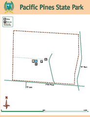
Pacific Pines State Park Map
Map of park with detail of trails and recreation zones
141 miles away
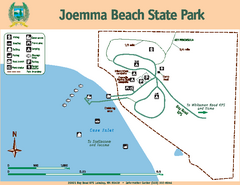
Joemma Beach State Park Map
Map of park with detail of trails and recreation zones
142 miles away
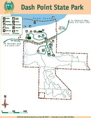
Dash Point State Park Map
Map of park with detail of trails and recreation zones
142 miles away
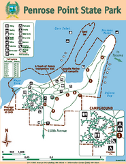
Penrose Point State Park Map
Map of park with detail of trails and recreation zones
143 miles away
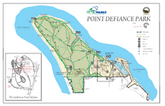
Point Defiance Park Map
143 miles away
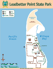
Leadbetter Point State Park Map
Map of park with detail of recreation zones and trails
145 miles away
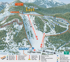
The Summit at Snoqualmie Summit East Ski Trail Map
Trail map from The Summit at Snoqualmie, which provides night and terrain park skiing. It has 30...
145 miles away
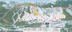
The Summit at Snoqualmie Summit Central Ski Trail...
Trail map from The Summit at Snoqualmie, which provides night and terrain park skiing. It has 30...
145 miles away
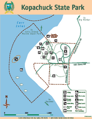
Kopachuck State Park Map
Map of island with detail of trails and recreation zones
145 miles away

