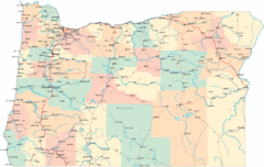
Tigard Oregon Road Map
54 miles away

King City Oregon Road Map
56 miles away
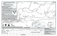
Forest Park Mountain Biking Map
Forest Park now includes over 5,100 wooded acres making it the largest, forested natural area...
56 miles away
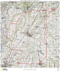
Spring Century Bike Route Map
Oregon Spring Century Ride
56 miles away
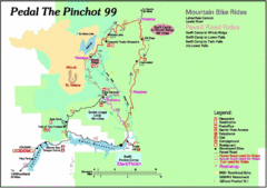
Pedal the Pinchot Bike Ride Route Map
Route Map for the Pedal the Pinchot 99 bike ride - annotated on a Park trail map.
59 miles away
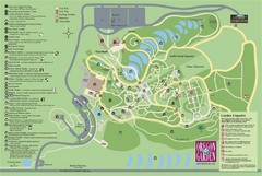
Oregon Garden Map
Map and key marking trails and more in this amazing garden.
60 miles away
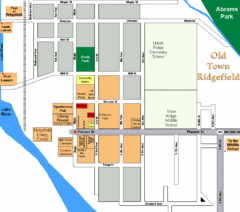
Guide Map of Old Town Ridgefield
Guide Map of Old Town Ridgefield, Washington
61 miles away
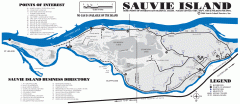
Sauvie Island tourist map
Tourist map of Sauvie Island in Oregon. Shows all businesses and points of interest.
62 miles away
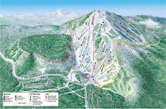
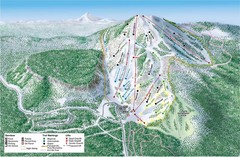
Hoodoo Mountain Ski Trail Map
Ski trail map of Hoodoo Mountain ski area.
65 miles away
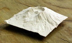
Mt. St. Helens 3D Print Map
This is a 3D-printed map of the cone, crater, and summit of Mt. St. Helens in Washington, USA. It...
65 miles away
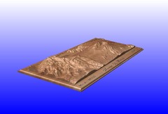
Mount St. Helens carved in wood by carvedmaps.com...
Mount St. Helens carved in wood by carvedmaps.com
65 miles away
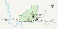
Clarno Unit John Day Fossils Beds National...
67 miles away
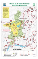
Mt. Saint Helens National Volcanic Monument...
Official recreation map showing all roads, trails, campgrounds, and other facilities. Also shows...
69 miles away
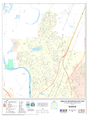
Keizer Oregon Road Map
70 miles away
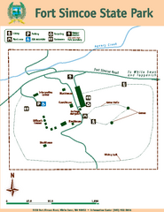
Fort Simcoe State Park Map
Map of park with detail of trails and recreation zones
81 miles away

Independence Oregon Road Map
81 miles away
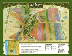
Van Duzer Vineyard Map
"A colorful vineyard map that shows the location of Van Duzer’s numerous grape varietals...
82 miles away
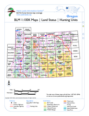
Oregon Hunting Unit/BLM Map Index
This map shows which BLM land ownership maps cover all hunting units in Oregon. Color indicates...
82 miles away

BANKS-VERNONIA STATE TRAIL Map
84 miles away
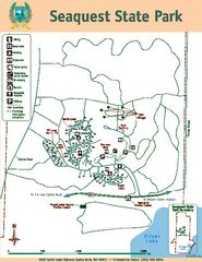
Seaquest State Park Map
Map of park with detail of trails and recreation zones
87 miles away
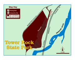
Tower Rock State Park Map
Tower Rock State Park is one of Montana's newest state parks. The 400-foot high igneous rock...
89 miles away
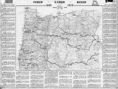
Oregon Military Map
Detailed guide to military forts, camps and roads on teh western Oregon coast
89 miles away
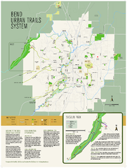
Bend urban trails system Map
The Bend Urban Trail System currently includes approximately 48 developed miles of trails which...
90 miles away
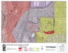
Bend, Oregon Zoning Map
Map of the zoning area changes in Bend, Oregon. Includes color-coded zoning areas.
90 miles away
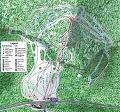
White Pass Ski Area Ski Trail Map
Trail map from White Pass Ski Area, which provides downhill, nordic, and terrain park skiing. It...
91 miles away
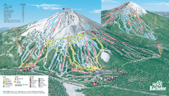
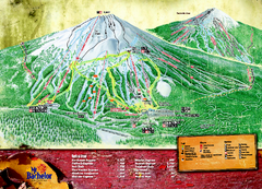
Mt. Bachelor Ski Trail map
Official ski trail map of Mount Bachelor ski area from the 2006-2007 season.
92 miles away
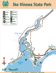
Ike Kinswa State Park Map
Map of park with detail of trails and recreation zones
95 miles away
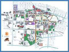
Oregon State University Campus Map
Campus map of Oregon State University in Corvallis, Oregon
95 miles away
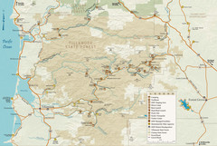
Tillamook State Forest Map
Recreation map of Tillamook State Forest. Over 60 miles of non-motorized trails and 150 miles of...
97 miles away
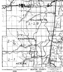
Transportaion for Benton County 1936 Map
1936 Map of Benton County, Oregon known as Muddy Area with counties, roads and towns marked
97 miles away
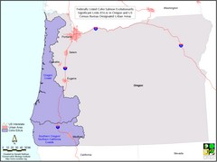
Oregon Coho Salmon Map
Shows federally listed coho salmon evolutionarily significant units in Washington state.
98 miles away
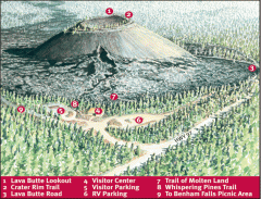
Newberry National Volcanic Monument - Lava Lands...
Map of Lava Butte which rises 500 feet above the visitor center. This cinder cone erupted 7,000...
99 miles away
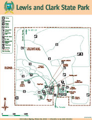
Lewis and Clark State Park Map
Map of park with detail of recreation zones and trails
99 miles away
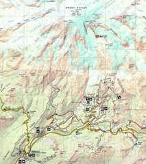
Pinnacle Saddle Trail Map
101 miles away
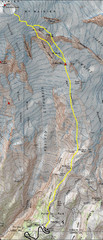
Mount Rainier Climbing Map
Guide to climbing Mount Rainier, Camp Muir Route
101 miles away
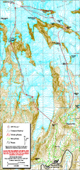
Mount Rainier Paradise Climbing Route map
Map shows all hiking and climbing routes originating from Paradise at 5,400 ft.
102 miles away

