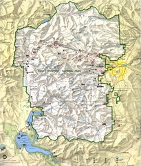
Rocky Mountain National Park Map
Rocky Mountain National Park Map and surrounding National Forests of Arapaho and Roosevelt.
155 miles away
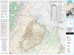
San Rafael, Utah Trail Map
Trails and main roads near Manti-LaSal National Forest and Castle Dale in Emery County, Utah
156 miles away
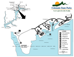
Navajo State Park Map
Map of park with detail of recreation zones
156 miles away
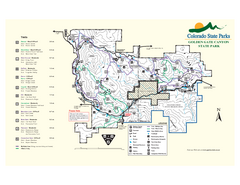
Golden Gate Canyon State Park Map
Map of park with detail of trails
156 miles away
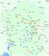
Rocky Mountain National Park Tourist Map
158 miles away
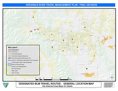
Arkansas River Planning and Zoning Map
General locations along the Arkansas River
158 miles away
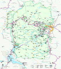
Rocky Mountain National Park Official Map
Rocky Mountain National Park Official Map. Shows all roads, trails, rivers, and mountain summits.
158 miles away
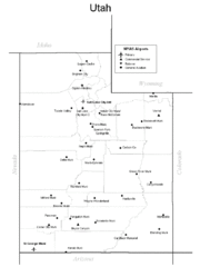
Utah Airports Map
159 miles away
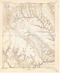
Topo Map of Escalante Quadrant, UT circa 1886
One of four USGS maps detailing the area around Capitol Reef National Park and Glen Canyon circa...
160 miles away
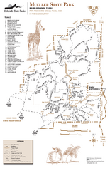
Mueller State Park Trail Map
Map of park with detail of hiking trails
160 miles away
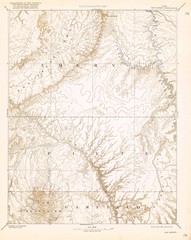
Topo Map of San Rafael Quadrant circa 1885
This is one of four USGS maps from the 1880's and 90's depicting the area around the...
162 miles away
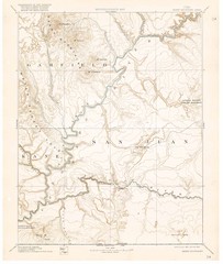
Henry Mtns Topo Map, circa 1892
One of a set of four maps circa 1890s by USGS depicting the area around the Henry Mtns and Capitol...
162 miles away
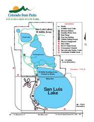
San Luis State Park Map
Map of park with detail of recreation zones
162 miles away
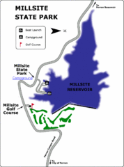
Millsite State Park Map
Camp in the quiet campground, and boat and fish on the blue waters of Millsite Reservoir. Play 18...
164 miles away
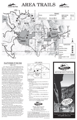
Eldorado Canyon State Park Map
Map of park with detail of trails and recreation zones
164 miles away
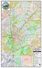
Boulder Open Space and Mountain Park Trail Map
Shows all trails in Open Spaces and Mountain Parks around Boulder, CO
166 miles away
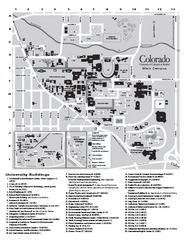
University of Colorado at Boulder Map
University of Colorado at Boulder Campus Map. All buildings shown.
166 miles away

HOP Route Map
Map of HOP bus route throughout Boulder
167 miles away
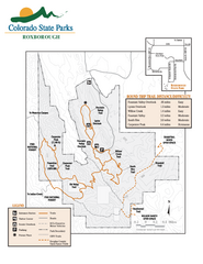
Roxborough State Park Map
Map of park with detail of recreation zones
167 miles away
USA States Map
167 miles away
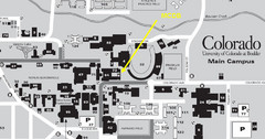
University of Colorado at Boulder Campus Map
167 miles away
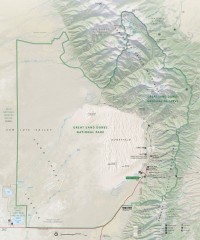
Great Sand Dunes National Park and Preserve map
Official NPS map of Great Sand Dunes National Park and Preserve. Park includes the tallest dune in...
167 miles away
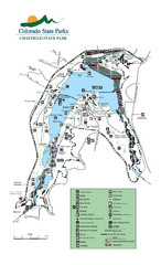
Chatfield State Park Map
Map of park with detail of recreation areas
168 miles away
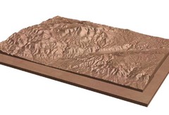
Pikes Peak, Colorado carved by CarvedMaps.com Map
Pikes Peak in Colorado has been carved by CarvedMaps.com This company can carve anywhere within...
168 miles away
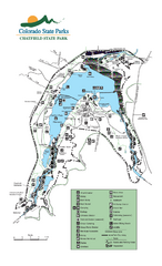
Chatfield State Park map
Detailed recreation map for Chatfield State Park in Colorado
168 miles away
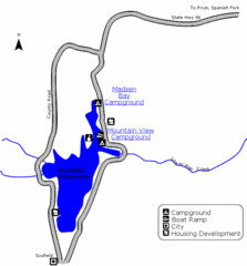
Scofield State Park Map
Camp, boat, and fish at this summer and winter recreation destination situated high in the Manti...
169 miles away
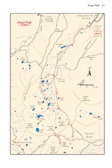
Kings Peak Trail Map
Trail map of route to Kings Peak, highest mountain in Utah at 13,528 ft. Route is around 30 miles...
170 miles away
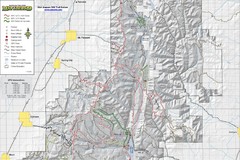
Utah Arapeen OHV Trail System- North Map
The Utah Arapeen OHV Trail System located in near the Towns of Fairview, Ephraim, and Mant, Utah.
173 miles away

Spruce Meadows Map
173 miles away
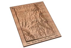
Waldo Canyon Fire Area Map
173 miles away
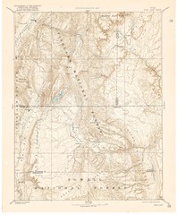
Topo Map of Capitol Reef Region (Fish Lake Quad...
This is one of four USGS maps done by the Powell survey and depicting the area around Capitol Reef...
173 miles away
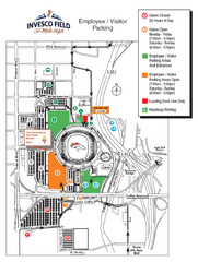
Denver, Colorado Invesco Field Parking Map
174 miles away
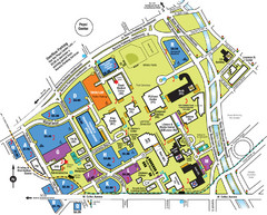
Auraria Campus Map
Map of Auraria Higher Education Center
174 miles away
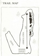
Ski Broadmoor Ski Trail Map
Trail map from Ski Broadmoor. This ski area opened in 1960’s.
175 miles away
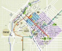
Downtown Denver map
Map of downtown Denver, CO. Shows streets, parks, light rail routes, the Colorado Convention...
175 miles away
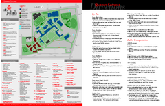
St. John's University Map
St. John's University Campus Map. All buildings shown.
175 miles away
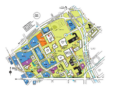
The University of Colorado at Denver and Health...
The University of Colorado at Denver and Health Sciences Center Campus Map. All buildings shown.
175 miles away
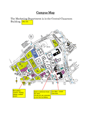
Metropolitan State College of Denver Map
Campus Map of Metropolitan State College of Denver. All buildings shown.
175 miles away
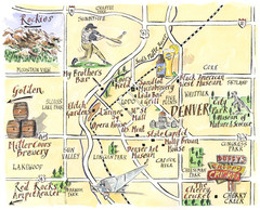
Denver Tourist Illustrated map
175 miles away

