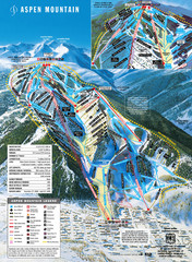
Aspen Mountain Ski Trail Map
Trail map from Aspen Mountain, which provides downhill skiing. It has 8 lifts servicing 76 runs...
72 miles away
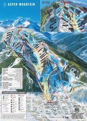
Aspen Mountain Ski Trail Map
Official ski trail map of Aspen ski area from the 2007-2008 season.
72 miles away

Aspen, Colorado by Carvedmaps.com Map
Aspen, Colorado with surrounding ski area. Carved of wood by carvedmaps.com - Tom Justin artist
74 miles away
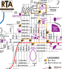
Gunnison RTA Bus Route Map
75 miles away
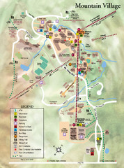
Mountain Village Tourist Map
Tourist map of Mountain Village, Colorado at the Telluride Ski Area.
80 miles away
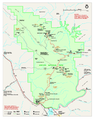
Arches National Park Official map
Official NPS park map of Arches National Park. Shows trails, roads, and all park facilities.
80 miles away
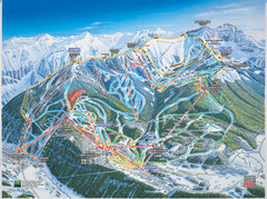
Telluride, Colorado Trail Map
80 miles away
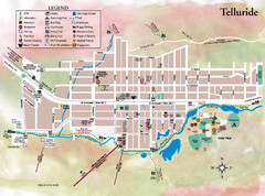
Telluride Town Map
80 miles away
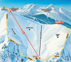
Telluride Revelation Bowl Ski Trail Map
Trail map from Telluride, which provides downhill, nordic, and terrain park skiing. It has 18 lifts...
81 miles away
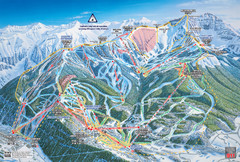
Telluride Ski Trail Map
Trail map from Telluride, which provides downhill, nordic, and terrain park skiing. It has 18 lifts...
81 miles away
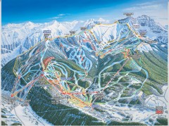
Telluride ski trail map
Official ski trail map of Telluride ski area from the 2006-2007 season.
81 miles away

Arches National Park Map
81 miles away
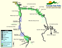
Sylvan Lake State Park Map
Map of park with detail of recreation zones and campgrounds
81 miles away
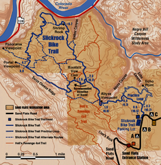
Slickrock Trail Map
Trail map of the famous Slickrock mountain biking trail in Moab, Utah. Trail distances shown. 10...
82 miles away
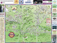
Resort Maps of Eagle River Valley Map
Resort Maps of Eagle River Valley is the most popular and widely distributed map of Minturn, Red...
82 miles away
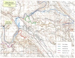
Moab Mountain Unicycling Festival Trail Map
Moab Area Topo Map with trails marked for festival
83 miles away
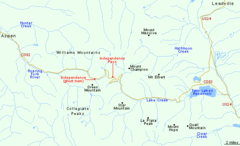
Independence Pass Area, Colorado Map
Basic map of the Independence Pass area near Aspen, Colorado. Independence Pass is the highest...
85 miles away
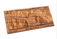
Lake City, CO carved by carvedmaps.com Map
Lake City, CO map carved by carvedmaps.com
90 miles away
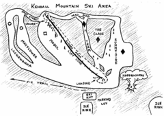
Kendall Mountain Ski Trail Map
Trail map from Kendall Mountain, which provides downhill and nordic skiing. It has 1 lift servicing...
91 miles away
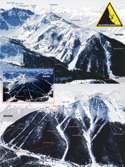
Silverton Ski Trail Map
Ski trail map of Silverton Mountain in Silverton, Colorado. Lift-serviced backcountry conditions...
92 miles away
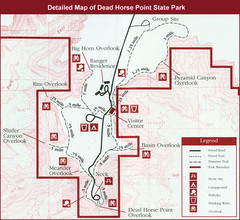
Dead Horse Point State Park Map
94 miles away
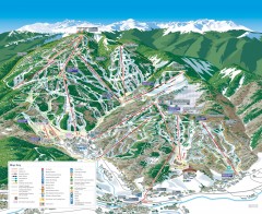
Beaver Creek Ski Trail Map
Official ski trail map of Beaver Creek ski area from the 2007-2008 season. Map also includes...
94 miles away
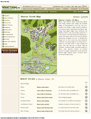
Beaver Creek Map
Beaver Creek Map, Beaver Creek Shopping Map, Beaver Creek Lodging Map, Activities, Restaurants...
94 miles away
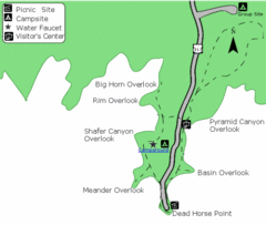
Dead Horse Point State Park Map
Stroll along the Rim Walk, towering 2,000 feet directly above the Colorado River. The mesa that is...
95 miles away
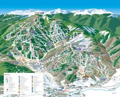
Beaver Creek Resort Ski Trail Map
Trail map from Beaver Creek Resort, which provides downhill and terrain park skiing. It has 16...
95 miles away
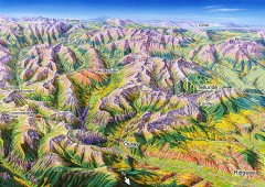
Ouray, Colorado area map
Regional artistic aerial view of the Ouray area and surrounding San Juan Mountains. Shows...
95 miles away

Eagle River Valley Resort Maps Map
Resort Maps of Eagle River Valley is the most popular and widely distributed map of Minturn, Red...
96 miles away
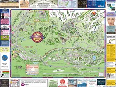
Minturn Map
99 miles away
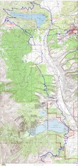
Leadville 100 Mountain Bike Race Map 2008
Race course for the 2008 Leadville 100 mountain bike race. Covers 100 miles.
100 miles away
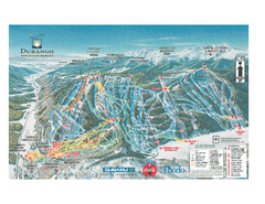
Durango Mountain Ski Trail Map
Official ski trail map of Durango Mountain Resort (formerly Purgatory) from 2003
101 miles away
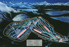
Ski Cooper Ski Trail Map
Trail map from Ski Cooper, which provides downhill and nordic skiing. It has 4 lifts servicing 26...
102 miles away
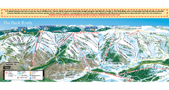
Vail Ski Trail map 2006-07
Ski trail map of Vail ski area for the 2006-2007 season. Shows all 3 sides of Vail: 1) Back Bowls...
102 miles away
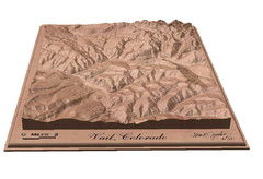
Vail, Colorado carved by carvedmaps.com Map
103 miles away
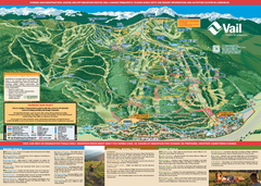
Vail Mountain resort Summer Adventure Map
Map of all hiking and mountain biking trails maintained by Vail Mountain Resort
103 miles away
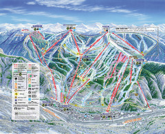
Vail Map
Map of Vail with ski locations and lifts included
103 miles away
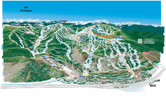
Vail Ski Trail Map
Trail map from Vail, which provides downhill and terrain park skiing. It has 32 lifts servicing 193...
103 miles away
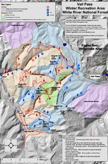
Vail Pass Area Recreation map
Recreation map of the area south of Vail Pass, Colorado. Shows trails and management areas.
103 miles away

Utah Dinosaur Country Map
103 miles away
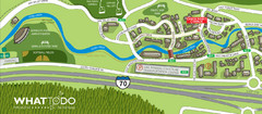
Vail Village Map
103 miles away

