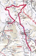
Death Valley Guide Map
513 miles away
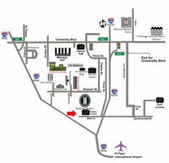
Area Map of El Paso
Area Map of El Paso. Illustrates all buildings, streets and Visitor Parking in the city.
514 miles away

El Paso, Texas City Map
514 miles away
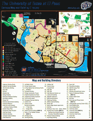
The University of Texas at El Paso Map
The University of Texas at El Paso. All buildings shown.
514 miles away
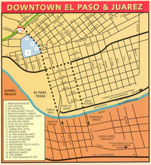
Downtown El Paso Map
Downtown tourist street map of El Paso and nearby Juarez
514 miles away
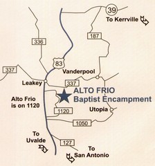
Alto Frio, Texas Tourist Map
515 miles away
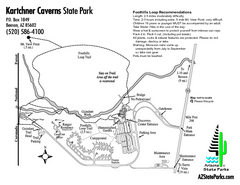
Kartchner Caverns State Park Map
Map of park with detail of trails and recreation zones
515 miles away
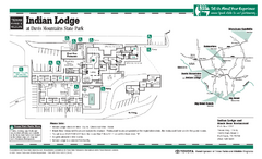
Indian Lodge, Texas State Park Location and Room...
515 miles away
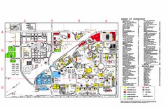
Texas Tech University Parking/ Visitor Map
Map showing all buildings, and detailed parking information at Texas Tech University.
515 miles away
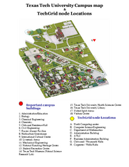
Texas Tech University Map
Campus Map of Texas Tech University. All buildings shown.
516 miles away
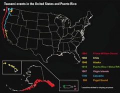
US Tsunami Events Map
Shows tsunami events in the US and Puerto Rico from 900 to 1964. Map not to scale. This map shows...
516 miles away
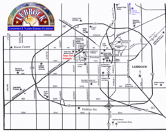
Lubbock City Map
City map of Lubbock, Texas
517 miles away

Death Valley National Park Map
517 miles away
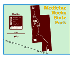
Medicine Rocks State Park Map
As the name implies, Medicine Rocks was a place of "big medicine" where Indian hunting...
517 miles away
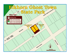
Elkhorn Ghost Town State Park Map
Clearly marked map of old 1880's ghost town with impressive structures.
518 miles away
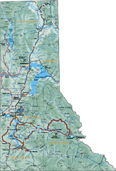
Northern Idaho Road Map
518 miles away
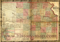
Kansas Railroad Map 1867
Here for your perusal is a sectional map of the state of Kansas showing the route of the Union...
519 miles away
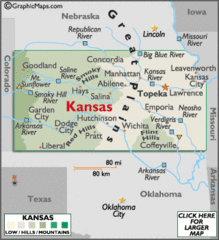
Kansas Elevations Map
519 miles away
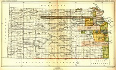
Kansas Native American Territories 1866-1867 Map
489., 492 Cherokee, 19 Jul 1866 (on Indian Territory Map 22, Kansas, Map 27) 495. Sauk and Fox of...
519 miles away
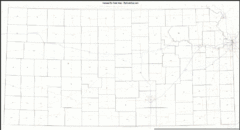
Kansas Zip Code Map
Check out this Zip code map and every other state and county zip code map zipcodeguy.com.
519 miles away
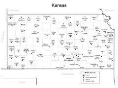
Kansas Airports Map
519 miles away
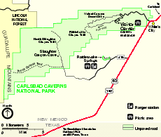
Carlsbad Caverns National Park Official Map
Official NPS map of Carlsbad Caverns National Park in New Mexico. Map shows all areas. Carlsbad...
520 miles away
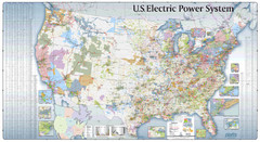
US Electric Power System Map
Map showing the US electric power system. from site: "shows power generation and transmission...
521 miles away
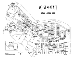
Boise State University Map
Boise State University Campus Map. All areas shown.
522 miles away
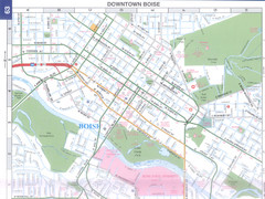
Boise, Idaho Downtown Map
Map of the downtown area of Boise, Idaho includes all streets, parks and the Boise State University.
523 miles away
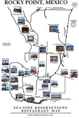
Rocky Point, New Mexico Restaurants Map
523 miles away
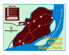
Pirogue Island State Park Map
Visitors find this isolated and undeveloped cottonwood-covered Yellowstone River island an...
523 miles away
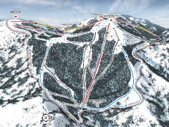
Bogus Basin Ski Trail Map - Pine Creek
Official ski trail map of Pine Creek area of Bogus Basinski area from the 2007-2008 season.
524 miles away
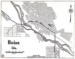
Boise Idaho 1917 Map
524 miles away
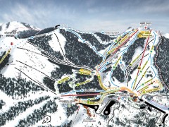
Bogus Basin Ski Trail Map - Front
Official ski trail map of frontside of Bogus Basin ski area from the 2007-2008 season.
525 miles away
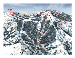
Bogus Basin Pine Creek Ski Trail Map
Trail map from Bogus Basin, which provides downhill, night, nordic, and terrain park skiing. It has...
525 miles away
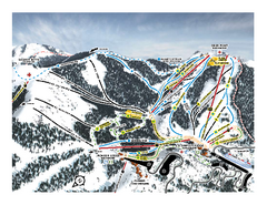
Bogus Basin Frontside Ski Trail Map
Trail map from Bogus Basin, which provides downhill, night, nordic, and terrain park skiing. It has...
525 miles away
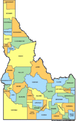
Idaho Counties Map
525 miles away
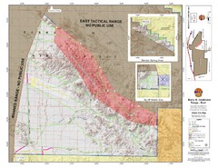
Barry M. Goldwater Range Topographical Map
Map showing detailed information about the Barry M. Goldwater Range, Sauceda and Sand Tank...
527 miles away
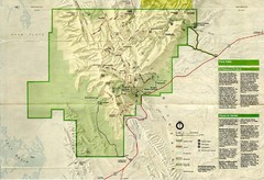
Guadalupe Mountains National Park Map
Map of Guadalupe Mountains National Park, year unknown. Scanned.
527 miles away

Kitt Peak National Observatory Map
528 miles away
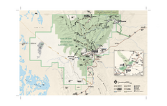
Guadalupe Mountains National Park Official Park...
Official NPS map of Guadalupe Mountains National Park in Texas. Guadalupe Mountains National Park...
529 miles away
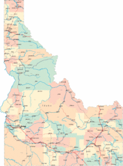
Idaho Road Map
530 miles away

Kansas Map Circa 1910
531 miles away

