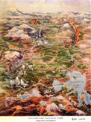
Detail of Yellowstone National Park, 1910 Map
Detail of Yellowstone National Park showing the Oregon Short Line Railroad, 1910
413 miles away
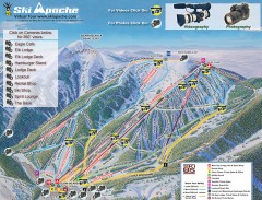
Ski Apache Ski Trail Map
Official ski trail map of Ski Apache ski area in New Mexico. Go to the site to view photos and...
414 miles away
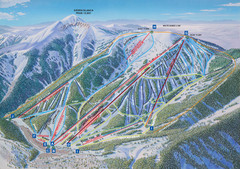
Ski Apache Ski Trail Map
Trail map from Ski Apache.
414 miles away
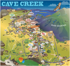
Cave Creek, Arizona Map
416 miles away
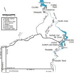
Scottsdale Map
Map of Scottsdale's reservoirs and recreational areas.
417 miles away
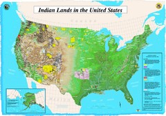
Indian Lands Map
Map of Indian Lands throughout the US
417 miles away
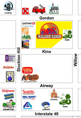
Walleck Ranch Area, Kingman Arizona Map
419 miles away
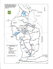
Ashton/Island Park Recreation Sites Map
419 miles away
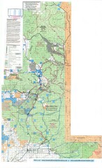
Island Park Idaho Area Snowmobile Map
419 miles away
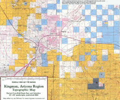
Kingman, Arizona Region Topographic Map
Elevation in qauadrangles for the Kingman, Arizona area
419 miles away
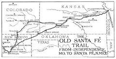
The Old Santa Fe Trail Map
420 miles away
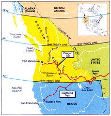
Oregon Treaty Historical map
423 miles away
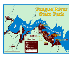
Tongue River Reservoir State Park Map
The 12-mile long reservoir is situated among scenic red shale, juniper canyons, and the open...
424 miles away
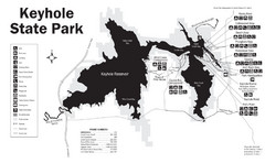
Keyhole State Park Map
Keyhole State Park is located on the western edge of the famed Black Hills, between Sundance and...
425 miles away
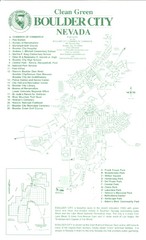
Boulder City Map
Map of Boulder City, Nevada. Shows points of interest and parks.
425 miles away
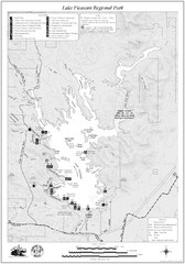
Lake Pleasant Regional Park Map
425 miles away
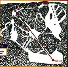
Mystic Miner Ski Resort at Deer Mountain West...
Trail map from Mystic Miner Ski Resort at Deer Mountain.
426 miles away
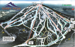
Terry Peak Ski Area Ski Trail Map
Trail map from Terry Peak Ski Area.
427 miles away
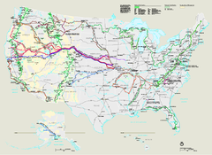
National Trails System Map
Map of all US National Scenic Trails and National Historic Trails. Shows all National Park System...
427 miles away
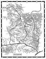
Fountain Hills, Arizona Map
427 miles away
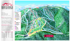
Red Lodge Mountain Ski Trail Map
Trail map from Red Lodge Mountain.
428 miles away
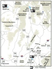
Icefishing Map, Elko County, Nevada
Map of ice fishing locations in Elko County, NV. Shows reservoirs, roads and towns.
428 miles away
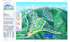
Red Lodge Mountain Ski Trail Map
Official ski trail map of Red Lodge Mountain ski area from the 2007-2008 season.
428 miles away
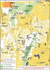
Land Use Map of Elko County, Nevada
Land use map of Elko County, Nevada. Shows lands classified as public or private, and owners of...
430 miles away
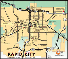
Rapid City, South Dakota City Map
430 miles away
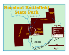
Rosebud Battlefield State Park Map
This National Historic Landmark on the rolling prairie of eastern Montana preserves the site of the...
430 miles away
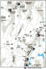
Cross-country Skiing, Elko County, Nevada Map
Map of cross-country skiing opportunities in Elko County, Nevada. Shows skiing locations, roads...
431 miles away
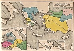
Historical Map of Mediterranean Sea B.C. 1884
"The Eastern half of the Mediterranean Sea during the two centuries preceeding the birth of...
431 miles away
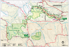
Official Badlands National Park Map
Official NPS map of Badlands National Park in South Dakota. The map shows all area's including...
432 miles away
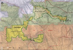
Badlands National Park Map
432 miles away
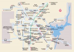
Las Vegas Surrounding Areas, Nevada Map
Tourist map of the areas surrounding Las Vegas, Nevada. Shows hotels and inns outside of downtown...
432 miles away
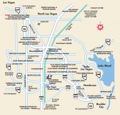
Point of Interest in Las Vegas, Nevada Map
Tourist map of Las Vegas, Nevada. Shows museums, government buildings, and other attractions.
432 miles away
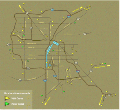
Golf Courses near Las Vegas, Nevada Map
Map of golf courses in and around Las Vegas, Nevada. Shows public and private courses, as well as...
432 miles away
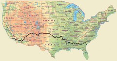
Cross Country Bike Route Map
A Map Of The Route taken by Lucas Hartman on his 6 week, 3,108.1 mile cross-country bike trip.
432 miles away
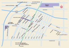
Downtown Las Vegas, Nevada Map
Tourist map of downtown Las Vegas, Nevada. Casinos, hotels, and shopping opportunities are shown...
433 miles away
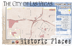
Las Vegas Historical Landmarks Map
433 miles away
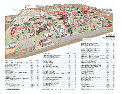
University of Nevada - Las Vegas Campus Map
Campus map of UNLV (University of Nevada - Las Vegas) All areas shown.
433 miles away
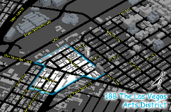
Las Vegas Arts District Map
433 miles away

Community College of Southern Nevada Map
Campus Area map of the Community College of Southern Nevada. The college is located on three main...
434 miles away
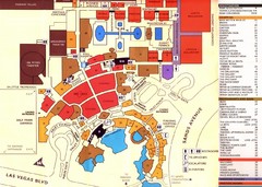
Las Vegas Tourist Map
434 miles away

