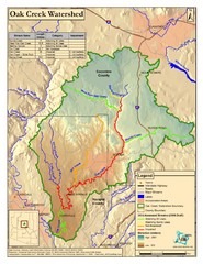
Oak Creek Watershed Map
Colorful Map of Oak Creek Watershed. Includes detailed information about the watershed, roads...
344 miles away
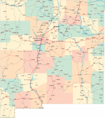
New Mexico Road Map
Detailed road map of New Mexico state
344 miles away
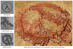
Rendered Terrain of the Grand Canyon Map
Created from Digital Elevation Models
346 miles away
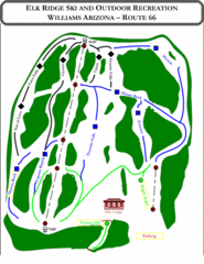
Elk Ridge Ski Trail Map
Trail map from Elk Ridge, which provides downhill skiing. It has 2 lifts servicing 7 runs; the...
347 miles away
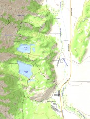
Bradley and Taggart Lake Hiking Map
Hiking map of Bradley Lake and Taggart Lake in Grand Teton National Park. A popular hike and good...
348 miles away
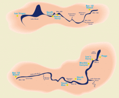
Grand Canyon River Rafting Map
Guide to the Colorado River, Grand Canyon river rafting
348 miles away
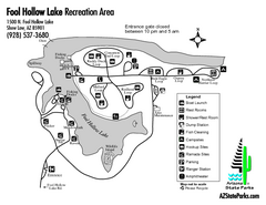
Fool Hollow Lake Recreation Area Map
Map of recreation area with detail of trails and recreation zones
348 miles away
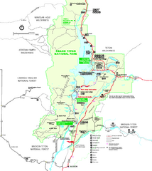
Grand Teton National Park Map - Summer
Official NPS summer map of Grand Teton National Park, Wyoming. The summer map includes all...
351 miles away
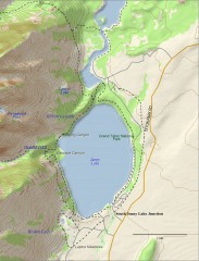
Jenny Lake Hiking Map
Shows hiking trails around Jenny Lake in Grand Teton National Park.
351 miles away
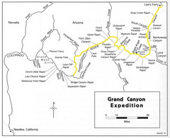
Grand Canyon River Expedition Map
Guide to the Colorado River, rapids and washes
352 miles away
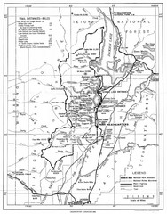
Grand Teton National Park, 1946 Map
353 miles away
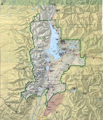
Grand Teton National Park Map
353 miles away
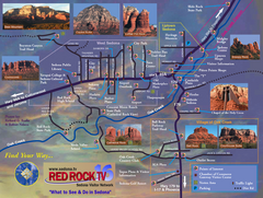
Sedona Tourist Map
Tourist map of Sedona, AZ. Shows points of interest and photos of local red rock formations and...
353 miles away
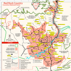
Red Rock County Trail Map
Trail map of trails of Red Rock County, AZ around Sedona, AZ. Shows trailheads and trail names.
353 miles away
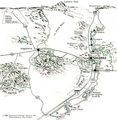
Socorro, New Mexico Guide Map
Trails and mountains map in and around Socorro, New Mexico
354 miles away
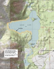
Leigh Lake Fishing Map
Fishing map of Leigh Lake in Teton National Park. From jackdennis.com: "Leigh Lake is a...
354 miles away
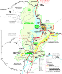
Grand Teton National Park Map - Winter
Official NPS winter map of Grand Teton National Park, Wyoming. The winter park map details winter...
356 miles away
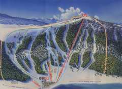
Big Horn Ski Resort Ski Trail Map
Trail map from Big Horn Ski Resort.
356 miles away
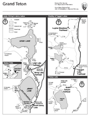
Grand Teton National Park Lakeshore Hiking Map
Shows scenic hikes around lakes such as Phelps, Jenny, Leigh and Taggart in Grand Teton National...
357 miles away
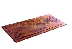
Grand Tetons by Carvedmaps.com Map
Grand Tetons including Teton Villiage and Jenny Lake by carvedmaps.com
357 miles away
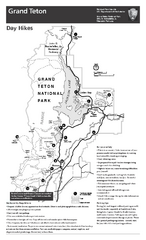
Grand Teton National Park Day Hikes Map
Shows suggested hikes and safety recommendations for day hikes in Grand Teton National Park, WY...
357 miles away

Grand Targhee Ski Trail Map
Official ski trail map of Grand Targhee ski area from the 2007-2008 season.
358 miles away
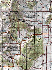
City of Rocks Topo Map
This topo map does not do justice to City of Rocks which is a wonderful reserve that is managed by...
358 miles away
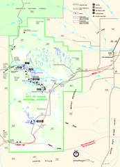
City of Rocks Park Map
This is the official Map for the reserve
358 miles away
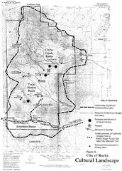
Sites of Cultural Importance, City of Rocks Area...
358 miles away
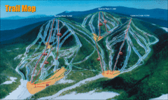
Sunrise Park Resort Ski Trail Map
Trail map from Sunrise Park Resort, which provides downhill, night, nordic, and terrain park skiing...
362 miles away
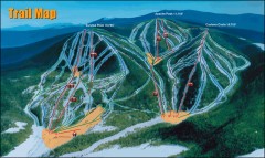
Sunrise Park Ski Trail Map
Official ski trail map of Sunrise Park ski area
362 miles away
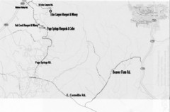
Central Arizona Wineries Map
362 miles away
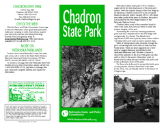
Chadron State Park Map
The majestic beauty of the Pine Ridge forms the backdrop for this great, get away from it all state...
363 miles away
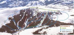
Pomerelle Ski Area Ski Trail Map
Trail map from Pomerelle Ski Area, which provides downhill, night, and terrain park skiing. It has...
364 miles away
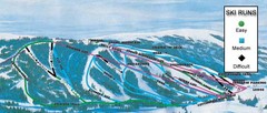
Kelly Canyon Ski Area Ski Trail Map
Trail map from Kelly Canyon Ski Area, which provides downhill, night, and terrain park skiing. It...
364 miles away
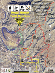
Dead Horse Trail System Map
Trail map of area surrounding Dead Horse State Park in Clarkdale, Arizona
365 miles away
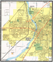
Idaho Falls, Idaho City Map
367 miles away
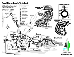
Dead Horse Ranch State Park Map
Map of park with detail of trails and recreation zones
367 miles away
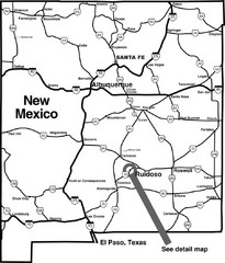
New Mexico Tourist Map
General outline of New Mexico
369 miles away
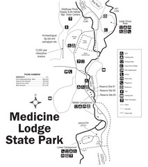
Medicine Lodge State Park Map
The Medicine Lodge site has long been known for its Indian petroglyphs and pictographs, but not...
369 miles away
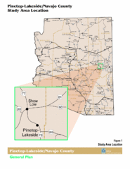
Arizona Highway Map
377 miles away
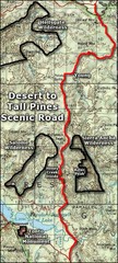
Desert to Tall Pines Scenic Byway Map
A much better map of the Desert to Tall Pines Scenic Byway. Unfortunately does not give hiking...
377 miles away
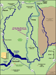
From the Desert to the Tall Pines Scenic Byway Map
Desert to Tall Pines Scenic Byway. This is the Scenic Byways official name. This is not a very...
377 miles away
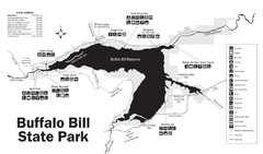
Buffalo Bill State Park Map
379 miles away

