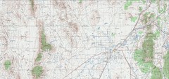
Delta Quad Sheet Detail 1972 Map
247 miles away
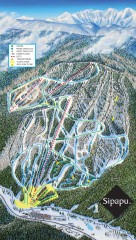
Sipapu Ski Trail Map
Official ski trail map of Sipapu ski area from the 2007-2008 season.
247 miles away
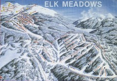
Elk Meadows Resort Ski Trail Map
Trail map from Elk Meadows Resort.
249 miles away

Wolf Mountain Ski Trail Map
Trail map from Wolf Mountain.
249 miles away
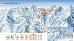
Powder Mountain Ski Trail Map
Official ski trail map of Powder Mountain ski area from the 2007-2008 season.
250 miles away
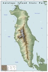
Antelope Island State Park Map
Shaded relief map of Antelope Island State Park, Utah. Shows facilities, peaks, and springs...
251 miles away
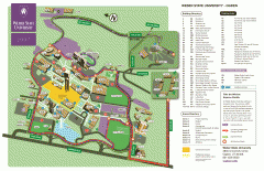
Weber State University Map
Weber State University Campus Map. All buildings shown.
251 miles away
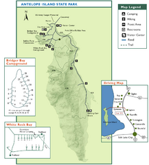
Antelope Island State Park Map
Trail map of Antelope Island State Park in the Great Salt Lake, Utah. Shows campgrounds.
251 miles away
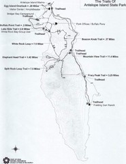
Antelope Island State Park Map
Antelope Island State Park, the largest island in the Great Salt Lake, is home to a roaming herd of...
252 miles away

Hopi Reservation Map
Hopi Reservation locations in Arizona
252 miles away

Utah mountain resorts Map
252 miles away
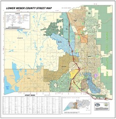
Lower Weber County Street Map
Street map for area around Ogden, UT
253 miles away
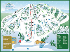
Pine Creek Ski Area Ski Trail Map
Trail map from Pine Creek Ski Area.
253 miles away
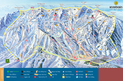
Snowbasin Mountain Trail Map
Ski trail map of Snowbasin Mountain
253 miles away
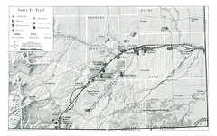
Santa Fe Trail Visitor Map
Map of the Santa Fe Trail showing all hiking trails, camping and picnic areas, roads, and monuments...
254 miles away
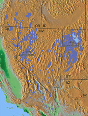
Pleisocene Lakes of western U.S. Map
255 miles away
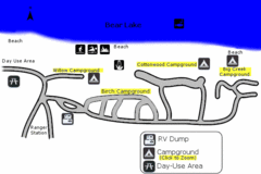
Rendezvous Beach Map
Bear Lake State Park is nestled high in the Rocky Mountains on the Utah-Idaho border. The cool...
255 miles away
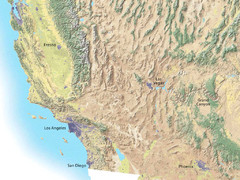
Southwest USA topo Map
256 miles away
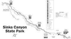
Sinks Canyon State Park Map
Sinks Canyon State Park offers hiking trails, abundant wildlife viewing, bird-watching, fishing...
258 miles away
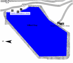
Willard Bay State Park Map
Boat, swim, waterski, and fish on the warm waters of Willard Bay. Camp under tall cottonwood trees...
260 miles away
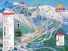
Ski Santa Fe Ski Trail Map
Official ski trail map of Ski Santa Fe ski area from the 2006-2007 season.
261 miles away
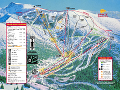
Ski Santa Fe Resort Ski Trail Map
Trail map from Ski Santa Fe Resort.
261 miles away
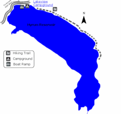
Hyrum State Park Map
Tucked away in Cache County, Hyrum State Park offers many recreation opportunities including...
263 miles away
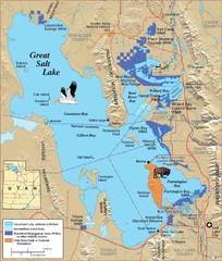
Great Salt Lake Map
263 miles away
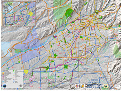
Santa Fe Bike and Trail Map
Trail and bikeway map of Santa Fe, New Mexico
264 miles away
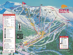
Santa Fe, New Mexico Ski Map
264 miles away
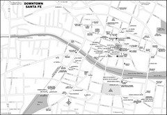
Downtown Santa Fe, New Mexico Map
264 miles away
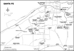
Santa Fe, New Mexico City Map
264 miles away
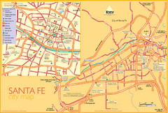
Santa Fe Tourist Map
Tourist map of Santa Fe, New Mexico. Inset shows downtown Santa Fe in detail.
264 miles away
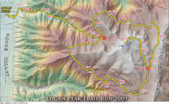
Logan Peak Trail Run Map 2009
Trail run map of the Logan Peak Trail Run 2009 course.
264 miles away
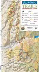
Dale Ball Trail Map
Map of the Dale Ball Trail system includes 22.2 miles of hiking and mountain biking trails that...
265 miles away
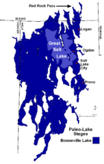
Lake Bonneville Levels Map
267 miles away
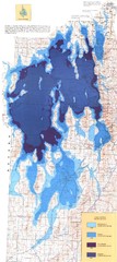
Ancient Lake Bonneville Map
267 miles away

Beaver Mountain Ski Area Ski Trail Map
Trail map from Beaver Mountain Ski Area.
268 miles away
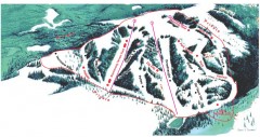
Hogadon Ski Area Trail Map
Ski trail map of Hogadon ski area, located on Casper Mountain
271 miles away
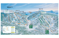
Brian Head Ski Trail Map
Official ski trail map of Brian Head ski area from the 2007-2008 season.
272 miles away
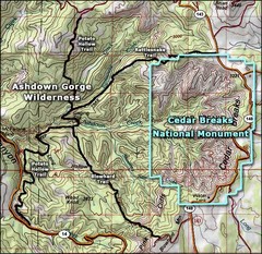
Topo Map of Ashdown Gorge Wilderness, including...
Cedar Breaks is similar to Bryce Canyon in many ways, but is more of an amphitheater than a canyon...
273 miles away
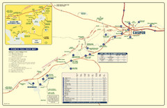
Casper, Wyoming City Map
278 miles away


