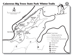
Calaveras Big Trees State Park Winter Map
Map of park with detail of winter ski trails and recreation zones
80 miles away
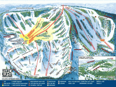
Bear Valley Ski Trail Map
Official ski trail map of Bear Valley ski area from the 2007-2008 season.
81 miles away

Mi-Wok OHV Trail Map
Trail Maps for Off Road Bikes in Stanislaus National Forest
83 miles away
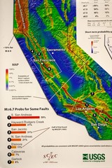
California Faults and Earthquake Probablity...
The Uniform California Earthquake Rupture Forecast map hangs at a press conference where...
83 miles away
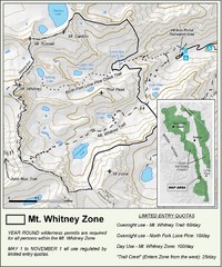
Mt. Whitney Zone Map
Zone map of Mt. Whitney area. Shows trail from Whitney Portal and Zone requiring Limited Use...
85 miles away
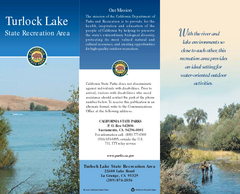
Turlock Lake State Recreation Area Map
Map of recreation area with detail of trails and recreation zones
85 miles away

Turlock Lake State Recreation Area Campground Map
Map of campground region of recreation area with detail of trails and recreation zones
85 miles away
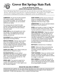
Grover Hot Springs State Park Campground Map
Map of park with detail of trails and recreation zones
86 miles away
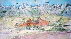
Lone Pine Map
Panorama tourist map of town of Lone Pine, California with surrounding area including the Alabama...
89 miles away
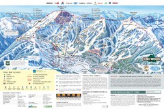
Kirkwood Ski Trail Map
Trail map from Kirkwood, which provides downhill, nordic, and terrain park skiing. It has 14 lifts...
92 miles away
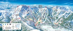
Kirkwood Ski Trail map 2006-07
Official ski trail map of Kirkwood ski area for the 2006-2007 season.
92 miles away
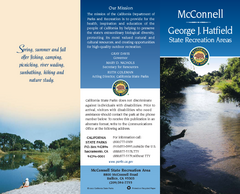
McConnell State Recreation Area Map
Map of park with detail of trails and recreation zones
94 miles away
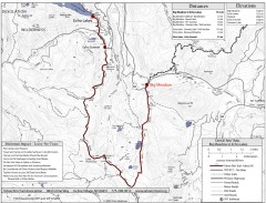
Tahoe Rim Trail: Big Meadow to Echo Lake Map
Topographic hiking map of the Big Meadow-Echo Lake leg of the Tahoe Rim Trail. Bike and pedestrian...
98 miles away
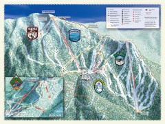
Sierra-at-Tahoe Ski Trail Map
Official ski trail map of Sierra-at-Tahoe ski area from the 2007-2008 season.
98 miles away
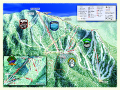
Sierra-at-Tahoe Ski Trail Map
Trail map from Sierra-at-Tahoe, which provides downhill and terrain park skiing. It has 12 lifts...
98 miles away
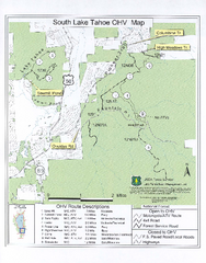
South Lake Tahoe Off-Highway Vehicle Map
Off-Highway Vehicle Map of South Lake Tahoe, California. Shows roads open to motorcycles, ATVs, and...
100 miles away
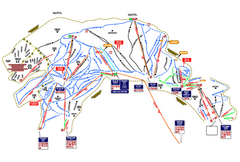
Heavenly Ski Resort Ski Trail Map
Trail map from Heavenly Ski Resort, which provides downhill, nordic, and terrain park skiing. It...
101 miles away
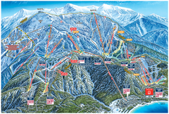
Heavenly Valley Ski Trail Map
Official ski trail map of Heavenly Valley ski area from the 2007-2008 season.
102 miles away
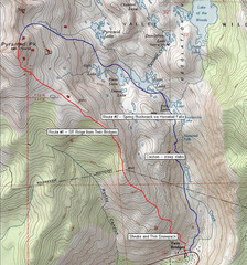
Pyramid Peak Ski Route Map
Backcountry ski route map of Pyramid Peak 9983 ft in the Desolation Wilderness near Lake Tahoe...
102 miles away
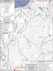
Tahoe Rim Trail: Kingsbury South to Big Meadows...
Topographic hiking map of the Kingsbury South-Big Meadows leg of the Tahoe Rim Trail. Shows...
103 miles away
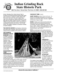
Indian Grinding Rock State Historic Park...
Map of campground region of park with detail of trails and recreation zones
103 miles away
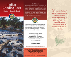
Indian Grinding Rock State Historic Park Map
Map of park with detail of trails and recreation zones
103 miles away
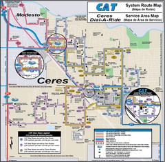
Ceres, CA Transportation Map
106 miles away
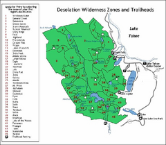
Desolation Wilderness, Lake Tahoe, California Map
Map of Desolation Wilderness, southwest of Lake Tahoe, California. Shows pack-in camping zones...
106 miles away
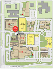
Memorial Medical Center Map
106 miles away
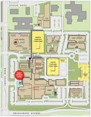
Memorial Medical Center Map
106 miles away
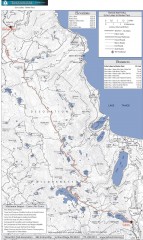
Tahoe Rim Trail: Echo Lake to Barker Pass Map
Topographic hiking map of the Echo Lake-Barker Pass leg of the Tahoe Rim Trail. Shows pedestrian...
107 miles away
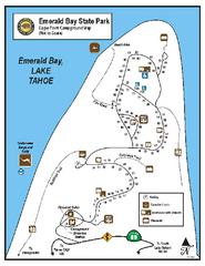
Emerald Bay State Park Campground Map
Map of park with detail of trails and recreation zones
107 miles away
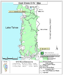
East Shore Lake Tahoe Off-highway Vehicle Map
Off-highway vehicle map of the East Shore of Lake Tahoe, California. Shows roads open to...
108 miles away
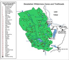
Desolation Wilderness Permits Zone Map
Zone and trailhead map of the Desolation Wilderness near Lake Tahoe, California. Use to figure out...
108 miles away
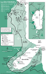
Emerald Bay State Park and DL Bliss State Park...
Trail map of Emerald Bay State Park and DL Bliss State Park on the shores of Lake Tahoe, California
108 miles away
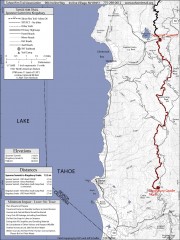
Tahoe Rim Trail: Spooner Summit to Kingsbury...
Topographic hiking map of the Spooner Summit-Kingsbury North leg of the Tahoe Rim Trail. Bike and...
109 miles away
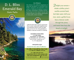
D.L. Bliss State Park Map
Map of park with detail of trails and recreation zones
109 miles away
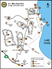
D.L. Bliss State Park Campground Map
Map of park with detail of trails and recreation zones
109 miles away

Carson River Aquatic Trail Map
113 miles away

Sugar Pine Point State Park South Map
Map of southern region of park with detail of trails and recreation zones
114 miles away
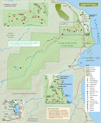
Sugar Pine Point State Park Map
Map of park with detail of trails and recreation zones
114 miles away
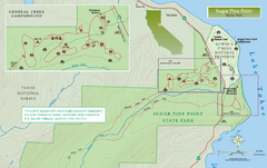
Sugar Pine Point State Park North Map
Map of northern region of park with detail of trails and recreation zones
114 miles away
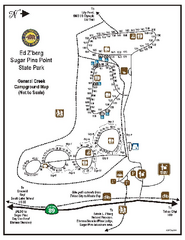
Sugar Pine Point State Park Campground Map
Map of campground region of park with detail of trails and recreation zones
114 miles away
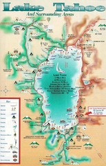
Lake Tahoe and nearby activities Map
Lake Tahoe and nearby resorts and activities
115 miles away

