
Mammoth Mountain Ski Trail Map
Trail map from Mammoth Mountain, which provides downhill, nordic, and terrain park skiing. It has...
0 miles away
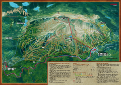
Mammoth Mountain Bike Park Map
Shows all trails at the Mammoth Mountain Bike Park.
less than 1 mile away
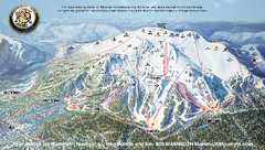
Mammoth Mountain Ski Trail map 2005
Official ski trail map of Mammoth Mountain ski area from the 2005-2006 season.
less than 1 mile away

Mammoth Trail Map
Ski trail map
less than 1 mile away

Mammoth Mountain Downhill Skiing Trails Map
Downhill skiing trails on Mammoth Mountain, near Mammoth Lakes, California. Shows trails and their...
2 miles away
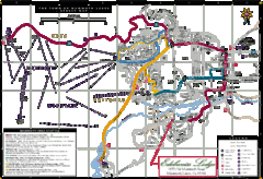
Mammoth Town Map
Map of Mammoth, including shuttle lines
2 miles away
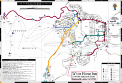
Mammoth Town Map
Town of Mammoth Lakes with shuttle lines included
3 miles away
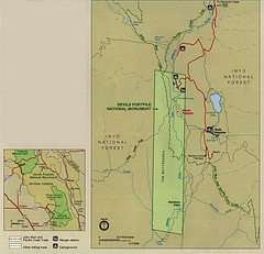
Devil's Postpile National Monument Map
3 miles away
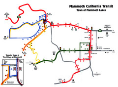
Mammoth Transit Map
Map of Mammoth transit system
3 miles away
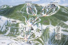
June Mountain Ski Trail Map
Official ski trail map of June Mountain ski area from the 2007-2008 season.
8 miles away
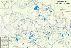
Fish Creek Area Anglers' Map
Hand-drawn fishing map of lakes, peaks, and trails in the Fish Creek Area of the John Muir...
10 miles away
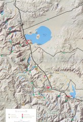
Eastern Sierra Trailhead Map - Lee Vining and...
Shows ranger stations and major trailheads in the eastern Sierra Nevada in the Mono Lake and...
12 miles away
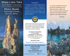
Mono Lake Tufa State Natural Reserve Map
Map of reserve with detail of trails and recreation zones
25 miles away
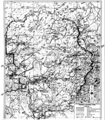
1931 Yosemite National Park Map
Yosemite National Park Map with trails and elevations
28 miles away
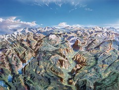
Yosemite oblique Map
Oblique Panorama map of Yosemite National Park
28 miles away
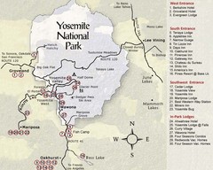
Yosemite National Park Map
28 miles away

Yosemite Valley Park Map
Guide Map of the Yosemite National Forest
29 miles away

John Muir Trail Elevation Map
Profile, Elevation, Landmarks and Mileage for the John Muir Trail entertainment not accurate enough...
29 miles away
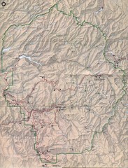
Yosemite National Park Map
Yosemite National Park Map. Shows location of all hiking trails, camp grounds, visitor center and...
29 miles away
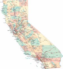
California Road Map
30 miles away
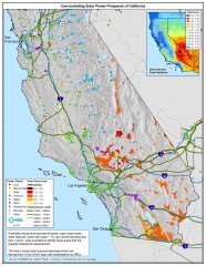
Concentrating Solar Power Prospects California Map
Shows power plants, concentrating solar resources, and transmission lines for all of California...
30 miles away
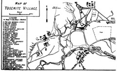
Yosemite Village Guide Map
30 miles away
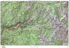
Island Pass to Yosemite Village Topo Map
30 miles away
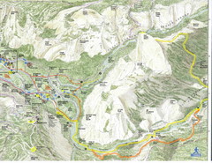
Half Dome view from Glacier Point Map
30 miles away
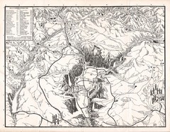
Yosemite National Park Map
Map of Yosemite National Park, 1948
30 miles away
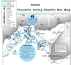
Yosemite Valley Shuttle Map
31 miles away
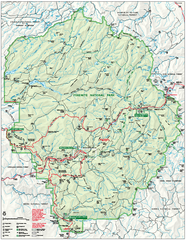
Yosemite National Park official map
Official park map showing trails, roads, campgrounds, ranger stations, parking, picnic areas, and...
31 miles away
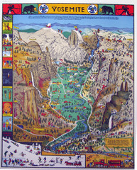
Yosemite National Park Visitor Map
Colorful Visitor Map of Yosemite National Park. Illustrates location of hiking trails, camp...
31 miles away
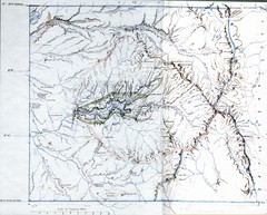
Proposed Yosemite National Park Map 1890
John Muir's map of proposed Yosemite National Park, California. Green is the original 1864...
31 miles away
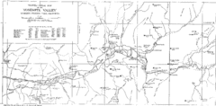
Yosemite Valley Map
Map of the valley and key elevations
31 miles away
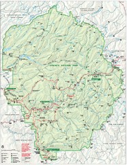
Yosemite National Park Map
Detailed Park Map of Yosemite National Park. Includes all camping areas, trails, roads...
31 miles away
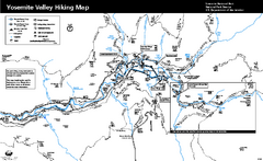
Yosemite Valley Trail Map
Trail map of hiking trails in Yosemite Valley, Yosemite National Park, California.
31 miles away
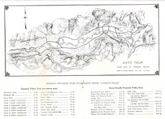
Yosemite Valley Auto Tour Map
Auto tour guide map of Yosemite, 1937
32 miles away
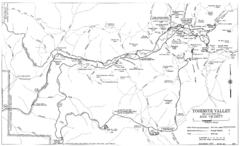
Yosemite Valley Automobile Guide Map 1963
Yosemite Valley and Vicinity with Elevations
32 miles away

Sierra High Route Map
Guide to the Sierra High Route, one of the most challenging treks in the Sierras
33 miles away

Yosemite National Park Guide Map
Guide map of Yosemite National Park
33 miles away
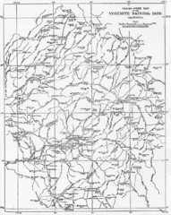
1914 Yosemite National Park Map
34 miles away
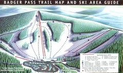
Badger Pass Ski Trail Map
Official ski trail map of Badger Pass ski area
35 miles away
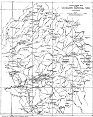
Yosemite Park Map (before development)
Map of Yosemite Park before valley development, showing only Portal Road
37 miles away

Bodie State Park SE Map
Map of park with detail of trails and recreation zones
39 miles away

