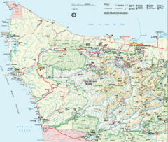
Olympic National Park Map
132 miles away
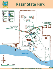
Rasar State Park Map
Map of park with detail of trails and recreation zones
132 miles away
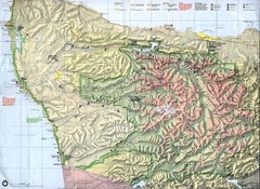
Olympic National Park Map
132 miles away
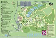
Oregon Garden Map
Map and key marking trails and more in this amazing garden.
133 miles away
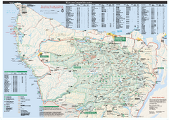
Olympic National Park wilderness campsite map
Official wilderness campsite map of Olympic National Park. Shows roads, trails, visitor...
133 miles away
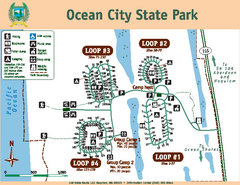
Ocean City State Park Map
Map of park with detail of trails and recreation zones
134 miles away
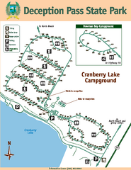
Deception Pass State Park Map
Map of park with detail of trails and recreation zones
135 miles away
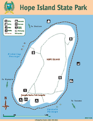
Hope Island State Park Map
Map of park with detail of trails and recreation zones
135 miles away
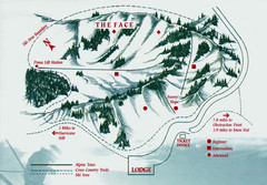
Hurricane Ridge Ski Trail Map
Trail map from Hurricane Ridge.
135 miles away
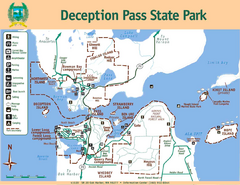
Deception Pass State Park Map
Map of park with detail of trails and recreation zones
135 miles away
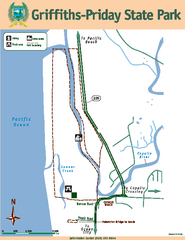
Griffiths-Priday State Park Map
Griffiths-Priday State Park
136 miles away
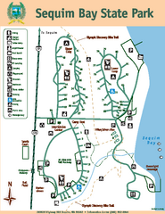
Sequim Bay State Park Map
Map of park with detail of trails and recreation zones
137 miles away
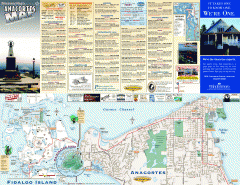
Fidalgo Island tourist map
Tourist map of Fidalgo Island in Anacortes, Washington. Shows recreation and points of interest.
137 miles away
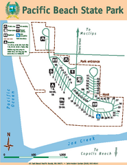
Pacific Beach State Park Map
Map of park with detail of trails and recreation zones
139 miles away
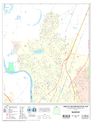
Keizer Oregon Road Map
139 miles away
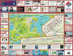
Anacortes tourist map
Tourist map of Anacortes, Washington. Shows recreation and points of interest.
139 miles away

Skagit County Washington, 1909 Map
139 miles away
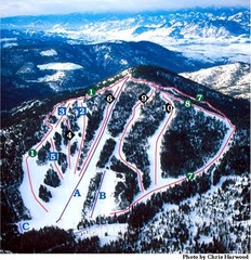
Loup Loup Ski Bowl Ski Trail Map
Trail map from Loup Loup Ski Bowl, which provides downhill, night, and nordic skiing. It has 2...
140 miles away
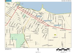
Port Angeles City Map
141 miles away
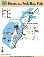
Steamboat Rock State Park Map
Map of park with detail of trails and recreation zones
141 miles away
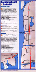
Rockaway Beach Map
141 miles away
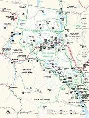
North Cascades National Park map
Official NPS map of North Cascades National Park, Washington. Shows the entire park and...
146 miles away
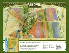
Van Duzer Vineyard Map
"A colorful vineyard map that shows the location of Van Duzer’s numerous grape varietals...
146 miles away
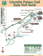
Columbia Plateau Trail State Park North Map
Map of park with detail of trails and recreation zones
146 miles away
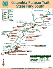
Columbia Plateau Trail State Park South Map
Map of park with detail of trails and recreation zones
146 miles away
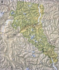
North Cascades National Park Physical Map
National Park
146 miles away
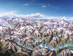
North Cascades National Park Oblique Map
Oblique map looking across Ross Damn, and Diablo Lake towards Seattle
148 miles away
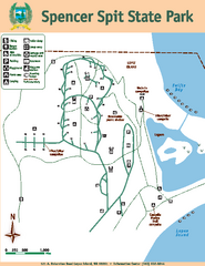
Spencer Spit State Park Map
Map of park with detail of trails and recreation zones
148 miles away
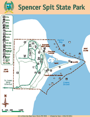
Spencer Spit State Park Map
Map of park with detail of trails and recreation zones
148 miles away
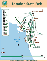
Larrabee State Park Map
Map of island with detail of trails and recreation zones
148 miles away
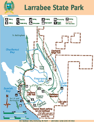
Larrabee State Park Map
Map of island with detail of trails and recreation zones
148 miles away
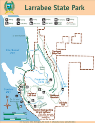
Larrabee State Park Map
Park map of Larrabee State Park, Washington.
149 miles away
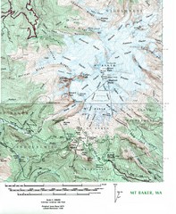
Mt. Baker Topo Map
Topo map of Mt. Baker, Washington, elevation 10,778ft.
150 miles away
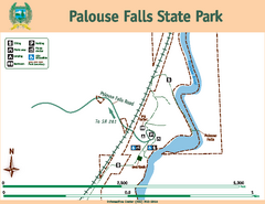
Palouse Falls State Park Map
Map of park with detail of trails and recreation zones
150 miles away

Independence Oregon Road Map
151 miles away
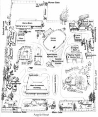
San Juan County Fair Map 2008
Fairgrounds map for the San Juan County Fair, Friday Harbor, Washington
151 miles away
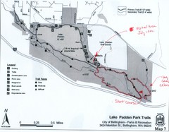
Lake Padden Park Trails Map
Course Elevation Map noted in handwriting on map. Festival location noted as well.
151 miles away
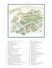
Whitman College Campus Map
Campus map of Whitman College in Walla Walla, WA
151 miles away
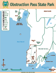
Obstruction Pass State Park Map
Map of park with detail of trails and recreation zones
151 miles away
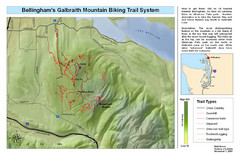
Bellingham Galbraith Mountain Biking Trail Map
Mountain biking trail map of Whatcom Falls Park near Bellingham, WA
152 miles away

