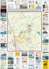
Arlington tourist map
Tourist map of Arlington, Washington. Shows all businesses.
113 miles away

Whidbey Island tourist map
Tourist map of Whidbey Island and Coupeville, Washington. Shows all businesses.
113 miles away

Arlington and Smokey Point tourist map
Tourist map of Arlington and Smokey Point, Washington. Shows all businesses.
114 miles away
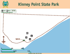
Kinney Point State Park Map
Map of island with detail of trails and recreation zones
115 miles away
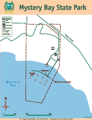
Mystery Bay State Park Map
Map of park with detail of trails and recreation zones
116 miles away
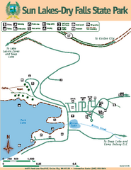
Sun Lakes-Dry Falls State Park Map
Map of park with detail of trails and recreation zones
116 miles away
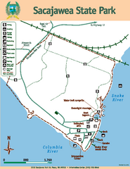
Sacajawea State Park Map
Map of park with detail of trails and recreation zones
116 miles away
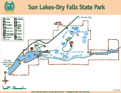
Sun Lakes-Dry Falls State Park Map
Map of park with detail of trails and recreation zones
116 miles away
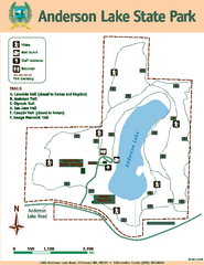
Anderson Lake State Park Map
Map of park and trails
116 miles away
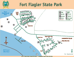
Fort Flagler State Park Map
Map of park with detail of trails and recreation zones
118 miles away
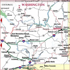
Eastern Washington Road Map
118 miles away
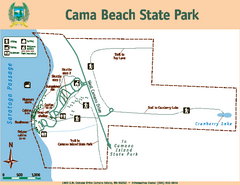
Cama Beach State Park Map
Map of park with detail of trails and recreation zones
119 miles away
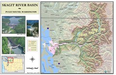
Skagit River Map
Skagit River Basin Overview Map (Pink shading is the FEMA 100 Year Flood)
120 miles away
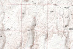
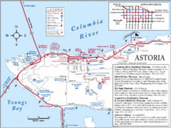
Astoria Oregon Map
A detailed topographic map of Astoria, Oregon and the Columbia River.
121 miles away
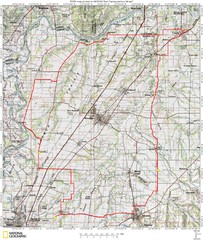
Spring Century Bike Route Map
Oregon Spring Century Ride
122 miles away
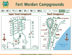
Fort Worden Campgrounds Map
Map of park campgrounds
122 miles away
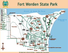
Fort Worden State Park Map
Map of park with detail of trails and recreation zones
122 miles away
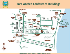
Fort Worden Conference Buildings Map
Map of conference buildings in Fort Worden State Park
122 miles away
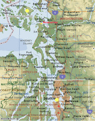
Washington State - West Coast Map
Washington State - West Coast Map
124 miles away

Coupeville tourist map
Tourist map of Coupeville, Washington. Shows all businesses.
125 miles away
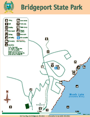
Bridgeport State Park Map
Map of park with detail of trails and recreation zones
125 miles away
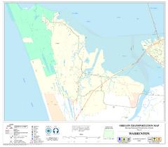
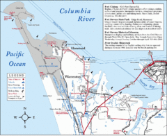
Warrenton Oregon Road Map
125 miles away
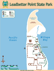
Leadbetter Point State Park Map
Map of park with detail of recreation zones and trails
126 miles away
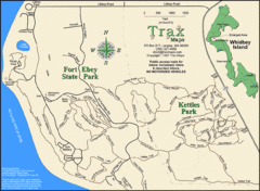
Ft Ebey/Kettle Park Trail Map
Trail map of Fort Ebey Park and Kettle Park, Washington
127 miles away
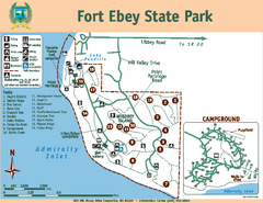
Fort Ebey State Park Map
Map of park with detail of trails and recreation zones
127 miles away
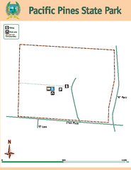
Pacific Pines State Park Map
Map of park with detail of trails and recreation zones
127 miles away
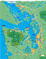
Seattle Ferry Guide Map
Map of ferries around Seattle, Puget Sound and Olympic Peninsula
127 miles away
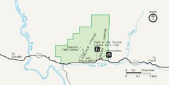
Clarno Unit John Day Fossils Beds National...
128 miles away

Oak Harbor tourist map
Tourist map of Oak Harbor, Washington. Shows all businesses.
129 miles away
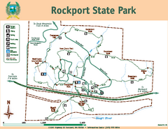
Rockport State Park Map
Map of park with detail of trails and recreation zones
129 miles away
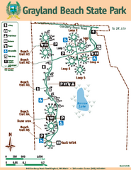
Grayland Beach State Park Map
Map of park with detail of trails and recreation zones
129 miles away
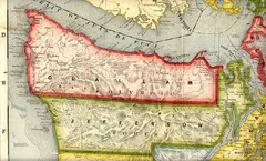
Clallam and Jefferson Counties Washington, 1909...
129 miles away
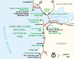
Lewis & Clark National Historic Trail...
Official NPS map of Lewis & Clark National Historic Trail in Oregon-Washington. Shows all areas...
129 miles away
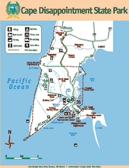
Cape Dissapointment State Park Map
Map of park with detail of trails and recreation zones
129 miles away
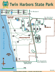
Twin Harbors State Park Map
Map of park with detail of trails and recreation zones
130 miles away
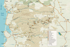
Tillamook State Forest Map
Recreation map of Tillamook State Forest. Over 60 miles of non-motorized trails and 150 miles of...
130 miles away
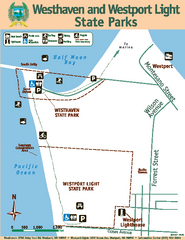
Westhaven/Westport Light State Parks Map
Map of park with detail of trails and recreation zones
131 miles away
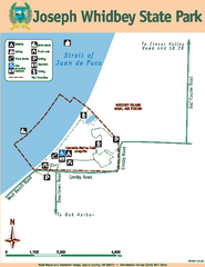
Joseph Whidbey State Park Map
Map of park with detail of trails and recreation zones
131 miles away

