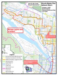
Portland, Oregon Bike Map
99 miles away
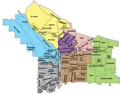
Portland, Oregon Neighborhood Map
99 miles away
Portland, Oregon Tourist Map
99 miles away

Centennial Trail Map
99 miles away
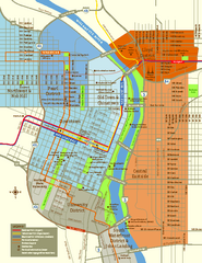
Central Portland, Oregon Map
Tourist map of Portland, Oregon. Shows museums, sports arenas, parks, and public transportation.
99 miles away

Happy Valley Oregon Road Map
99 miles away
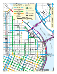
North Downtown Portland Bike Parking Map
Biking map of northern downtown Portland, Oregon. Shows bike paths, parking, and stores.
99 miles away
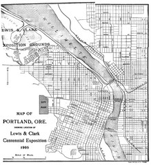
Portland, Oregon Map
Map of Portland, Oregon during centennial exposition of the Lewis & Clark Exploration...
99 miles away
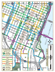
South Downtown Portland Bike Map
Biking map of southern downtown Portland, Oregon. Shows bike paths, bike parking, and bike shops.
99 miles away
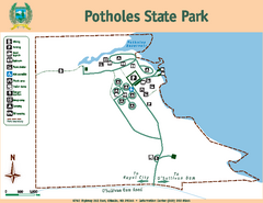
Potholes State Park Map
Map of park with detail of trails and recreation zones
99 miles away
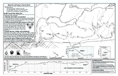
Forest Park Mountain Biking Map
Forest Park now includes over 5,100 wooded acres making it the largest, forested natural area...
99 miles away
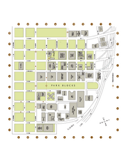
Portland State University Map
Campus Map of Portland State University. All buildings shown.
99 miles away
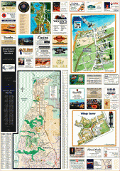
Mukilteo tourist map
Greater Mukilteo, Washington tourist map. Shows all businesses.
100 miles away
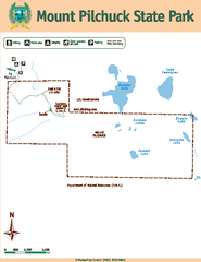
Mount Pilchuck State Park Map
Map of park with detail of trails and recreation zones
100 miles away
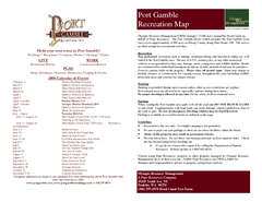
Stottlemeyer trails Map
100 miles away

Centennial Trail Map
Centennial Trail has 23 miles completed (Snohomish to Bryant) with more in progress.
100 miles away
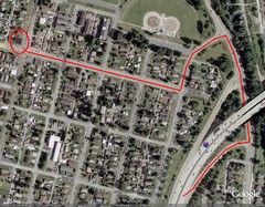
19th and Walnut in Everett, WA Map
100 miles away
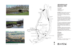
Spencer Island Park map
101 miles away
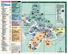
Oregon Zoo Map 2009
101 miles away
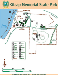
Kitsap Memorial State Park Map
Map of island with detail of trails and recreation zones
101 miles away
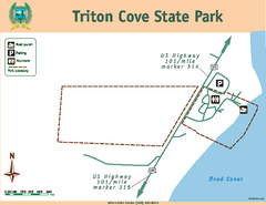
Triton Cove State Park Map
Map of park with detail of trails and recreation zones
101 miles away
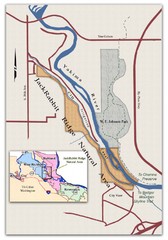
JackRabbit Ridge Natural Area Map
Shows urban wildlands
101 miles away
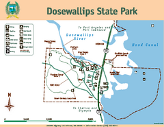
Dosewallips State Park Map
Map of park with detail of trails and recreation zones
102 miles away
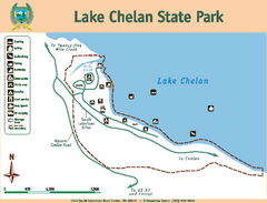
Lake Chelan State Park Map
Map of island with detail of trails and recreation zones
102 miles away
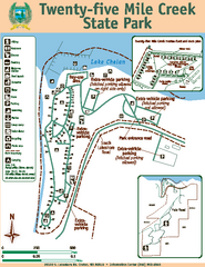
Twenty-Five Mile Creek State Park Map
Map of park with detail of trails and recreation zones
102 miles away
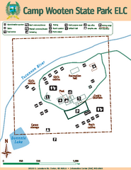
Camp Wooten State Park Map
Map of park with detail of trails and recreation zones
103 miles away
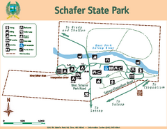
Schafer State Park Map
Map of park with detail of trails and recreation zones
103 miles away

Lake Oswego Oregon Road Map
104 miles away
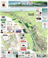
Marysville tourist map
Tourist map of Marysville, Washington. Shows all businesses.
105 miles away
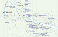
Kennewick Hotel Map
106 miles away

South Whidbey Island tourist map
Tourist map of South Whidbey Island, Washington. Shows all businesses.
106 miles away

Tigard Oregon Road Map
107 miles away
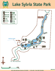
Lake Sylvia State Park Map
Map of island with detail of trails and recreation zones
107 miles away

BANKS-VERNONIA STATE TRAIL Map
108 miles away

South Whidbey tourist map
Tourist map of South Whidbey, Washington. Shows all businesses.
108 miles away

King City Oregon Road Map
109 miles away
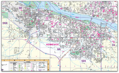
Kennewick, Washington City Map
110 miles away
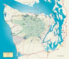
Olympic National Park and Peninsula Map
Guide to the Olympic National Park and surrounding region
110 miles away

City of Kennewick Map
Simple road map of Kennewick.
111 miles away
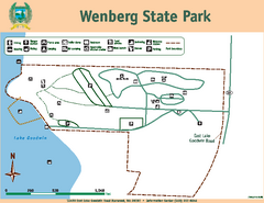
Wenberg State Park Map
Map of park with detail of trails and recreation zones
112 miles away

