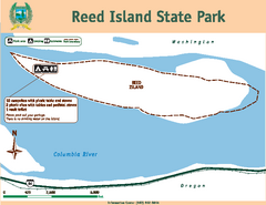
Reed Island State Park Map
Map of park with detail of trails and recreation zones
87 miles away
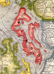
Island County Washington, 1909 Map
87 miles away
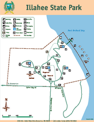
Illahee State Park Map
Map of park with detail of trails and recreation zones
87 miles away
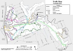
Carkeek Park Trail Map
Trail map of Carkeek Park on the Puget Sound, Seattle, WA. Shows maintained and unmaintained trails.
87 miles away
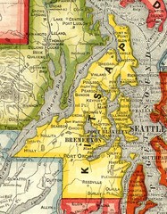
Kitsap County Washington, 1909 Map
88 miles away
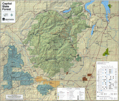
Capitol State Forest Map
Shows all trails in Capitol State Forest and surrounding area, including Lower Chehalis State...
88 miles away
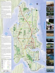
Bainbridge Island Hiking and Biking Map
Shows trails and bike routes on Bainbridge Island, Washington in the Puget Sound. Also shows...
88 miles away
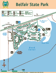
Belfair State Park Map
Map of park, with detail of trails and recreation zones
89 miles away
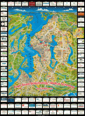
Puget Sound biotech map
Map of Puget Sound area biotechnology companies.
90 miles away
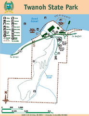
Twanoh State Park Map
Map of park with detail of trails and recreation zones
90 miles away

3-D Panoramic Map of the Puget Sound
A 3D panoramic map of a view from a private residence over Puget Sound toward the Olympic mountains.
90 miles away
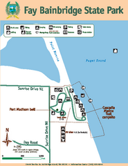
Fay Bainbridge State Park Map
Map of park with detail of trails and recreation zones
91 miles away
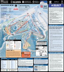
Mt. Hood Meadows Ski Trail Map
Official ski trail map of Mt. Hood Meadows ski area from the 2007-2008 season.
91 miles away
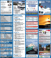
Mt. Hood Meadows Ski Resort Ski Trail Map
Trail map from Mt. Hood Meadows Ski Resort.
91 miles away

Timberline Ski Area Ski Trail Map
Trail map from Timberline Ski Area.
92 miles away
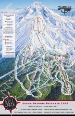
Timberline Ski Trail Map
Official ski trail map of Timberline Lodge ski area from the 2007-2008 season.
92 miles away
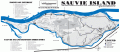
Sauvie Island tourist map
Tourist map of Sauvie Island in Oregon. Shows all businesses and points of interest.
93 miles away
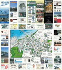
Downtown Edmonds tourist map
Tourist map of Downtown Edmonds, Washington. Shows all businesses.
93 miles away
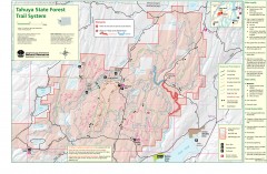
Tahuya State Forest Trail Map
Shows trails of Tahuya State Forest. Show roads, doubletrack, singletrack, and 4WD only.
93 miles away
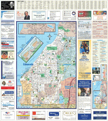
Edmonds tourist map
Tourist map of Edmonds, Washington. Shows all businesses.
93 miles away

Maywood Park Oregon Road Map
94 miles away
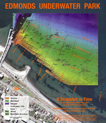
Edmonds Underwater Park Map
Map of underwater park for divers
94 miles away
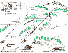
Summit Ski Area Ski Trail Map
Trail map from Summit Ski Area.
94 miles away
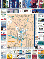
Snohomish tourst map
Tourist map of Snohomish, Washington. Shows all businesses.
94 miles away
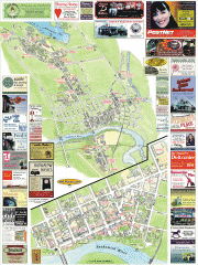
Snohomish tourist map
Snohomish, Washington tourist map. Shows all businesses.
94 miles away

Mt. Hood SkiBowl Ski Trail Map
Trail map from Mt. Hood SkiBowl.
94 miles away
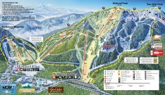
Mt. Hood Skibowl Ski Trail Map
Official ski trail map of ski area from the 2007-2008 season.
95 miles away
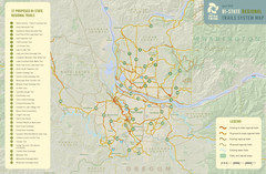
Bi-State Regional Trail System Plan Map
Shows plan for developing 37 Bi-State Regional Trails
96 miles away
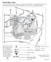
Powell Butte Nature Park Trail Map
Trail map of Powell Butte Nature Park. Shows over 9 miles of trails
96 miles away
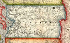
Snohomish County Washington, 1909 Map
97 miles away
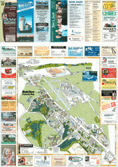
Mukilteo tourist map
Mukilteo, Washington tourist map. Shows all businesses.
97 miles away
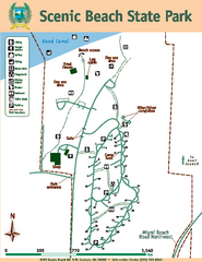
Scenic Beach State Park Map
Map of park with detail of trails and recreation zones
98 miles away
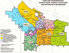
Portland Neighborhood Map
Shows neighborhood associations of Portland, Oregon.
99 miles away
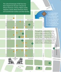
Old Town-China Town Map
Portland's oldest neighborhoods and history are easily seen in Old Town-China Town.
99 miles away
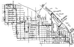
Pearl District Walking Map, Portland Oregon Map
Walk through the Pearl District, along the Willamette River and up to 23rd Street. Detour to the...
99 miles away
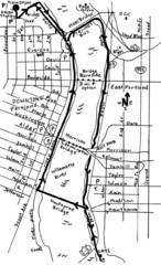
Portland Oregon downtown walk Map
Walk from the Amtrak Station to the Oregon Museum of Science and Industry. 4 miles round trip...
99 miles away
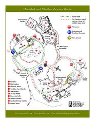
Portland Japanese Garden Map
So Far My favorite Japanese Garden
99 miles away
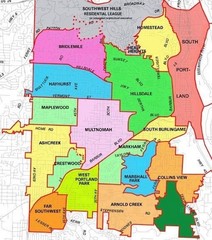
Portland, Oregon Neighborhood Map
99 miles away
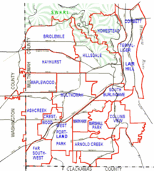
Portland, Oregon Neighborhood Map
99 miles away


