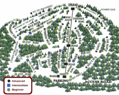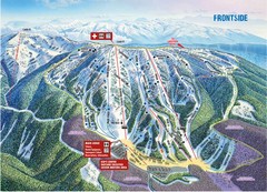
Brundage Mountain Resort Frontside Ski Trail Map
Trail map from Brundage Mountain Resort, which provides downhill and terrain park skiing. It has 5...
276 miles away
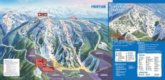
Brundage Ski Trail Map
Official ski trail map of Brundage ski area from the 2007-2008 season.
277 miles away
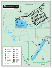
Birkenhead Lake Provincial Park Map
Park map of Birkenhead Lake Provincial Park, BC. Inset of campground
277 miles away
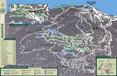
Sovereign Lake Nordic Ski Trail Map
Trail map from Sovereign Lake, which provides night and nordic skiing. This ski area has its own...
278 miles away
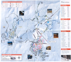
Sovereign Lake Ski Trail Map
Trail map from Sovereign Lake, which provides night and nordic skiing. This ski area has its own...
278 miles away
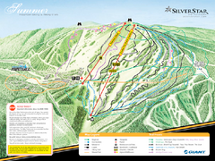
Silver Star Mountain Resort Summer Ski Trail Map
Trail map from Silver Star Mountain Resort.
279 miles away
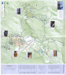
Silver Star Mountain Resort Nordic Ski Trail Map
Trail map from Silver Star Mountain Resort.
279 miles away
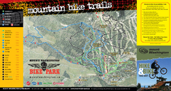
Mt. Washington Resort Summer Mountain Biking Ski...
Trail map from Mt. Washington Resort, which provides downhill and nordic skiing.
280 miles away
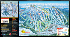
Mt. Washington Resort Ski Trail Map
Trail map from Mt. Washington Resort, which provides downhill and nordic skiing.
280 miles away
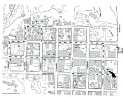
Myrtle Point walking tour Map
Walking tour map of the Historic homes of Myrtle Point in the Coquille Valley of Oregon.
282 miles away
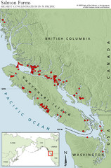
BC Salmon Farms Map
Shows fishfarms in BC around Vancouver Island, highest concentration of fish farms in North Pacific
283 miles away
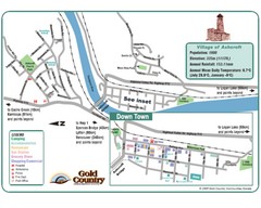
Ashcroft Map
Map of Ashcroft, includes all streets, highways, accommodations and attractions.
283 miles away
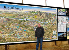
Kamloops tourist info map by Jean-Louis Rheault
Tourist map of Kamloops, British Columbia. Photo of 20 foot sign with the cartographer, Jean-Louis...
283 miles away
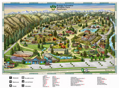
British Columbia Wildlife Park Visitor Map
Wildlife Visitor Park Map. Full color with illustrations.
284 miles away
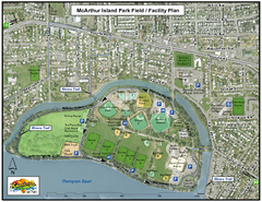
MacArthur Island Park Map
Park map of MacArthur Island Park in the Thompson River in Kamloops, BC. Shows Rivers Trail...
285 miles away
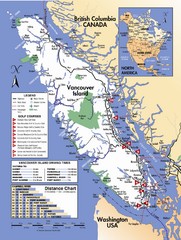
Vancouver Island Road Map
287 miles away
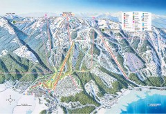
Tamarack Ski Trail Map
Official ski trail map of Tamarack ski area from the 2007-2008 season.
288 miles away
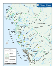
Flores Island Provincial Park Area Map
Park map of area around Flores Island Provincial Park, BC in the Clayoquot Sound. Flores Island is...
288 miles away
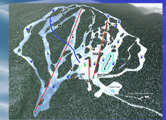
2004–09 Harper Mountain Map
Trail map from Harper Mountain, which provides downhill and nordic skiing. This ski area has its...
288 miles away
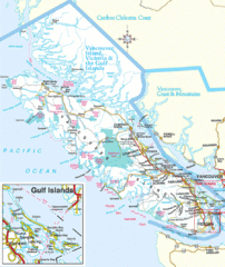
Vancouver Island Park Map
Parks and roads on Vancouver Island.
288 miles away
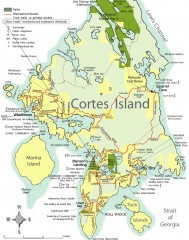
Cortes Island tourist map
Tourist map of Cortes Island in British Columbia, Canada. Shows businesses and roads.
288 miles away
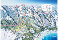
Tamarack Resort Ski Trail Map
Trail map from Tamarack Resort, which provides downhill, nordic, and terrain park skiing. It has 7...
289 miles away
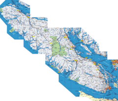
Vancouver Island Map
Detailed map of Vancouver Island, British Columbia. Shows towns, roads, and parks.
290 miles away
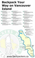
Vancouver Island Backpacking Map
Shows hostels on Vancouver Island, BC
290 miles away
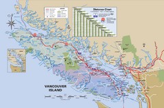
Vancouver Island Map
290 miles away
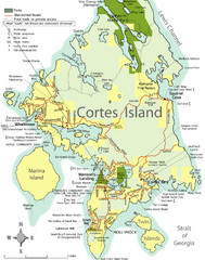
Cortes Island Tourist Map
Places of interest.
292 miles away
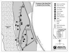
Thompson Falls State Park Map
This shaded, quiet campground is located on the Clark Fork River near the town of Thompson Falls in...
292 miles away
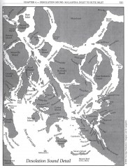
Desolation Sound Detail Map
Shows general geography of Desolation Sound from Malaspina Inlet to Bute Inlet. Shows Cortes Bay...
298 miles away
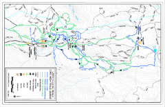
Larch Hills Nordics Core Ski Trail Map
Trail map from Larch Hills Nordics, which provides night and nordic skiing. This ski area has its...
300 miles away
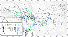
Larch Hills Nordics All Ski Trail Map
Trail map from Larch Hills Nordics, which provides night and nordic skiing. This ski area has its...
300 miles away
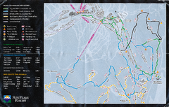
Sun Peaks Resort Nordic Ski Trail Map
Trail map from Sun Peaks Resort, which provides downhill, nordic, and terrain park skiing. This ski...
302 miles away
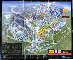
Sun Peaks Resort Ski Trail Map
Trail map from Sun Peaks Resort, which provides downhill, nordic, and terrain park skiing. This ski...
302 miles away
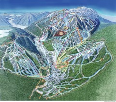
Sun Peaks Ski Trail Map
Official ski trail map of Sun Peaks ski area from the 2006-2007 season.
303 miles away
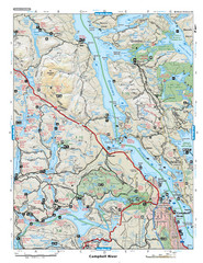
Campbell River Area Map
Vancouver Island, Victoria & Gulf Islands
303 miles away

BTS Route Map
Map of BTS bus routes throughout Klamath Falls
305 miles away
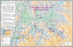
Oregon Rogue Valley wineries Map
Southern Oregon's Rogue Valley wineries
306 miles away

Bear Creek Greenway Map
Trail map of the Bear Creek Greenway connecting Central Point to Ashland, Oregon. Will eventually...
307 miles away
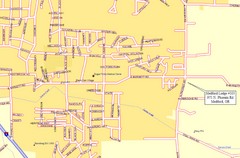
Medford, Oregon City Map
307 miles away

Steens Mountain Topo Map
Topography map of the east side of Steens mountain in Oregon.
307 miles away

