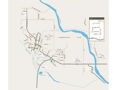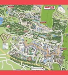
Whistler Village Map
251 miles away
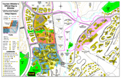
Whistler Village Map
251 miles away
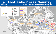
Whistler Cross Country Connection Snowshoeing Ski...
Trail map from Whistler Cross Country Connection.
251 miles away
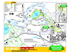
Whistler Cross Country Connection 2006–07...
Trail map from Whistler Cross Country Connection.
251 miles away
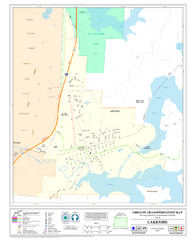
Lakeside Oregon Road Map
252 miles away
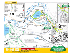
Lost Lake, Whistler Hiking and Biking Trail Map
252 miles away
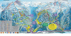
Trail Map Whistler Blackcomb
Map of all trails and ski runs at Whistler and Blackcomb mountains. Includes detailed information...
252 miles away

Sandpoint City Map
Street map of downtown Sandpoint
253 miles away
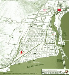
Map of Sandpoint, Idaho
Map of the entire town of Sandpoint including all streets, highways and other information.
253 miles away
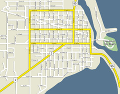
Sandpoint City Beach Map
Downtown Sandpoint Map.
253 miles away

Schweitzer Mountain Trail Map
Map of ski trails
253 miles away
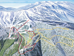
Schweitzer Mountain Trail Map
Ski trail map of Schweitzer Mountin
253 miles away
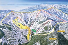
Schweitzer Ski Trail Map - Front
Official ski trail map of front side of Schweitzer ski area from the 2007-2008 season.
254 miles away
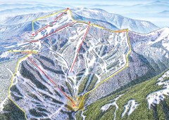
Schweitzer Ski Trail Map - Outback Bowl
Official ski trail map of back side of Schweitzer ski area from the 2007-2008 season.
254 miles away
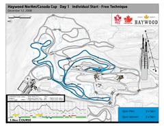
Whistler Olympic Park (Callaghan Nordic Centre...
Trail map from Whistler Olympic Park (Callaghan Nordic Centre), which provides night and nordic...
255 miles away
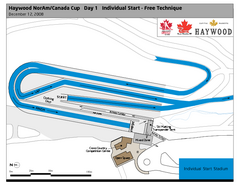
Whistler Olympic Park (Callaghan Nordic Centre...
Trail map from Whistler Olympic Park (Callaghan Nordic Centre), which provides night and nordic...
255 miles away
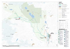
Callaghan Country Nordic Ski Trail Map
Trail map from Callaghan Country, which provides nordic skiing. This ski area opened in 1998, and...
255 miles away
Silver Mountain Resort Ski Trail Map
Trail map from Silver Mountain Resort, which provides downhill, night, and terrain park skiing. It...
255 miles away
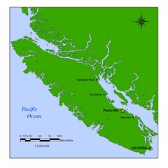
Vancouver Island Overview Map
Town of Parksville highlighted.
257 miles away
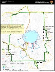
Crater Lake National Park Map
258 miles away
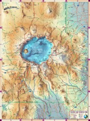
Crater Lake National Park map
Great map of Crater Lake National Park shows all trails, viewpoints, mountains, roads, campgrounds...
258 miles away
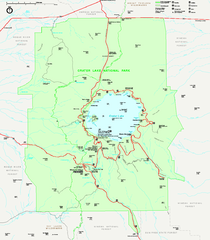
Crater Lake National Park official map
Official map of Crater Lake National Park. Shows hiking trails, elevations of peaks, roads, and...
258 miles away
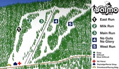
Salmo Ski Area Ski Trail Map
Trail map from Salmo Ski Area, which provides downhill skiing. This ski area has its own website.
259 miles away
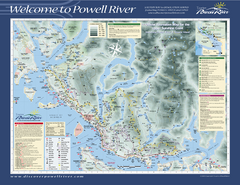
Upper Sunshine Coast Recreation Map
Recreation map of Upper Sunshine Coast in BC. Shows hiking trails, kayaking and canoeing routes...
265 miles away
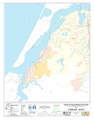
West Coos Bay Oregon Road Map
265 miles away
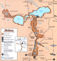
Malheur National Wildlife Refuge Map
Detailed Map of the Malheur Wildlife Refuge in Oregon showing places of interest, roads and...
266 miles away
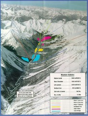
Cayoosh Resort (Melvin Creek) Ski Trail Map
Trail map from Cayoosh Resort (Melvin Creek), which provides downhill skiing.
270 miles away
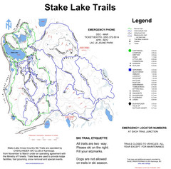
Stake Lake Nordic Ski Trail Map
Trail map from Stake Lake.
271 miles away
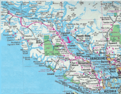
Vancouver Island Road Map
271 miles away
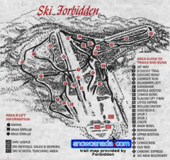
Pre-1999 Forbidden Plateau Map #2
Trail map from Forbidden Plateau.
272 miles away
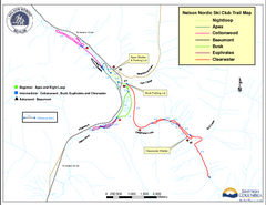
Nelson Nordic Ski Trail Map
Trail map from Nelson Nordic, which provides night and nordic skiing. This ski area has its own...
272 miles away
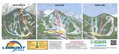
Lookout Pass Ski Trail Map
Official ski trail map of Lookout Pass ski area from the 2007-2008 season. Shows Montana, Idaho...
274 miles away
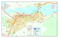
Nelson BC Town Map
274 miles away

Alpine Mountain Trail Map
Ski trails on Alpine Mountain
275 miles away
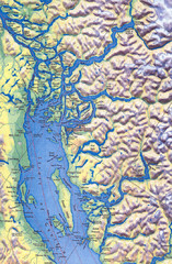
Northern Gulf Map
Map of Northern Gulf Islands
275 miles away
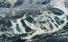
Whitewater Ski Resort Silver King Ski Trail Map
Trail map from Whitewater Ski Resort.
276 miles away
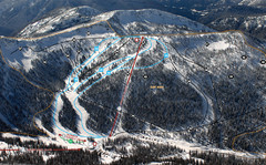
Whitewater Ski Resort Summit Ski Trail Map
Trail map from Whitewater Ski Resort.
276 miles away
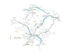
Pemberton Valley Area Parks Map
Area parks map of Pemberton Valley area in BC. Shows peaks and lakes.
276 miles away
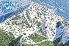
Brundage Mountain Resort Lakeview Bowl Ski Trail...
Trail map from Brundage Mountain Resort, which provides downhill and terrain park skiing. It has 5...
276 miles away

