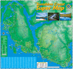
Sunshine Coast Super Map
Sunshine Coast Super Map Poster. 44" X 42". Also Available in folded version.
229 miles away
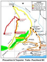
Peachland Walks Map
Guide to Pincushion and Trepanier Trails in Peachland, BC
231 miles away
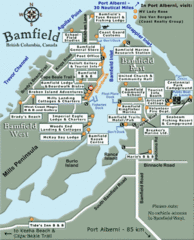
Bamfield Tourist Map
231 miles away
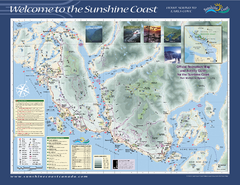
Lower Sunshine Coast Recreation Map
Recreation map of the Lower Sunshine Coast in BC. Shows hiking trails, mountain biking trails...
232 miles away
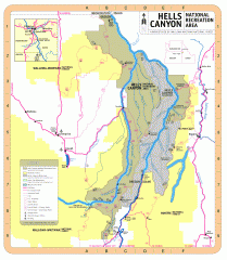
Hells Canyon National Recreation Area Map
Official Forest Service map of the Hells Canyon National Recreation Area. Shows roads, trails...
232 miles away
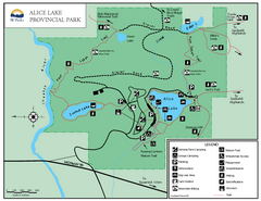
Alice Lake Provincal Park Map
232 miles away
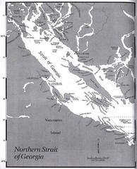
Northern Strait of Georgia Map
232 miles away
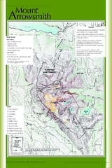
Mount Arrowsmith Climbing Route Map
Climbing routes on Mount Arrowsmith, Vancouver Island
233 miles away
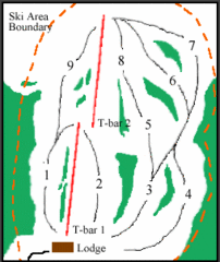
Mount Arrowsmith (Upper) Ski Trail Map
Trail map from Mount Arrowsmith (Upper).
233 miles away
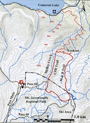
Mt. Arrowsmith Park CPR Historic Trail Map
Trail map of Mt. Arrowsmith Regional Park CPR Historic Trail, Vancouver Island
235 miles away
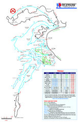
Telemark Cross Country Ski Trail Map
Trail map from Telemark Cross Country, which provides nordic skiing. This ski area has its own...
236 miles away

Red Mountain Trail Map
Ski trail map
236 miles away
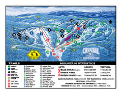
Crystal Mountain Resort Ski Trail Map
Trail map from Crystal Mountain Resort, which provides downhill skiing. This ski area has its own...
238 miles away

Red Mountain Ski Trail Map
Trail map from Red Mountain.
238 miles away
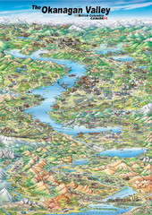
Pictorial map of the Okanagan Valley
238 miles away

2006–08 Black Jack Nordic Map
Trail map from Black Jack.
238 miles away
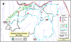
Paulson X-C (Castlegar Nordic) Ski Trail Map
Trail map from Paulson X-C (Castlegar Nordic), which provides nordic skiing. This ski area has its...
239 miles away
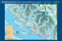
Sunshine Coast Recreation Map
Recreation map of the Sunshine Coast in BC. Shows trails for hiking (in yellow) and mountain...
240 miles away
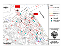
City of Trail Downtown Parking Map
Parking map of downtown Trail, British Columbia
241 miles away
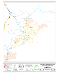
Oakland Oregon Road Map
241 miles away

City of Trail BC Map
Map of city of Trail, BC on the Columbia River
241 miles away
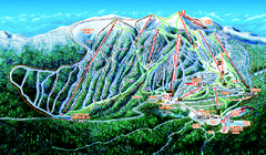
Big White Ski Resort Ski Trail Map
Trail map from Big White Ski Resort, which provides downhill, night, nordic, and terrain park...
242 miles away
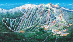
Big White Ski Trail Map
Official ski trail map of Big White ski area from the 2007-2008 season.
242 miles away
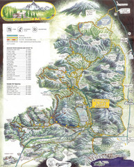
Diamond Lake Tourist Map
243 miles away
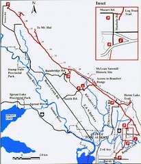
Log Train Trail Map
Trail map of the Log Train Trail near Port Alberni, Vancouver Island
244 miles away
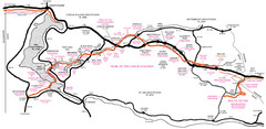
Trail of the Coeur d'Alenes Map
Shows the Trail of the Coeur d'Alenes, a 72 mile bike path that follows the Union Pacific...
245 miles away
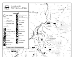
Garibaldi Provincial Park Map
Park map of Garibaldi Provincial Park, BC. 2 pages.
248 miles away
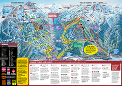
Whistler Blackcomb Trail map 2010-2011
Official ski trail map Whistler Blackcomb for the 2010-2011 season.
249 miles away
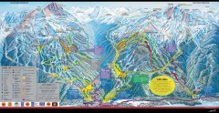
Whistler Blackcomb Ski Trail map 2005-06
Official ski trail map of the Whistler Blackcomb ski area from the 2005-2006 season. Site of the...
249 miles away
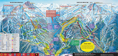
Whistler Blackcomb Ski Trail Map 2007-2008
Official ski trail map of the Whistler Blackcomb ski area from the 2007-2008 season. Site of Alpine...
249 miles away
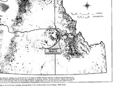
Map of Wolverine Sightings: 1886 -- 1998
250 miles away

Creekside Map
Tourist map of Creekside Village
250 miles away
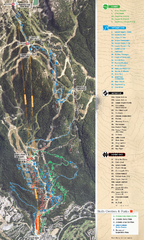
Whistler Blackcomb (Garibaldi Lift Co.) Biking...
Trail map from Whistler Blackcomb (Garibaldi Lift Co.), which provides downhill, night, and terrain...
251 miles away
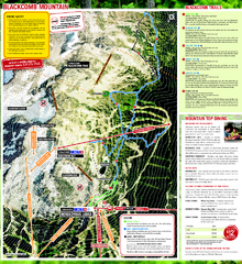
Whistler Blackcomb (Garibaldi Lift Co.) Hiking...
Trail map from Whistler Blackcomb (Garibaldi Lift Co.), which provides downhill, night, and terrain...
251 miles away
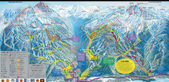
Whistler Blackcomb Ski Resort Map
Ski runs, lifts and amenities on the resort map
251 miles away
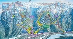
Whistler Blackcomb Trail Map
251 miles away
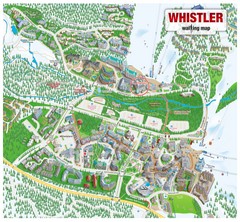
Whistler Village Map
251 miles away
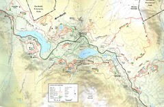
Whistler, CA Hiking and Biking Trails Map
251 miles away


