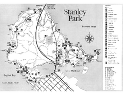
Stanley Park Trail Map
Trail map of Stanley Park near downtown Vancouver, BC. Shows monuments.
201 miles away
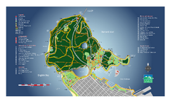
Stanley Park Map
Overview trail map of Stanley Park in Vancouver, BC.
201 miles away
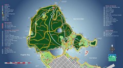
Stanley Park Map
201 miles away
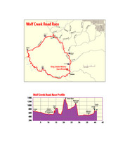
Wolf Creek Road Race Route and Route Elevation Map
Route map and elevation of Wolf Creek bike Race
202 miles away
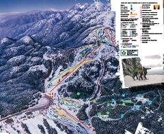
Mount Seymour Ski Trail Map
Trail map from Mount Seymour, which provides downhill, night, and terrain park skiing. It has 5...
202 miles away
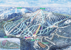
Apex Mountain Ski Trail Map
Official ski trail map of Apex Mountain ski area
202 miles away
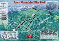
Apex Mountain Resort Biking Ski Trail Map
Trail map from Apex Mountain Resort, which provides downhill and terrain park skiing. It has 5...
202 miles away
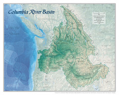
Columbia River Basin Map
203 miles away
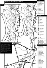
Capilano River Park Trail Map
Trail map of Capilano River Regional Park near Vancouver, BC
204 miles away
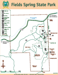
Fields Spring State Park Map
Map of park with detail of trails and recreation zones
205 miles away

Kettle Valley Trails Map
Map of Kettle Valley Trails. Includes all trails, streets, and attractions.
205 miles away
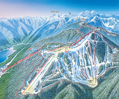
Grouse Mountain Ski Trail Map
Trail map from Grouse Mountain, which provides downhill, night, and terrain park skiing. It has 5...
205 miles away
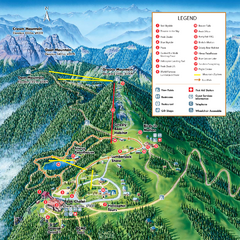
Grouse Mountain Summer Trail Map
Summer trail map of Grouse Mountain Resort near Vancouver, BC.
205 miles away
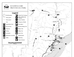
Golden Ears Provincial Park Map
Park map of Golden Ears Provincial Park, BC. 2 pages.
208 miles away
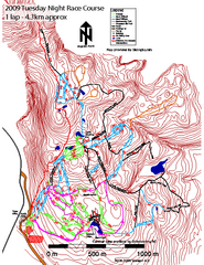
Cypress Mountain Tuesday Night Race Course Ski...
Trail map from Cypress Mountain, which provides downhill, night, nordic, and terrain park skiing...
208 miles away
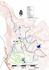
Cypress Mountain Nordic (Skiingbc.info Topo...
Trail map from Cypress Mountain, which provides downhill, night, nordic, and terrain park skiing...
208 miles away
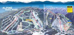
Cypress Mountain Ski Trail Map
Official ski trail map of Cypress Mountain ski area from the 2007-2008 season. Official freestyle...
209 miles away
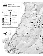
Cypress Provincial Park Map
Park map of Cypress Provincial Park, BC. Home of the North Shore Mountains. 2 pages.
209 miles away
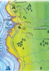
Cape Perpetua Map
210 miles away
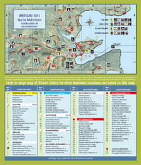
Bownen Island Tourist Map
210 miles away

Bowen Island 3D Aerial Map
3d aerial map of Bowen Island, BC
210 miles away
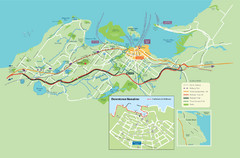
Nanaimo City Map
Map of Nanaimo, BC. Shows trails and parks.
211 miles away
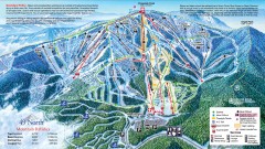
49 Degrees North Ski Trail Map
Official ski trail map of ski area from the 2007-2008 season.
212 miles away
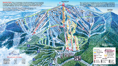
49 North Mountain Resort Ski Trail Map
Trail map from 49 North Mountain Resort, which provides downhill, night, nordic, and terrain park...
213 miles away
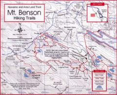
Mt. Benson Hiking Trail Map
Show hiking trails in the Nanaimo and Area Land Trust containing Mt. Benson. Also shows roads and...
214 miles away
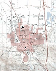
Baker City, Oregeon Tourist Map
215 miles away

Phoenix Mountain Ski Trail Map
Trail map from Phoenix Mountain.
215 miles away
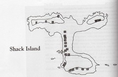
Shack Island Map
Illustration taken from the book "Shack Island" by Ruth English Matson. 2004.
215 miles away
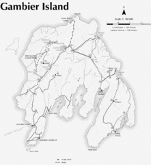
Gambier Island Trail Map
Trail map of Gambier Island, BC. See site for trail descriptions and details.
218 miles away
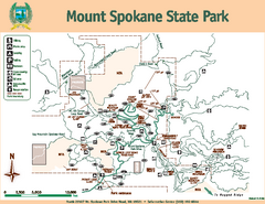
Mount Spokane State Park Map
Map of park with detail of trails and recreation zones
219 miles away
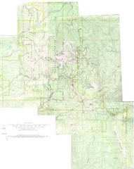
Mount Spokane Trail Map
Contour map of Mount Spokane
219 miles away
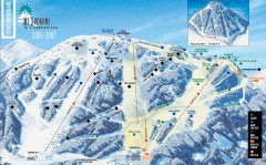
Mt. Spokane Ski Trail Map
Official ski trail map of Mount Spokane ski area from the 2006-2007 season.
220 miles away
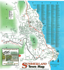
Summerland Town Map
Map of Summerland with details on outdoor-recreation locations and streets
220 miles away
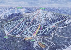
Apex Mountain Ski Resort Map
Apex Mountain Trail Map, Lifts and Elevations
221 miles away
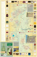
Oregon Winery Map / Local Side
221 miles away
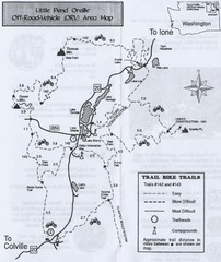
Little Pend Oreille Off Road Vehicle (ORV) Area...
Map of the Off Road Vehicle Area in Little Pend Oreille, Washington. Includes all bike trails...
222 miles away
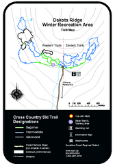
Dakota Ridge Ski Trail Map
Trail map from Dakota Ridge, which provides nordic skiing. This ski area has its own website.
223 miles away
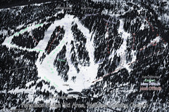
Ferguson Ridge Ski Trail Map
Trail map from Ferguson Ridge.
226 miles away
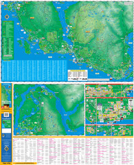
Folded Sunshine Coast Super Map
Folded Sunshine Coast Super Map
227 miles away

