Tourist map of Downtown Des Moines, Washington
Tourist map of Downtown Des Moines, Washington. Shows all businesses.
131 miles away

Des Moines Washington tourist map
Tourist map of Des Moines, Washington, including Kent and SeaTac airport.
131 miles away
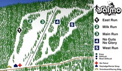
Salmo Ski Area Ski Trail Map
Trail map from Salmo Ski Area, which provides downhill skiing. This ski area has its own website.
131 miles away
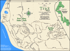
Ft Ebey/Kettle Park Trail Map
Trail map of Fort Ebey Park and Kettle Park, Washington
131 miles away

3-D Panoramic Map of the Puget Sound
A 3D panoramic map of a view from a private residence over Puget Sound toward the Olympic mountains.
131 miles away
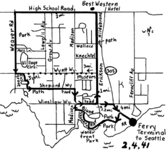
Bainbridge Walking Map
From Seattle Ferry Terminal, take the Bainbridge Ferry to Winslow. The walk is 4 miles with...
132 miles away
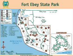
Fort Ebey State Park Map
Map of park with detail of trails and recreation zones
132 miles away
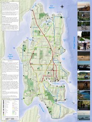
Bainbridge Island Hiking and Biking Map
Shows trails and bike routes on Bainbridge Island, Washington in the Puget Sound. Also shows...
132 miles away
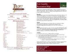
Stottlemeyer trails Map
132 miles away
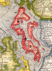
Island County Washington, 1909 Map
132 miles away
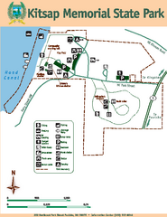
Kitsap Memorial State Park Map
Map of island with detail of trails and recreation zones
133 miles away
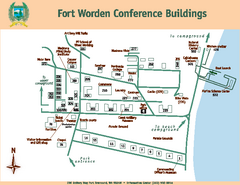
Fort Worden Conference Buildings Map
Map of conference buildings in Fort Worden State Park
133 miles away
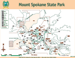
Mount Spokane State Park Map
Map of park with detail of trails and recreation zones
133 miles away
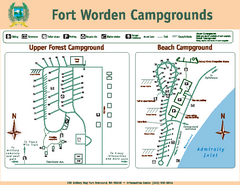
Fort Worden Campgrounds Map
Map of park campgrounds
133 miles away
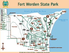
Fort Worden State Park Map
Map of park with detail of trails and recreation zones
133 miles away
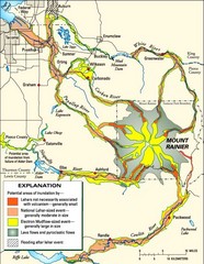
Mount Rainier Potential Lava Flow, Mud Flow and...
Hazard zones for lahars, lava flows, and pyroclastic flows from Mount Rainier. The map shows areas...
133 miles away
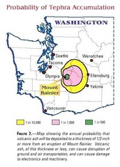
Mount Rainier Probability of Tephra (Ash...
133 miles away
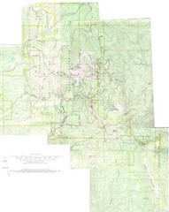
Mount Spokane Trail Map
Contour map of Mount Spokane
133 miles away
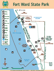
Fort Ward State Park Map
Map of park with detail of trails and recreation zones
133 miles away
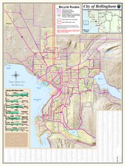
Bellingham, Washington City Map
133 miles away
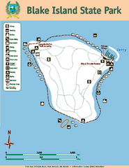
Blake Island State Park Map
Map of park with detail of trails and recreation zones
133 miles away
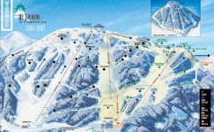
Mt. Spokane Ski Trail Map
Official ski trail map of Mount Spokane ski area from the 2006-2007 season.
133 miles away
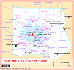
Mount Rainier National Park Vicinity Map
134 miles away
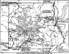
1928 Mount Rainier National Park Map
Guide to Mount Rainier National Park in 1938
134 miles away
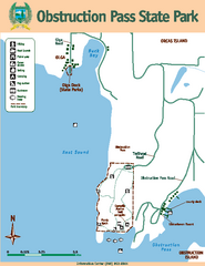
Obstruction Pass State Park Map
Map of park with detail of trails and recreation zones
134 miles away
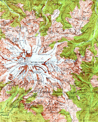
Mount Rainier Topographic Map
Guide to topography and glaciers of Mount Rainier
135 miles away
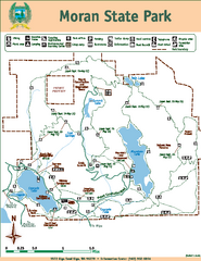
Moran State Park Map
Map of park with detail of trails and recreation zones
135 miles away
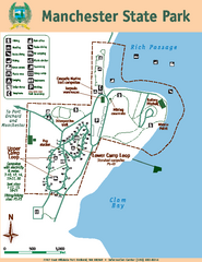
Manchester State Park Map
Map of park with detail of trails and recreation zones
135 miles away
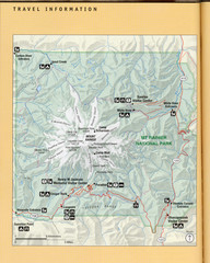
Mount Rainier National Park Map
Guide to the Mount Rainier National Park
135 miles away
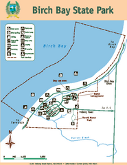
Birch Bay State Park Map
Map of park with detail of trails and recreation zones
136 miles away
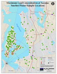
Tacoma Lead Concentration Map
A map of maximum lead concentrations near Tacoma.
136 miles away
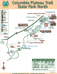
Columbia Plateau Trail State Park North Map
Map of park with detail of trails and recreation zones
136 miles away
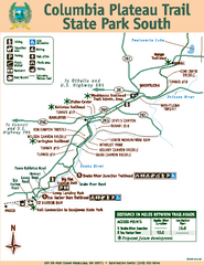
Columbia Plateau Trail State Park South Map
Map of park with detail of trails and recreation zones
136 miles away
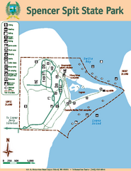
Spencer Spit State Park Map
Map of park with detail of trails and recreation zones
136 miles away
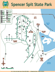
Spencer Spit State Park Map
Map of park with detail of trails and recreation zones
136 miles away
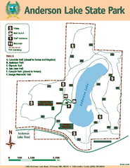
Anderson Lake State Park Map
Map of park and trails
136 miles away
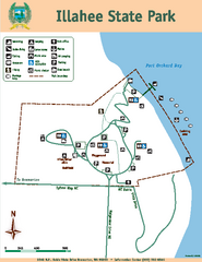
Illahee State Park Map
Map of park with detail of trails and recreation zones
136 miles away
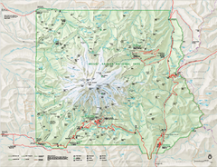
Mount Rainier National Park map
Official NPS map of Mt. Rainier National Park. Shows the entire park and surroundings
136 miles away
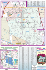
Milton and Edgewood tourist map
Tourist map of Milton and Edgewood, Washington. Shows all businesses.
136 miles away

