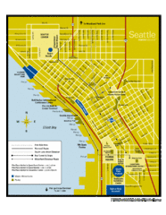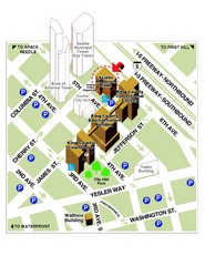
Municipal Court of Seattle Location Map
125 miles away
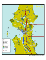
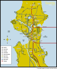
Neighborhoods of Seattle, Washington Map
Tourist map of Seattle, Washington, showing neighborhoods, parks, and scenic drives.
125 miles away
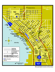
Downtown Seattle, Washington Map
Tourist map of downtown Seattle, Washington. Shows locations of Space Needle, Experience Music...
125 miles away
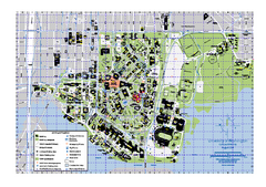
University of Washington - Seattle Campus Map
Campus Map of the University of Washington - Seattle Campus. All buildings shown.
125 miles away

Seattle Shopping map for Lucky Magazine
Illustrated map of Seattle shopping locations illustrated by MapsIllustrated for Lucky Magazine(NYC)
125 miles away
Seattle, Washington City Map
125 miles away
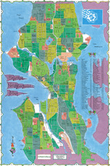
Seattle Neighborhood Map
125 miles away
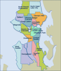
Seattle Neighborhood Map
125 miles away
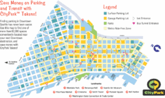
Seattle City Parks Map
125 miles away
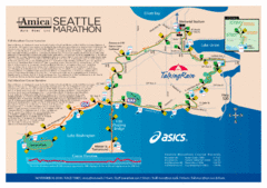
Seattle Marathon Map
Full Map of the Seattle Marathon with run details and location.
125 miles away
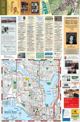
Queen Anne tourist map
Tourist map of Queen Anne, Washington. shows all businesses.
125 miles away
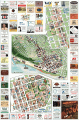
Queen Anne tourist map
Tourist map of Queen Anne, Washington. Shows all businesses.
125 miles away
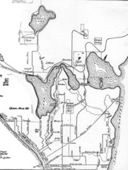
Seattle Historic Bike Paths Map
Historic bike paths in Seattle
125 miles away
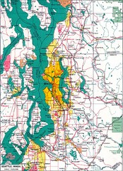
Seattle Region Map
125 miles away
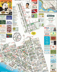
Ballard tourist map
Tourist map of Ballard, Washington. Shows all businesses.
125 miles away
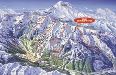
Crystal Mountain Ski Trail Map
Official ski trail map of Crystal Mountain ski area from the 2007-2008 season. 2600 acres of...
125 miles away
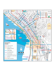
Downtown Seattle Bikeways Map
Map of bike paths, bike lanes, public transportation and points of interest in Seattle, Washington.
125 miles away
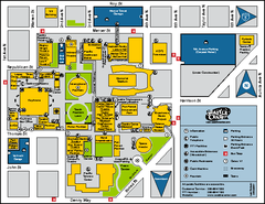
Seattle City Center, Washington Map
Map of points of interest in Seattle Center. KeyArena, the Space Needle, theaters, parking and...
125 miles away
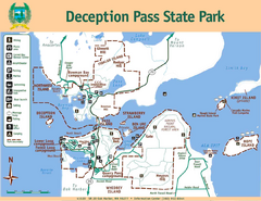
Deception Pass State Park Map
Map of park with detail of trails and recreation zones
125 miles away
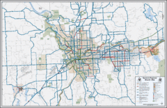
Spokane, Washington Bike Map
126 miles away
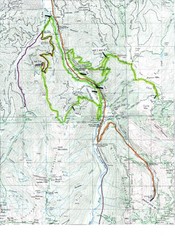
White River 50 Course Map
White River 50 Mile Trail Run
126 miles away
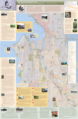
Duwamish River Community Map
This is a printed map, 32" X 40", created for the Duwamish River Cleanup Coalition in...
126 miles away
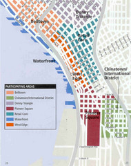
Seattle Neighborhoods Map
Map outlines several neighborhoods in Seattle, Wahsington
126 miles away

Oak Harbor tourist map
Tourist map of Oak Harbor, Washington. Shows all businesses.
126 miles away
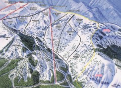
Crystal Mountain Ski Trail Map - Northway Area
Official ski trail map of the Northway area of Crystal Mountain ski area from the 2007-2008 season...
126 miles away
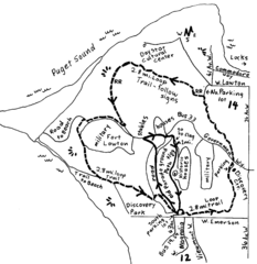
Discovery Park Walking Map Seattle Map
You can walk the Historic Parade Grounds in Fort Lawton (1.5 miles) and/or the 2.8 mile Trail Loop...
126 miles away
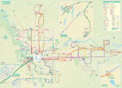
Spokane Guide Map
Roads and areas in and around Spokane, Washington
126 miles away

Magnolia tourist map
Tourist map of Magnolia, Washington. Shows all businesses.
127 miles away
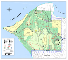
Discovery Park trail map
Trail and facility map of Discovery Park. Discovery Park is a 534 acre natural area park operated...
127 miles away

Yakima, Washington City Map
127 miles away
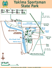
Yakima Sportsman State Park Map
Map of park with detail of trails and recreation zones
127 miles away

Coupeville tourist map
Tourist map of Coupeville, Washington. Shows all businesses.
128 miles away
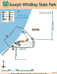
Joseph Whidbey State Park Map
Map of park with detail of trails and recreation zones
129 miles away
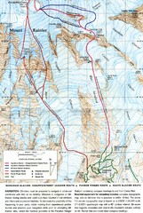
Mount Rainier Topo Map
Map of Mount Rainier Ascent. We ascended the "Muir Snowfield" and then went up the "...
129 miles away
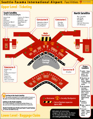
SeaTac Airport Map
129 miles away
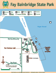
Fay Bainbridge State Park Map
Map of park with detail of trails and recreation zones
129 miles away
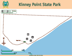
Kinney Point State Park Map
Map of island with detail of trails and recreation zones
130 miles away
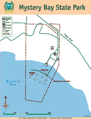
Mystery Bay State Park Map
Map of park with detail of trails and recreation zones
130 miles away
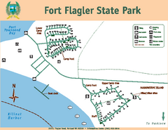
Fort Flagler State Park Map
Map of park with detail of trails and recreation zones
130 miles away

