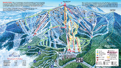
49 North Mountain Resort Ski Trail Map
Trail map from 49 North Mountain Resort, which provides downhill, night, nordic, and terrain park...
108 miles away
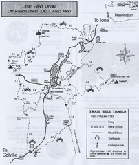
Little Pend Oreille Off Road Vehicle (ORV) Area...
Map of the Off Road Vehicle Area in Little Pend Oreille, Washington. Includes all bike trails...
108 miles away
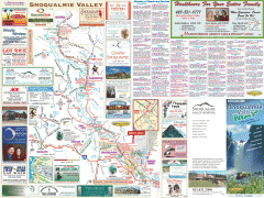
Snoqualmie Valley tourist map
Tourist map of the Snoqualmie Valley, Washington. Shows all businesses.
109 miles away
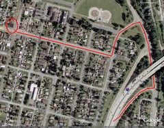
19th and Walnut in Everett, WA Map
109 miles away
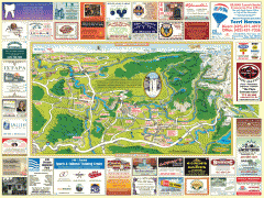
Snoqualmie tourist map
Snoqualmie, Washington tourist map. Shows all businesses.
110 miles away

Skagit County Washington, 1909 Map
111 miles away
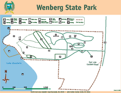
Wenberg State Park Map
Map of park with detail of trails and recreation zones
111 miles away
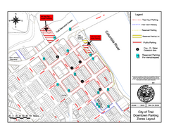
City of Trail Downtown Parking Map
Parking map of downtown Trail, British Columbia
111 miles away
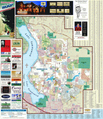
Sammamish tourist map
Tourist map of Sammamish, Washington. Shows all businesses.
112 miles away
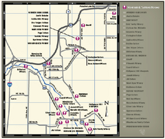
Woodinville Wine Country Map
Map of wineries in the Woodinville, WA area
112 miles away

City of Trail BC Map
Map of city of Trail, BC on the Columbia River
112 miles away

Woodinville tourist map
Tourist map of Woodinville, Washington. Shows all businesses.
112 miles away
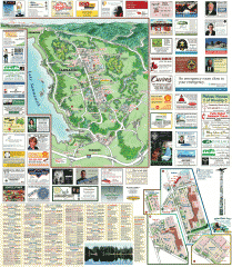
Sammamish tourist map
Sammamish, Washington tourist map. Shows all businesses.
113 miles away

Shadowrun Redmond Map
113 miles away
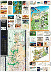
Mukilteo tourist map
Greater Mukilteo, Washington tourist map. Shows all businesses.
113 miles away
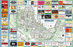
Redmond tourist map
Tourist map of Redmond, Washington. Shows all businesses.
114 miles away
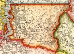
King County Washington, 1909 Map
114 miles away
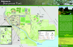
Marymoor Park Map
114 miles away
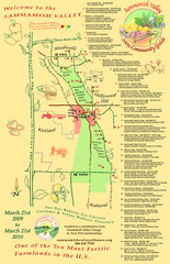
Sammamish Valley Guide Map
114 miles away
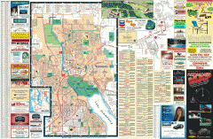
Redmond Area tourist map
Tourist map of the Redmond Area on Washington. Shows all businesses.
114 miles away
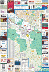
Issaquah tourist map
Issaquah, Washington tourist map. Shows all businesses.
114 miles away
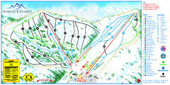
Hemlock Resort Ski Trail Map
Trail map from Hemlock Resort, which provides downhill and terrain park skiing. It has 4 lifts...
115 miles away

Greater Kirkland tourist map
Tourist map of Greater Kirkland, Washington. Shows all businesses.
115 miles away
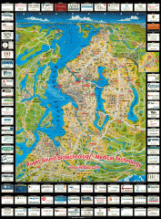
Puget Sound biotech map
Map of Puget Sound area biotechnology companies.
115 miles away
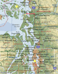
Washington State - West Coast Map
Washington State - West Coast Map
115 miles away
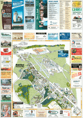
Mukilteo tourist map
Mukilteo, Washington tourist map. Shows all businesses.
115 miles away
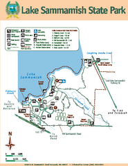
Lake Sammamish State Park Map
Map of island with detail of trails and recreation zones
115 miles away
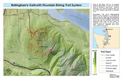
Bellingham Galbraith Mountain Biking Trail Map
Mountain biking trail map of Whatcom Falls Park near Bellingham, WA
116 miles away
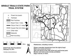
Bridle Trails State Park Map
117 miles away
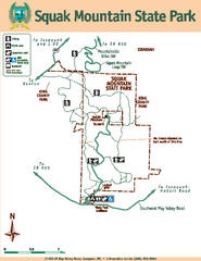
Squak Mountain State Park Map
Map of park with detail of trails and recreation zones
117 miles away
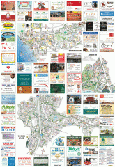
Kirkland tourist map
Kirkland, Washington tourist map. Shows all businesses.
117 miles away
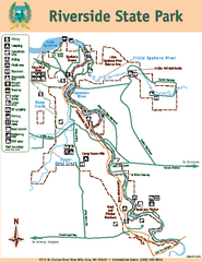
Riverside State Park Map
Map of park with detail of trails and recreation zones
117 miles away
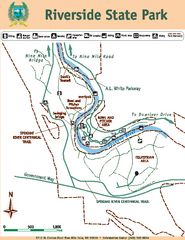
Riverside State Park Map
Map of park with detail of trails and recreation zones
117 miles away
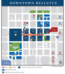
Downtown Bellevue Map
Driving Directions and Downtown Map
117 miles away
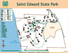
Saint Edward State Park Map
Map of park with detail of trails and recreation zones
118 miles away
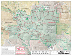
Cougar Mountain Park Trail Map
Trail map of Cougar Mountain Regional Wildland Park, part of the "Issaquah Alps"
118 miles away
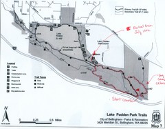
Lake Padden Park Trails Map
Course Elevation Map noted in handwriting on map. Festival location noted as well.
118 miles away
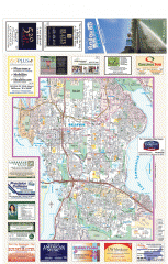
Bellevue tourist map
Tourist map of Bellevue, Washington. Shows all businesses.
118 miles away
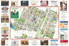
Tourist map of Downtown Bellevue
Tourist map of Downtown Bellevue, Washington. Shows all businesses.
118 miles away
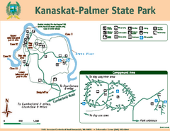
Kanaskat-Palmer State Park Map
Map of park with detail of trails and recreation zones
119 miles away

