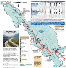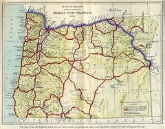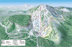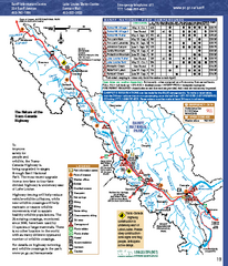
Banff National Park map
Official Parks Canada map of Banff National Park. Birthplace of Canada's national park system...
269 miles away
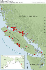
BC Salmon Farms Map
Shows fishfarms in BC around Vancouver Island, highest concentration of fish farms in North Pacific
269 miles away
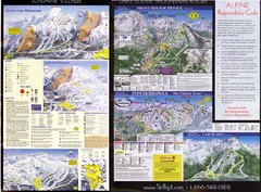
2007–08 2007–08 Ski Big 3 Side 2 (Lake Louise...
Trail map from Lake Louise, which provides downhill skiing. This ski area has its own website.
269 miles away
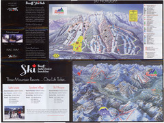
Lake Louise 2007–08 Ski Big 3 Side 1 (3...
Trail map from Lake Louise, which provides downhill skiing. This ski area has its own website.
269 miles away
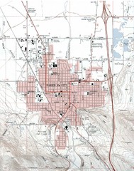
Baker City, Oregeon Tourist Map
269 miles away
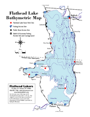
Bathymetric Map of Flathead Lake
Bathymetry refers to underwater depth
269 miles away
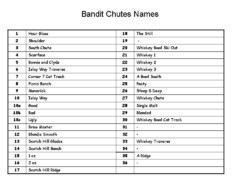
Fortress Bandit Chutes Run Names List Map
Trail map from Fortress, which provides downhill skiing.
270 miles away
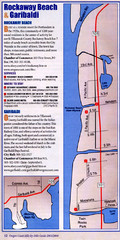
Rockaway Beach Map
270 miles away
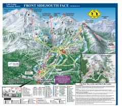
Lake Louise Ski Trail map - Front side/south face...
Official ski trail map of the front side/south face of Lake Louise ski area from the 2005-2006...
270 miles away
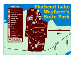
Wayfarers State Park Map
271 miles away
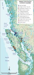
BC Fish Farm Map
Shows salmon farm tenures in southern British Columbia, Canada.
271 miles away
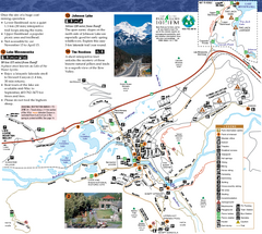
Banff National Park Map
Map of park with detail of trails and recreation zones
271 miles away
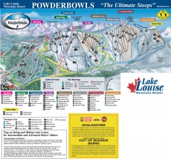
Lake Louise Ski Trail map - Ptarmigan/Paradise...
Official ski trail map of the Ptarmigan/Paradise/Back Bowls of Lake Louise ski area from the 2005...
271 miles away
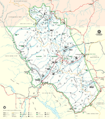
Glacier National Park Trail Map
Trails campgrounds and ranger stations.
272 miles away
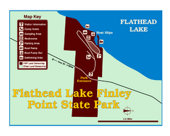
Finley Point State Park Map
This park is located in a secluded, mature pine forest near the south end of Flathead Lake. Enjoy...
272 miles away
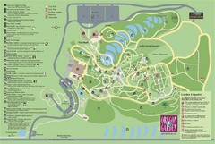
Oregon Garden Map
Map and key marking trails and more in this amazing garden.
273 miles away
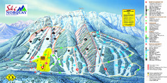
Norquay Map
Ski trail map
273 miles away
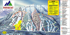
Banff Mount Norquay Ski Trail Map
Trail map from Banff Mount Norquay, which provides downhill skiing. This ski area has its own...
273 miles away
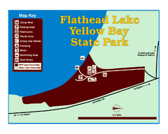
Yellow Bay State Park Map
Yellow Bay is in the heart of the famous Montana sweet cherry orchards, blossoms color the...
274 miles away
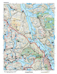
Campbell River Area Map
Vancouver Island, Victoria & Gulf Islands
274 miles away
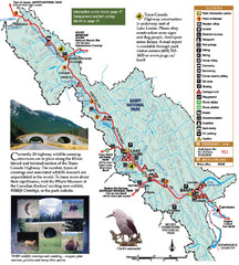
Banff National Park Map
274 miles away
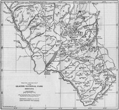
1915 Glacier National Park Map
Historical map of Glacier National Park in Montana.
275 miles away
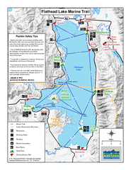
West Shore State Park Map
Glacially carved rock outcrops rise from Flathead Lake to overlooks with spectacular views of the...
275 miles away
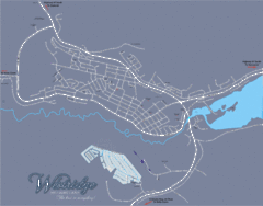
Williams Lake Town Map
276 miles away
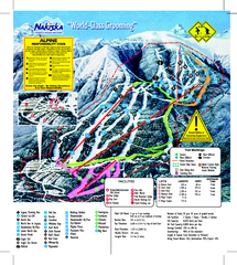
Nakiska Ski Resort Ski Trail Map
Trail map from Nakiska Ski Resort, which provides downhill skiing. This ski area has its own...
276 miles away
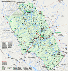
Glacier National Park official map
Glacier National Park official map.
277 miles away
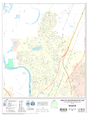
Keizer Oregon Road Map
278 miles away
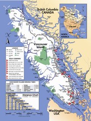
Vancouver Island Road Map
279 miles away
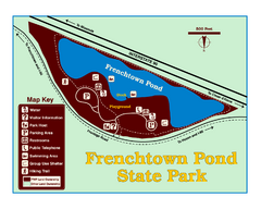
Frenchtown Pond State Park Map
Plan to bring everyone in the family to this day-use-only park for a whole afternoon of picnicking...
279 miles away
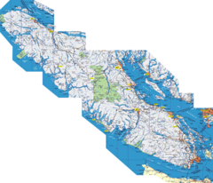
Vancouver Island Map
Detailed map of Vancouver Island, British Columbia. Shows towns, roads, and parks.
282 miles away
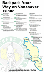
Vancouver Island Backpacking Map
Shows hostels on Vancouver Island, BC
282 miles away
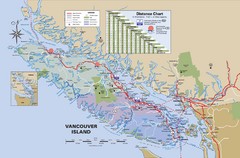
Vancouver Island Map
282 miles away

Glacier National Park by carvedmaps.com Map
Wooden carved map of Glacier National Park by carvedmaps.com Anywhere in the United States maps...
283 miles away
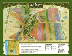
Van Duzer Vineyard Map
"A colorful vineyard map that shows the location of Van Duzer’s numerous grape varietals...
285 miles away
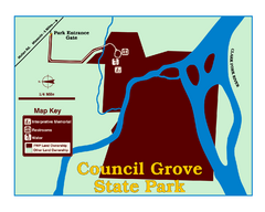
Council Grove State Park Map
Clearly marked map.
287 miles away

Independence Oregon Road Map
290 miles away
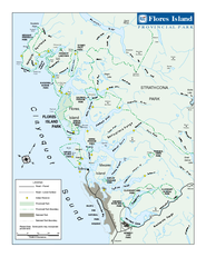
Flores Island Provincial Park Area Map
Park map of area around Flores Island Provincial Park, BC in the Clayoquot Sound. Flores Island is...
291 miles away

