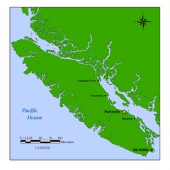
Vancouver Island Overview Map
Town of Parksville highlighted.
246 miles away

King City Oregon Road Map
248 miles away
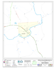
Monument Oregon Road Map
248 miles away
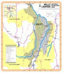
Hells Canyon National Recreation Area Map
Official Forest Service map of the Hells Canyon National Recreation Area. Shows roads, trails...
248 miles away
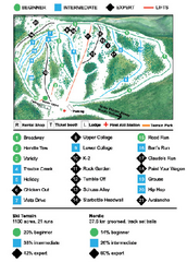
Anthony Lakes Mountain Resort Ski Trail Map
Trail map from Anthony Lakes Mountain Resort.
250 miles away
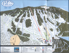
Mt Timothy Ski Trail Map
Trail map from Mt Timothy.
251 miles away
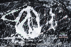
Ferguson Ridge Ski Trail Map
Trail map from Ferguson Ridge.
253 miles away
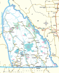
Kootenay Mountains Map
254 miles away
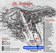
Pre-1999 Forbidden Plateau Map #2
Trail map from Forbidden Plateau.
254 miles away
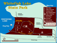
Whitefish Lake State Park Map
Although it’s right on the outskirts of Whitefish, this small park provides a mature forest...
254 miles away
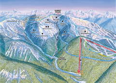
Whitefish Mountain Resort Hellroaring Ski Trail...
Trail map from Whitefish Mountain Resort.
255 miles away

Whitefish Mountain Resort Northside Ski Trail Map
Trail map from Whitefish Mountain Resort.
255 miles away
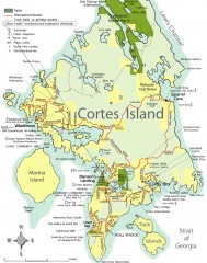
Cortes Island tourist map
Tourist map of Cortes Island in British Columbia, Canada. Shows businesses and roads.
255 miles away
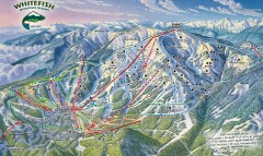
Whitefish Mountain Ski Trail Map - Front Side
Official ski trail map of Whitefish Mountain ski area from the 2007-2008 season. (formerly named...
255 miles away
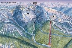
Whitefish Mountain Ski Trail Map - Hellroaring...
Official ski trail map of Whitefish Mountain ski area from the 2007-2008 season. (formerly named...
255 miles away
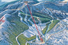
Whitefish Mountain Ski Trail Map - North Side
Official ski trail map of Whitefish Mountain ski area from the 2007-2008 season. (formerly named...
256 miles away
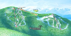
Blacktail Mountain Ski Trail Map
Official ski trail map of Blacktail Mountain ski area. See Blacktail's site for trailnames.
256 miles away

Blacktail Mountain Ski Area Ski Trail Map
Trail map from Blacktail Mountain Ski Area.
257 miles away
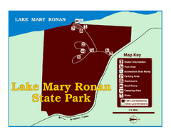
Lake Mary Ronan State Park Map
Off the beaten path just seven miles west of Flathead Lake, this park is shaded by Douglas fir and...
257 miles away
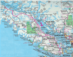
Vancouver Island Road Map
258 miles away
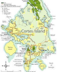
Cortes Island Tourist Map
Places of interest.
258 miles away
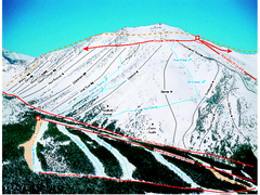
Castle Mountain Resort Ski Trail Map
Trail map from Castle Mountain Resort, which provides downhill skiing. This ski area has its own...
258 miles away
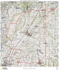
Spring Century Bike Route Map
Oregon Spring Century Ride
261 miles away
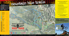
Mt. Washington Resort Summer Mountain Biking Ski...
Trail map from Mt. Washington Resort, which provides downhill and nordic skiing.
261 miles away
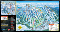
Mt. Washington Resort Ski Trail Map
Trail map from Mt. Washington Resort, which provides downhill and nordic skiing.
261 miles away
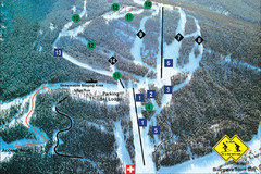
Pass Powderkeg Ski Trail Map
Trail map from Pass Powderkeg, which provides downhill skiing. This ski area has its own website.
261 miles away
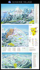
Sunshine Trail Map
Trail map of Sunshine Village
262 miles away
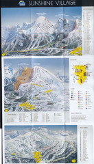
Banff’s Sunshine Village Ski Trail Map
Trail map from Banff’s Sunshine Village.
262 miles away
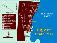
Big Arm State Park Map
Clear map and map key of Park camping grounds.
262 miles away
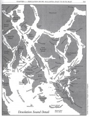
Desolation Sound Detail Map
Shows general geography of Desolation Sound from Malaspina Inlet to Bute Inlet. Shows Cortes Bay...
262 miles away
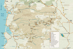
Tillamook State Forest Map
Recreation map of Tillamook State Forest. Over 60 miles of non-motorized trails and 150 miles of...
262 miles away
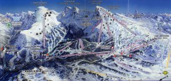
Sunshine Village Ski Trail Map
Official ski trail map of Sunshine Village ski area.
262 miles away

Panorama Ski Area Trail Map
Guide to the Panorama Mountain Resort, outside Calgary, Canada
264 miles away
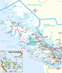
Vancouver Island Park Map
Parks and roads on Vancouver Island.
265 miles away
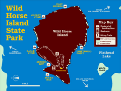
Wild Horse Island State Park Map
Boat access to this day-use-only, primitive park is regulated to protect the 2,000-acre island. The...
266 miles away
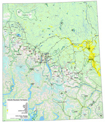
Chilcotin Mountains Trail System Map
Trail system map of the Chilcotin Mountains in BC, Canada "On the trail system map '...
266 miles away
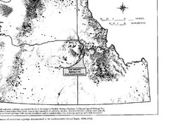
Map of Wolverine Sightings: 1886 -- 1998
266 miles away
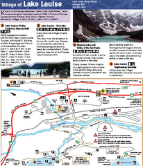
Lake Louise Area Map
Map of Lake Louise with detail of trails and recreation zones
267 miles away
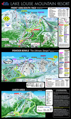
Lake Louise Trail Map
Ski area trail map for Lake Louise Mountain
268 miles away

