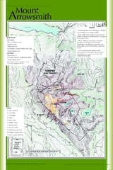
Mount Arrowsmith Climbing Route Map
Climbing routes on Mount Arrowsmith, Vancouver Island
221 miles away
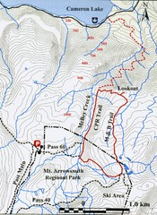
Mt. Arrowsmith Park CPR Historic Trail Map
Trail map of Mt. Arrowsmith Regional Park CPR Historic Trail, Vancouver Island
221 miles away
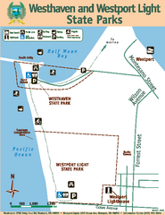
Westhaven/Westport Light State Parks Map
Map of park with detail of trails and recreation zones
222 miles away
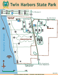
Twin Harbors State Park Map
Map of park with detail of trails and recreation zones
223 miles away
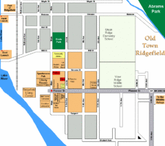
Guide Map of Old Town Ridgefield
Guide Map of Old Town Ridgefield, Washington
223 miles away
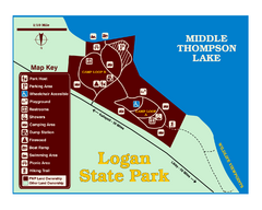
Logan State Park Map
With frontage on the north shore of Middle Thompson Lake, Logan is heavily forested with western...
224 miles away
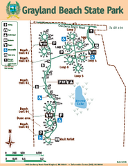
Grayland Beach State Park Map
Map of park with detail of trails and recreation zones
224 miles away
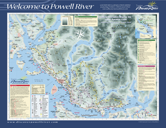
Upper Sunshine Coast Recreation Map
Recreation map of Upper Sunshine Coast in BC. Shows hiking trails, kayaking and canoeing routes...
226 miles away
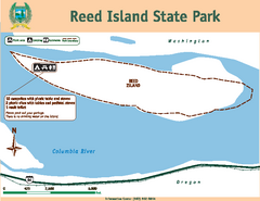
Reed Island State Park Map
Map of park with detail of trails and recreation zones
227 miles away
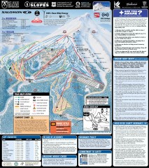
Mt. Hood Meadows Ski Trail Map
Official ski trail map of Mt. Hood Meadows ski area from the 2007-2008 season.
227 miles away
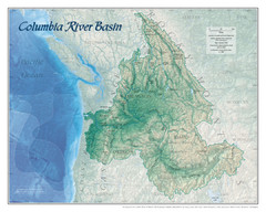
Columbia River Basin Map
227 miles away
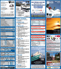
Mt. Hood Meadows Ski Resort Ski Trail Map
Trail map from Mt. Hood Meadows Ski Resort.
228 miles away
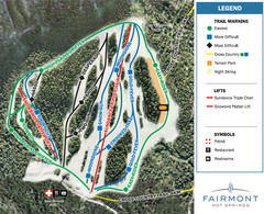
Fairmont Hot Springs Resort Ski Trail Map
Trail map from Fairmont Hot Springs Resort.
228 miles away
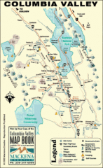
Columbia Valley Map
Easy to follow map and legend of this wilderness area.
228 miles away

Timberline Ski Area Ski Trail Map
Trail map from Timberline Ski Area.
228 miles away
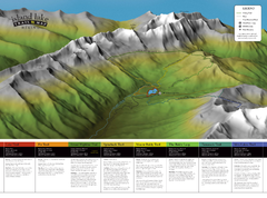
Island Lake Hiking Map
Hiking trail map of Island Lake area near Fernie, BC
228 miles away
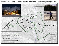
Island Lake Lodge Ski Trail Map
Trail map from Island Lake Lodge, which provides nordic skiing. This ski area has its own website.
228 miles away
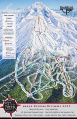
Timberline Ski Trail Map
Official ski trail map of Timberline Lodge ski area from the 2007-2008 season.
228 miles away
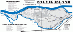
Sauvie Island tourist map
Tourist map of Sauvie Island in Oregon. Shows all businesses and points of interest.
229 miles away
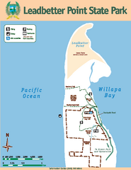
Leadbetter Point State Park Map
Map of park with detail of recreation zones and trails
229 miles away
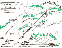
Summit Ski Area Ski Trail Map
Trail map from Summit Ski Area.
231 miles away
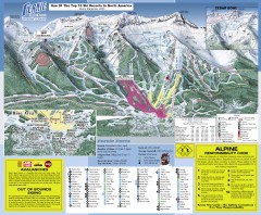
Fernie Ski Trail Map
Official ski trail map of Fernie ski area from the 2007-2008 season.
231 miles away
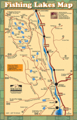
Radium Hot Springs Fishing Map
Beautiful map of the many fishing spots at this amazing site.
231 miles away
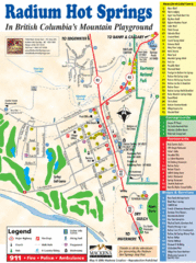
Radium Hot Springs Map
An easy to read map of this amazing hot springs area.
231 miles away
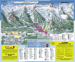
Fernie Alpine Resort Ski Trail Map
Trail map from Fernie Alpine Resort, which provides downhill and nordic skiing. This ski area has...
231 miles away
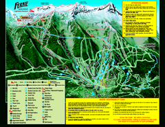
Fernie Alpine Resort 2007 Fernie Summer Map
Trail map from Fernie Alpine Resort, which provides downhill and nordic skiing. This ski area has...
231 miles away

Mt. Hood SkiBowl Ski Trail Map
Trail map from Mt. Hood SkiBowl.
231 miles away
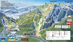
Mt. Hood Skibowl Ski Trail Map
Official ski trail map of ski area from the 2007-2008 season.
232 miles away
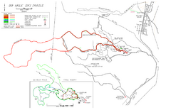
99 Mile Ski Ski Trail Map
Trail map from 99 Mile Ski Trails, which provides nordic skiing. This ski area has its own website.
232 miles away
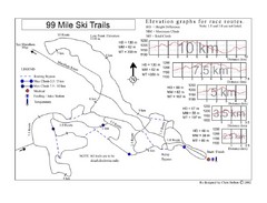
99 Mile Ski Race Routes Ski Trail Map
Trail map from 99 Mile Ski Trails, which provides nordic skiing. This ski area has its own website.
232 miles away
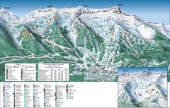
Fernie Alpine Trail Map
Ski trail map
232 miles away

Maywood Park Oregon Road Map
233 miles away
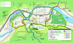
Fernie Town Trails Map
Trail map of recreational trails in and around town of Fernie, BC
233 miles away
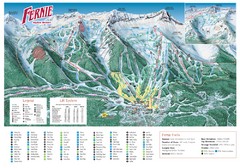
Fernie Mountain Trail Map
233 miles away
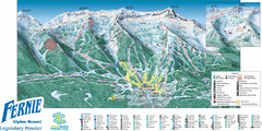
Fernie Mountain Trail Map
233 miles away
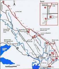
Log Train Trail Map
Trail map of the Log Train Trail near Port Alberni, Vancouver Island
233 miles away
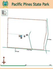
Pacific Pines State Park Map
Map of park with detail of trails and recreation zones
234 miles away
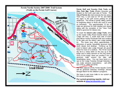
Fernie Golf Course Ski Trail Map
Trail map from Fernie Golf Course, which provides nordic skiing. This ski area has its own website.
234 miles away
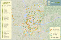
Bi-State Regional Trail System Plan Map
Shows plan for developing 37 Bi-State Regional Trails
234 miles away
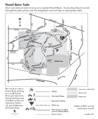
Powell Butte Nature Park Trail Map
Trail map of Powell Butte Nature Park. Shows over 9 miles of trails
235 miles away

