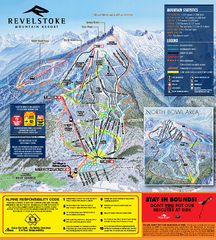
Revelstoke Ski Trail Map 2010-11
Ski trail map of Revelstoke Mountain Resort for the 2010-2011 season. Inset shows North Bowl area.
194 miles away
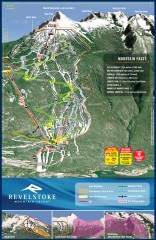
Revelstoke Ski Trail Map
Official ski trail map of Revelstoke ski area from the inaugural 2007-2008 season.
195 miles away
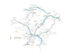
Pemberton Valley Area Parks Map
Area parks map of Pemberton Valley area in BC. Shows peaks and lakes.
195 miles away
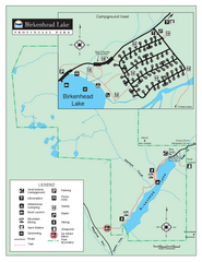
Birkenhead Lake Provincial Park Map
Park map of Birkenhead Lake Provincial Park, BC. Inset of campground
195 miles away
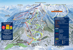
Revelstoke Ski Trail Map 2009-2010
Official ski trail map of Revelstoke Mountain Resort from the 2009-2010 season.
195 miles away

Revelstoke City Map
Overview map of Revelstoke, BC. Shows Points of Interest and activity icons
196 miles away
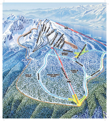
Revelstoke Ski Trail Map - North Bowl
Ski trail map of the North Bowl of Revelstoke ski area in Revelstoke, BC. From the 2008-2009...
196 miles away
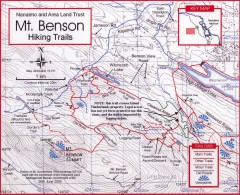
Mt. Benson Hiking Trail Map
Show hiking trails in the Nanaimo and Area Land Trust containing Mt. Benson. Also shows roads and...
196 miles away
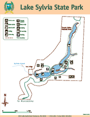
Lake Sylvia State Park Map
Map of island with detail of trails and recreation zones
197 miles away
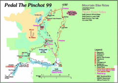
Pedal the Pinchot Bike Ride Route Map
Route Map for the Pedal the Pinchot 99 bike ride - annotated on a Park trail map.
197 miles away
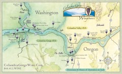
Columbia Gorge Wine Map
Wineries of the Columbia River Gorge area, Oregon.
197 miles away
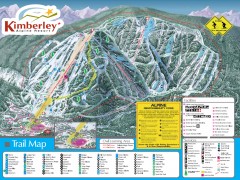
Kimberley Ski Trail Map
Official ski trail map of Kimberley ski area from the 2007-2008 season.
197 miles away
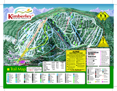
Kimberley Alpine Resort Ski Trail Map
Trail map from Kimberley Alpine Resort.
198 miles away
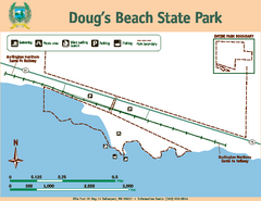
Dougs Beach State Park Map
Map of park with detail of trails and recreation zones
198 miles away
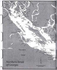
Northern Strait of Georgia Map
198 miles away
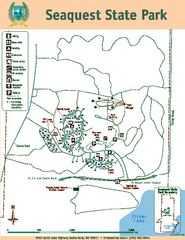
Seaquest State Park Map
Map of park with detail of trails and recreation zones
199 miles away
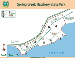
Spring Creek Hatchery State Park map
Map of park with detail of trails and recreation zones
200 miles away
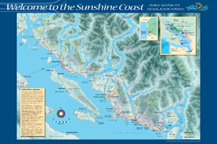
Sunshine Coast Recreation Map
Recreation map of the Sunshine Coast in BC. Shows trails for hiking (in yellow) and mountain...
201 miles away
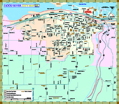
Hood River Map
Tourist map of city of Hood River, Oregon.
201 miles away
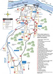
Hood River County Fruit Loop map
35-mile scenic drive through the valley's orchards, forests, farmlands, and friendly...
204 miles away

Kootenay Rockies Map
The Kootenay Rockies Range in British Columbia, Canada
205 miles away
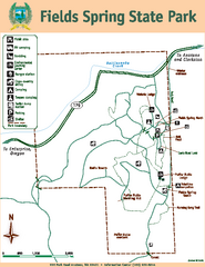
Fields Spring State Park Map
Map of park with detail of trails and recreation zones
205 miles away
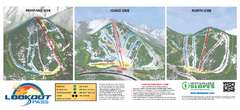
Lookout Pass Ski Trail Map
Official ski trail map of Lookout Pass ski area from the 2007-2008 season. Shows Montana, Idaho...
205 miles away

West Coast Trail Map
208 miles away
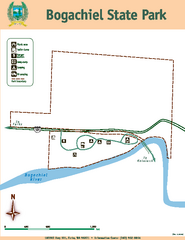
Bogachiel State Park Map
Map of park with detail of trails and recreation zones
208 miles away
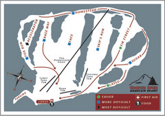
Cooper Spur Ski Area Ski Trail Map
Trail map from Cooper Spur Ski Area.
215 miles away
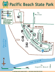
Pacific Beach State Park Map
Map of park with detail of trails and recreation zones
216 miles away
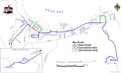
Neah Bay Bus Route Map
216 miles away
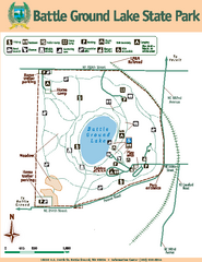
Battle Ground Lake State Park Map
Map of park with detail of trails and recreation zones
216 miles away
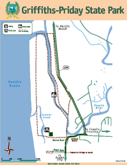
Griffiths-Priday State Park Map
Griffiths-Priday State Park
217 miles away
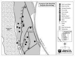
Thompson Falls State Park Map
This shaded, quiet campground is located on the Clark Fork River near the town of Thompson Falls in...
218 miles away
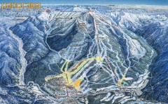
Panorama Ski Trail Map
Official ski trail map of Panorama ski area from the 2006-2007 season.
218 miles away
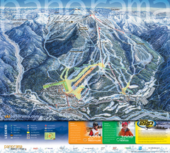
Panorama Mountain Village Ski Trail Map
Trail map from Panorama Mountain Village.
218 miles away
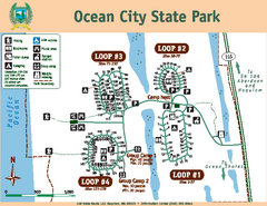
Ocean City State Park Map
Map of park with detail of trails and recreation zones
219 miles away

Panorama Trail Map
Ski trail map
219 miles away
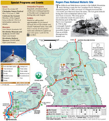
Glacier National Park and Revelstoke National...
Official park map of Glacier National Park and Revelstoke National Park in British Columbia, Canada.
219 miles away
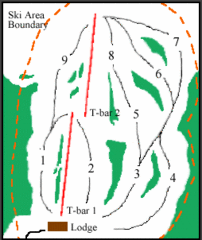
Mount Arrowsmith (Upper) Ski Trail Map
Trail map from Mount Arrowsmith (Upper).
221 miles away
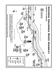
Historic Columbia River Highway Map
Official map from the US Forest Service. Shows the Corbett to Dodson stretch of Highway 30 with...
221 miles away

