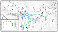
Larch Hills Nordics All Ski Trail Map
Trail map from Larch Hills Nordics, which provides night and nordic skiing. This ski area has its...
164 miles away
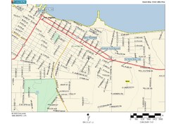
Port Angeles City Map
165 miles away
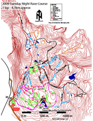
Cypress Mountain Tuesday Night Race Course Ski...
Trail map from Cypress Mountain, which provides downhill, night, nordic, and terrain park skiing...
165 miles away
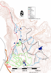
Cypress Mountain Nordic (Skiingbc.info Topo...
Trail map from Cypress Mountain, which provides downhill, night, nordic, and terrain park skiing...
165 miles away
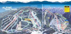
Cypress Mountain Ski Trail Map
Official ski trail map of Cypress Mountain ski area from the 2007-2008 season. Official freestyle...
165 miles away
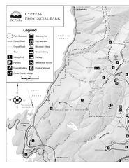
Cypress Provincial Park Map
Park map of Cypress Provincial Park, BC. Home of the North Shore Mountains. 2 pages.
165 miles away
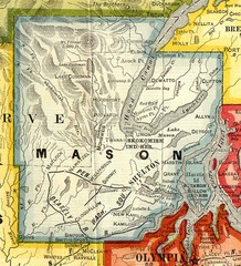
Mason County Washington, 1909 Map
166 miles away

Olympia Map
Map of downtown Olympia's parking and shuttle routes.
167 miles away
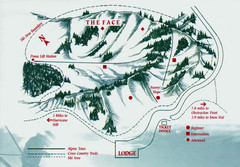
Hurricane Ridge Ski Trail Map
Trail map from Hurricane Ridge.
167 miles away
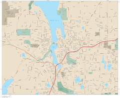
Olympia, Washington City Map
168 miles away
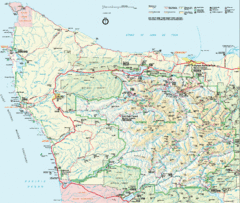
Olympic National Park Map
169 miles away
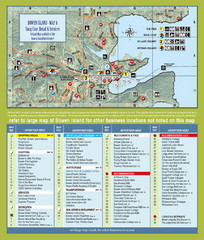
Bownen Island Tourist Map
170 miles away

Bowen Island 3D Aerial Map
3d aerial map of Bowen Island, BC
170 miles away
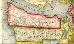
Clallam and Jefferson Counties Washington, 1909...
171 miles away
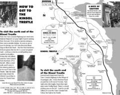
Kinsol Trestle Map
Map of the Kinsol Trestle
171 miles away
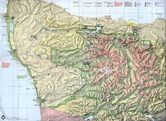
Olympic National Park Map
171 miles away
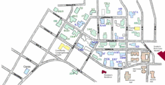
Washington State University's Greek Row Map
Map of WSU's fraternities and sororities
172 miles away

Pullman Parks Trail Map
Trails and pathways map
172 miles away
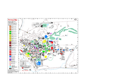
Washington State University Map
Washington State University Campus Map. All buildings shown.
172 miles away
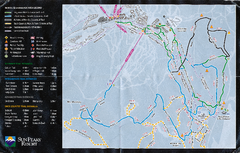
Sun Peaks Resort Nordic Ski Trail Map
Trail map from Sun Peaks Resort, which provides downhill, nordic, and terrain park skiing. This ski...
172 miles away
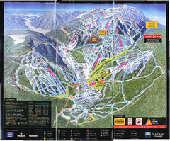
Sun Peaks Resort Ski Trail Map
Trail map from Sun Peaks Resort, which provides downhill, nordic, and terrain park skiing. This ski...
172 miles away
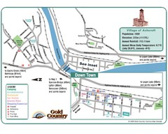
Ashcroft Map
Map of Ashcroft, includes all streets, highways, accommodations and attractions.
173 miles away
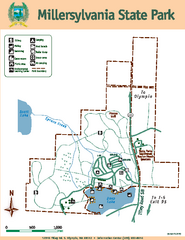
Millersylvania State Park Map
Map of park with detail of trails and recreation zones
173 miles away
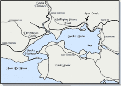
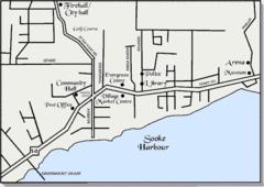
Community of Sooke, British Columbia Map
http://www.sooke.org/maps/map2.htm © Pax Media Inc.
173 miles away
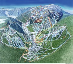
Sun Peaks Ski Trail Map
Official ski trail map of Sun Peaks ski area from the 2006-2007 season.
173 miles away
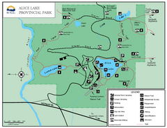
Alice Lake Provincal Park Map
174 miles away
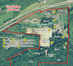
Grays Harbor County Straddleline ORV Park...
Park Map near Olympia
175 miles away
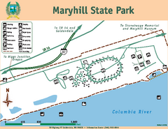
Maryhill State Park Map
Map of park with detail of trails and recreation zones
175 miles away
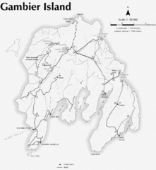
Gambier Island Trail Map
Trail map of Gambier Island, BC. See site for trail descriptions and details.
175 miles away
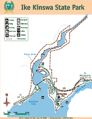
Ike Kinswa State Park Map
Map of park with detail of trails and recreation zones
176 miles away
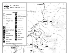
Garibaldi Provincial Park Map
Park map of Garibaldi Provincial Park, BC. 2 pages.
177 miles away
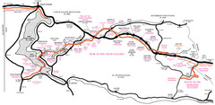
Trail of the Coeur d'Alenes Map
Shows the Trail of the Coeur d'Alenes, a 72 mile bike path that follows the Union Pacific...
177 miles away
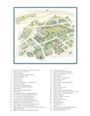
Whitman College Campus Map
Campus map of Whitman College in Walla Walla, WA
177 miles away
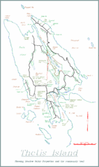
Thetis Island Map
Thetis Island map showing roads, properties, and the community trail.
177 miles away
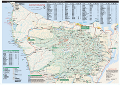
Olympic National Park wilderness campsite map
Official wilderness campsite map of Olympic National Park. Shows roads, trails, visitor...
178 miles away
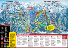
Whistler Blackcomb Trail map 2010-2011
Official ski trail map Whistler Blackcomb for the 2010-2011 season.
180 miles away
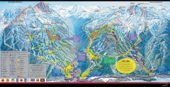
Whistler Blackcomb Ski Trail map 2005-06
Official ski trail map of the Whistler Blackcomb ski area from the 2005-2006 season. Site of the...
180 miles away
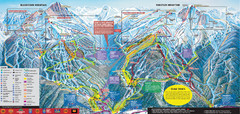
Whistler Blackcomb Ski Trail Map 2007-2008
Official ski trail map of the Whistler Blackcomb ski area from the 2007-2008 season. Site of Alpine...
180 miles away
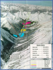
Cayoosh Resort (Melvin Creek) Ski Trail Map
Trail map from Cayoosh Resort (Melvin Creek), which provides downhill skiing.
181 miles away

