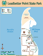
Leadbetter Point State Park Map
Map of park with detail of recreation zones and trails
124 miles away
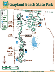
Grayland Beach State Park Map
Map of park with detail of trails and recreation zones
124 miles away
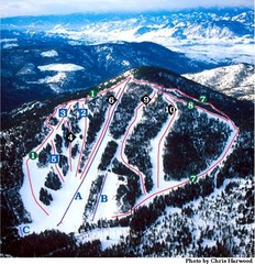
Loup Loup Ski Bowl Ski Trail Map
Trail map from Loup Loup Ski Bowl, which provides downhill, night, and nordic skiing. It has 2...
124 miles away
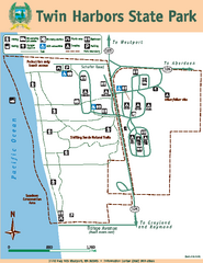
Twin Harbors State Park Map
Map of park with detail of trails and recreation zones
125 miles away
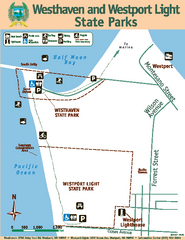
Westhaven/Westport Light State Parks Map
Map of park with detail of trails and recreation zones
125 miles away
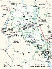
North Cascades National Park map
Official NPS map of North Cascades National Park, Washington. Shows the entire park and...
126 miles away
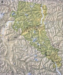
North Cascades National Park Physical Map
National Park
126 miles away
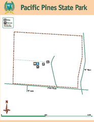
Pacific Pines State Park Map
Map of park with detail of trails and recreation zones
126 miles away
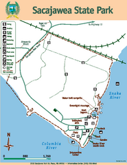
Sacajawea State Park Map
Map of park with detail of trails and recreation zones
126 miles away
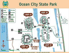
Ocean City State Park Map
Map of park with detail of trails and recreation zones
127 miles away
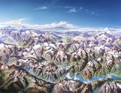
North Cascades National Park Oblique Map
Oblique map looking across Ross Damn, and Diablo Lake towards Seattle
128 miles away
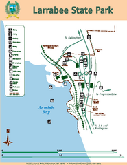
Larrabee State Park Map
Map of island with detail of trails and recreation zones
128 miles away
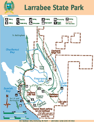
Larrabee State Park Map
Map of island with detail of trails and recreation zones
128 miles away
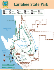
Larrabee State Park Map
Park map of Larrabee State Park, Washington.
128 miles away
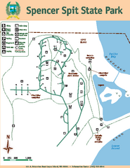
Spencer Spit State Park Map
Map of park with detail of trails and recreation zones
128 miles away
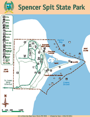
Spencer Spit State Park Map
Map of park with detail of trails and recreation zones
128 miles away
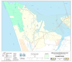
Warrenton Oregon Road Map
128 miles away
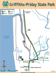
Griffiths-Priday State Park Map
Griffiths-Priday State Park
128 miles away
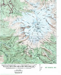
Mt. Baker Topo Map
Topo map of Mt. Baker, Washington, elevation 10,778ft.
129 miles away
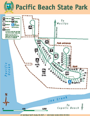
Pacific Beach State Park Map
Map of park with detail of trails and recreation zones
130 miles away
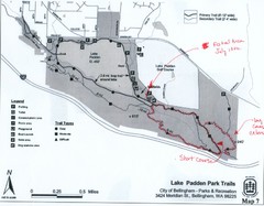
Lake Padden Park Trails Map
Course Elevation Map noted in handwriting on map. Festival location noted as well.
130 miles away
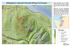
Bellingham Galbraith Mountain Biking Trail Map
Mountain biking trail map of Whatcom Falls Park near Bellingham, WA
131 miles away
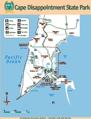
Cape Dissapointment State Park Map
Map of park with detail of trails and recreation zones
131 miles away
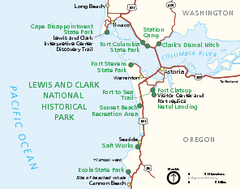
Lewis & Clark National Historic Trail...
Official NPS map of Lewis & Clark National Historic Trail in Oregon-Washington. Shows all areas...
131 miles away
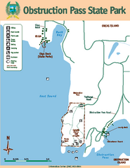
Obstruction Pass State Park Map
Map of park with detail of trails and recreation zones
131 miles away
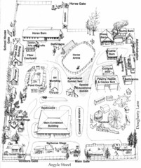
San Juan County Fair Map 2008
Fairgrounds map for the San Juan County Fair, Friday Harbor, Washington
131 miles away
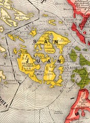
San Juan County Washington, 1909 Map
132 miles away
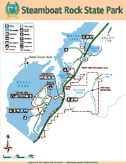
Steamboat Rock State Park Map
Map of park with detail of trails and recreation zones
132 miles away

San Juan Island tourist map
San Juan Island and Friday Harbor tourist map. Shows all businesses.
133 miles away
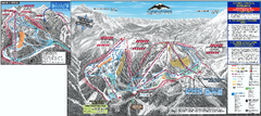
Mt. Baker Ski Trail Map
Official ski trail map of Mount Baker ski area from the 2007-2008 season.
133 miles away
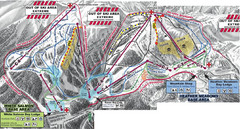
Mt. Baker Ski Area Ski Trail Map
Trail map from Mt. Baker Ski Area, which provides terrain park skiing. It has 10 lifts servicing 38...
134 miles away

Orcas tourist map
Tourist map of Orcas, Washington. Shows all businesses.
134 miles away
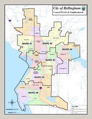
Bellingham Ward Map
Guide to wards in Bellingham, WA
134 miles away
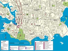
Downtown Victoria Map
134 miles away
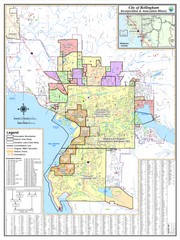
Bellingham, Washington City Map
135 miles away
BEACON HILL PARK MAP
135 miles away
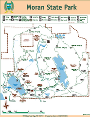
Moran State Park Map
Map of park with detail of trails and recreation zones
135 miles away
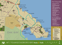
Mt. Tolmie & Cadboro Bay Map
Section of larger map, showing Seaside Touring Route and other regional and local cycling routes...
135 miles away

Shuttle to Town Map
135 miles away

