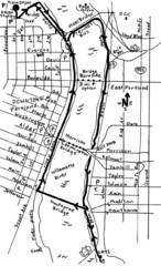
Portland Oregon downtown walk Map
Walk from the Amtrak Station to the Oregon Museum of Science and Industry. 4 miles round trip...
113 miles away
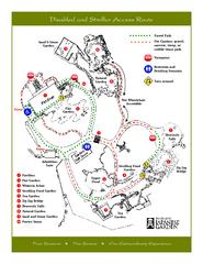
Portland Japanese Garden Map
So Far My favorite Japanese Garden
113 miles away
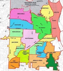
Portland, Oregon Neighborhood Map
113 miles away
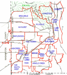
Portland, Oregon Neighborhood Map
113 miles away
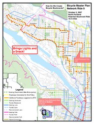
Portland, Oregon Bike Map
113 miles away
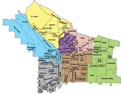
Portland, Oregon Neighborhood Map
113 miles away
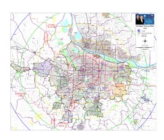
Portland, Oregon Tourist Map
113 miles away
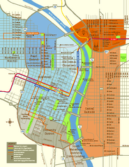
Central Portland, Oregon Map
Tourist map of Portland, Oregon. Shows museums, sports arenas, parks, and public transportation.
113 miles away
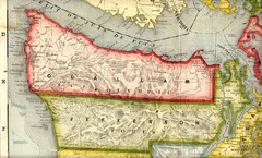
Clallam and Jefferson Counties Washington, 1909...
113 miles away
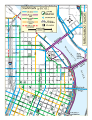
North Downtown Portland Bike Parking Map
Biking map of northern downtown Portland, Oregon. Shows bike paths, parking, and stores.
114 miles away
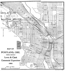
Portland, Oregon Map
Map of Portland, Oregon during centennial exposition of the Lewis & Clark Exploration...
114 miles away
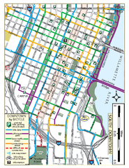
South Downtown Portland Bike Map
Biking map of southern downtown Portland, Oregon. Shows bike paths, bike parking, and bike shops.
114 miles away
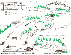
Summit Ski Area Ski Trail Map
Trail map from Summit Ski Area.
114 miles away
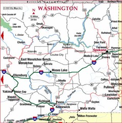
Eastern Washington Road Map
114 miles away
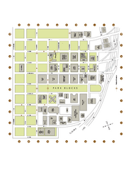
Portland State University Map
Campus Map of Portland State University. All buildings shown.
114 miles away

Mt. Hood SkiBowl Ski Trail Map
Trail map from Mt. Hood SkiBowl.
114 miles away
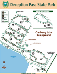
Deception Pass State Park Map
Map of park with detail of trails and recreation zones
114 miles away
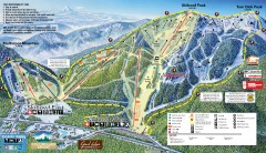
Mt. Hood Skibowl Ski Trail Map
Official ski trail map of ski area from the 2007-2008 season.
114 miles away
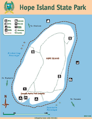
Hope Island State Park Map
Map of park with detail of trails and recreation zones
114 miles away

Happy Valley Oregon Road Map
115 miles away
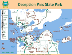
Deception Pass State Park Map
Map of park with detail of trails and recreation zones
115 miles away
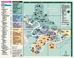
Oregon Zoo Map 2009
115 miles away
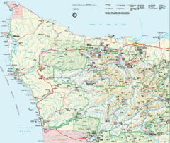
Olympic National Park Map
115 miles away
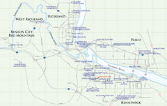
Kennewick Hotel Map
116 miles away
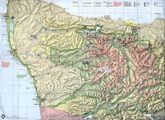
Olympic National Park Map
117 miles away
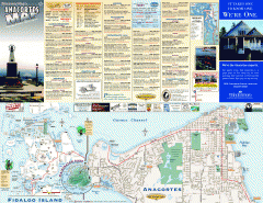
Fidalgo Island tourist map
Tourist map of Fidalgo Island in Anacortes, Washington. Shows recreation and points of interest.
117 miles away

BANKS-VERNONIA STATE TRAIL Map
117 miles away
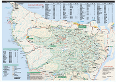
Olympic National Park wilderness campsite map
Official wilderness campsite map of Olympic National Park. Shows roads, trails, visitor...
118 miles away

Skagit County Washington, 1909 Map
118 miles away
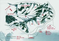
Hurricane Ridge Ski Trail Map
Trail map from Hurricane Ridge.
119 miles away
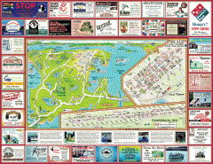
Anacortes tourist map
Tourist map of Anacortes, Washington. Shows recreation and points of interest.
119 miles away
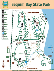
Sequim Bay State Park Map
Map of park with detail of trails and recreation zones
119 miles away

Lake Oswego Oregon Road Map
119 miles away
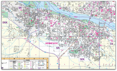
Kennewick, Washington City Map
120 miles away

Tigard Oregon Road Map
121 miles away

City of Kennewick Map
Simple road map of Kennewick.
122 miles away
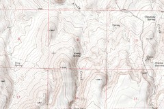
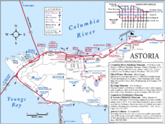
Astoria Oregon Map
A detailed topographic map of Astoria, Oregon and the Columbia River.
123 miles away
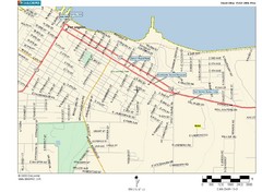
Port Angeles City Map
124 miles away

King City Oregon Road Map
124 miles away

