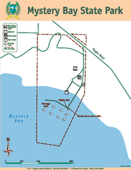
Mystery Bay State Park Map
Map of park with detail of trails and recreation zones
96 miles away
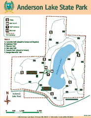
Anderson Lake State Park Map
Map of park and trails
97 miles away
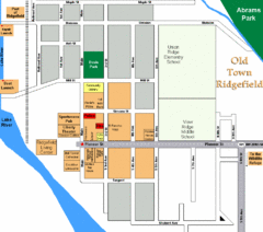
Guide Map of Old Town Ridgefield
Guide Map of Old Town Ridgefield, Washington
99 miles away
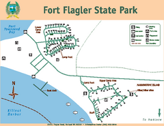
Fort Flagler State Park Map
Map of park with detail of trails and recreation zones
99 miles away
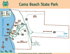
Cama Beach State Park Map
Map of park with detail of trails and recreation zones
99 miles away
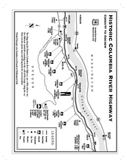
Historic Columbia River Highway Map
Official map from the US Forest Service. Shows the Corbett to Dodson stretch of Highway 30 with...
99 miles away
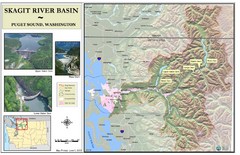
Skagit River Map
Skagit River Basin Overview Map (Pink shading is the FEMA 100 Year Flood)
99 miles away
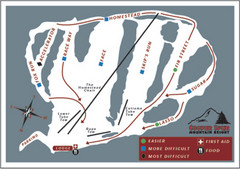
Cooper Spur Ski Area Ski Trail Map
Trail map from Cooper Spur Ski Area.
100 miles away
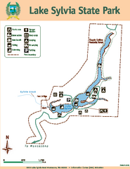
Lake Sylvia State Park Map
Map of island with detail of trails and recreation zones
100 miles away
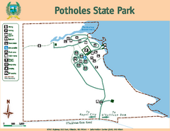
Potholes State Park Map
Map of park with detail of trails and recreation zones
100 miles away
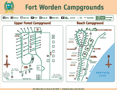
Fort Worden Campgrounds Map
Map of park campgrounds
103 miles away
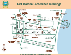
Fort Worden Conference Buildings Map
Map of conference buildings in Fort Worden State Park
103 miles away
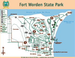
Fort Worden State Park Map
Map of park with detail of trails and recreation zones
103 miles away
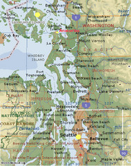
Washington State - West Coast Map
Washington State - West Coast Map
103 miles away
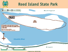
Reed Island State Park Map
Map of park with detail of trails and recreation zones
104 miles away
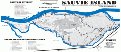
Sauvie Island tourist map
Tourist map of Sauvie Island in Oregon. Shows all businesses and points of interest.
105 miles away

Coupeville tourist map
Tourist map of Coupeville, Washington. Shows all businesses.
105 miles away
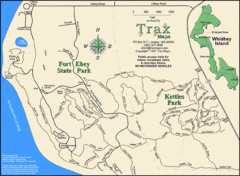
Ft Ebey/Kettle Park Trail Map
Trail map of Fort Ebey Park and Kettle Park, Washington
107 miles away
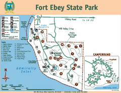
Fort Ebey State Park Map
Map of park with detail of trails and recreation zones
107 miles away
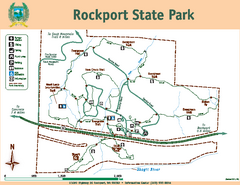
Rockport State Park Map
Map of park with detail of trails and recreation zones
108 miles away

Oak Harbor tourist map
Tourist map of Oak Harbor, Washington. Shows all businesses.
108 miles away
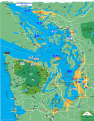
Seattle Ferry Guide Map
Map of ferries around Seattle, Puget Sound and Olympic Peninsula
109 miles away
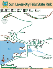
Sun Lakes-Dry Falls State Park Map
Map of park with detail of trails and recreation zones
109 miles away

Maywood Park Oregon Road Map
109 miles away
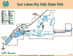
Sun Lakes-Dry Falls State Park Map
Map of park with detail of trails and recreation zones
109 miles away
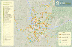
Bi-State Regional Trail System Plan Map
Shows plan for developing 37 Bi-State Regional Trails
110 miles away
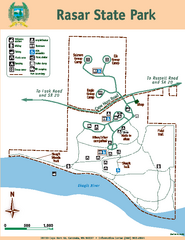
Rasar State Park Map
Map of park with detail of trails and recreation zones
111 miles away
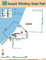
Joseph Whidbey State Park Map
Map of park with detail of trails and recreation zones
111 miles away
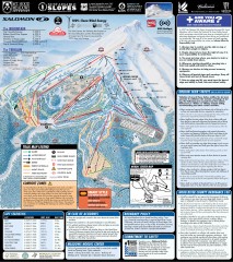
Mt. Hood Meadows Ski Trail Map
Official ski trail map of Mt. Hood Meadows ski area from the 2007-2008 season.
111 miles away
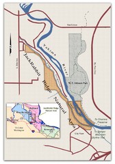
JackRabbit Ridge Natural Area Map
Shows urban wildlands
111 miles away
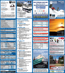
Mt. Hood Meadows Ski Resort Ski Trail Map
Trail map from Mt. Hood Meadows Ski Resort.
111 miles away

Timberline Ski Area Ski Trail Map
Trail map from Timberline Ski Area.
112 miles away
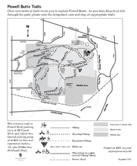
Powell Butte Nature Park Trail Map
Trail map of Powell Butte Nature Park. Shows over 9 miles of trails
112 miles away
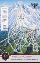
Timberline Ski Trail Map
Official ski trail map of Timberline Lodge ski area from the 2007-2008 season.
112 miles away
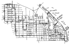
Pearl District Walking Map, Portland Oregon Map
Walk through the Pearl District, along the Willamette River and up to 23rd Street. Detour to the...
113 miles away
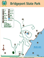
Bridgeport State Park Map
Map of park with detail of trails and recreation zones
113 miles away
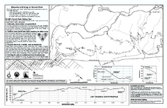
Forest Park Mountain Biking Map
Forest Park now includes over 5,100 wooded acres making it the largest, forested natural area...
113 miles away
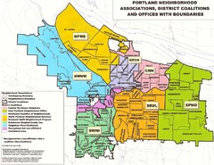
Portland Neighborhood Map
Shows neighborhood associations of Portland, Oregon.
113 miles away
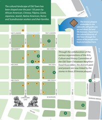
Old Town-China Town Map
Portland's oldest neighborhoods and history are easily seen in Old Town-China Town.
113 miles away


