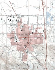
Baker City, Oregeon Tourist Map
407 miles away
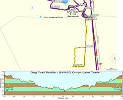
Onion Lake Dog Ski Trail Map
Trail map from Onion Lake, which provides nordic skiing. This ski area has its own website.
408 miles away
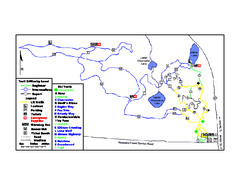
Onion Lake Ski Trail Map
Trail map from Onion Lake, which provides nordic skiing. This ski area has its own website.
408 miles away
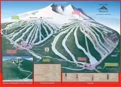
Ski Smithers Ski Trail Map
Trail map from Ski Smithers, which provides downhill and terrain park skiing. It has 3 lifts...
410 miles away
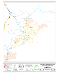
Oakland Oregon Road Map
413 miles away
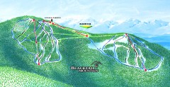
Blacktail Mountain Ski Trail Map
Official ski trail map of Blacktail Mountain ski area. See Blacktail's site for trailnames.
414 miles away
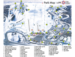
Canada Olympic Park Ski Trail Map
Trail map from Canada Olympic Park, which provides downhill skiing. This ski area has its own...
414 miles away

Blacktail Mountain Ski Area Ski Trail Map
Trail map from Blacktail Mountain Ski Area.
414 miles away
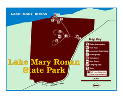
Lake Mary Ronan State Park Map
Off the beaten path just seven miles west of Flathead Lake, this park is shaded by Douglas fir and...
415 miles away
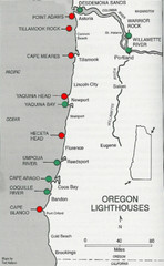
Lighthouses of the Oregon Coast Map
lighthouses (active, inactive, and destroyed) on the coast of Oregon (and the Columbia River)
416 miles away
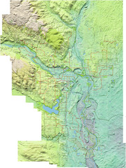
Calgary Topo Bike Map
This map shows the city of Calgary's bike routes. The topographic representation of the...
419 miles away
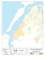
West Coos Bay Oregon Road Map
420 miles away
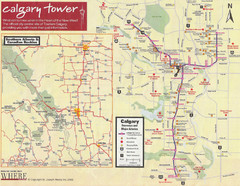
Calgary Tourist Map
Tourist map of Calgary, Canada. Shows points of interest. Scanned.
420 miles away
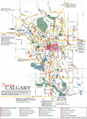
Calgary Map
420 miles away
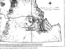
Map of Wolverine Sightings: 1886 -- 1998
420 miles away
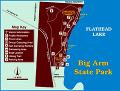
Big Arm State Park Map
Clear map and map key of Park camping grounds.
421 miles away
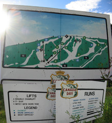
Silver Summit Ski Trail Map
Trail map from Silver Summit, which provides downhill and nordic skiing. This ski area has its own...
421 miles away
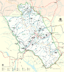
Glacier National Park Trail Map
Trails campgrounds and ranger stations.
422 miles away
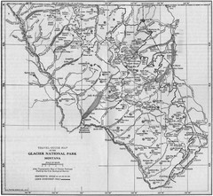
1915 Glacier National Park Map
Historical map of Glacier National Park in Montana.
423 miles away
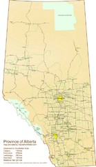
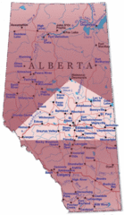
Alberta Tourist Map
Cities and areas in Alberta, Canada
423 miles away
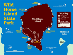
Wild Horse Island State Park Map
Boat access to this day-use-only, primitive park is regulated to protect the 2,000-acre island. The...
424 miles away
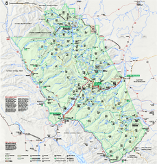
Glacier National Park official map
Glacier National Park official map.
425 miles away
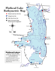
Bathymetric Map of Flathead Lake
Bathymetry refers to underwater depth
428 miles away
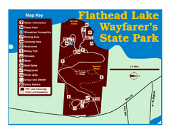
Wayfarers State Park Map
429 miles away
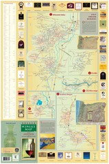
Oregon Winery Map / Local Side
430 miles away

Edmonton, Alberta Tourist Map
Edmonton, Alberta and the area west of it
430 miles away

Glacier National Park by carvedmaps.com Map
Wooden carved map of Glacier National Park by carvedmaps.com Anywhere in the United States maps...
431 miles away
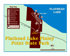
Finley Point State Park Map
This park is located in a secluded, mature pine forest near the south end of Flathead Lake. Enjoy...
432 miles away
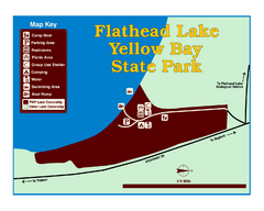
Yellow Bay State Park Map
Yellow Bay is in the heart of the famous Montana sweet cherry orchards, blossoms color the...
432 miles away
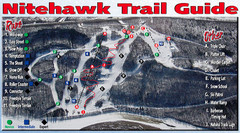
Nitehawk Ski Hill Ski Trail Map
Trail map from Nitehawk Ski Hill, which provides downhill skiing. This ski area has its own website.
433 miles away
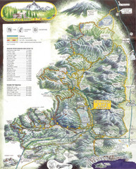
Diamond Lake Tourist Map
434 miles away
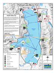
West Shore State Park Map
Glacially carved rock outcrops rise from Flathead Lake to overlooks with spectacular views of the...
435 miles away
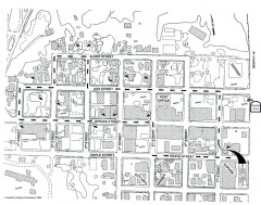
Myrtle Point walking tour Map
Walking tour map of the Historic homes of Myrtle Point in the Coquille Valley of Oregon.
440 miles away
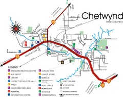
Chetwynd Town Map
441 miles away
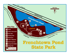
Frenchtown Pond State Park Map
Plan to bring everyone in the family to this day-use-only park for a whole afternoon of picnicking...
443 miles away
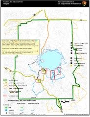
Crater Lake National Park Map
449 miles away
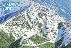
Brundage Mountain Resort Lakeview Bowl Ski Trail...
Trail map from Brundage Mountain Resort, which provides downhill and terrain park skiing. It has 5...
449 miles away

