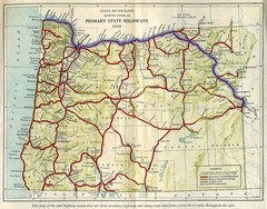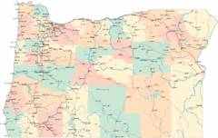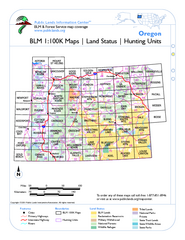
Oregon Hunting Unit/BLM Map Index
This map shows which BLM land ownership maps cover all hunting units in Oregon. Color indicates...
371 miles away
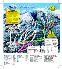
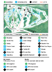
Nakiska Ski Resort Ski Trail Map
Trail map from Nakiska Ski Resort, which provides downhill skiing. This ski area has its own...
372 miles away
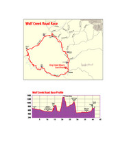
Wolf Creek Road Race Route and Route Elevation Map
Route map and elevation of Wolf Creek bike Race
373 miles away
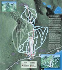
Willamette Pass Ski Trail Map
Trail map from Willamette Pass.
374 miles away
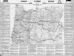
Oregon Military Map
Detailed guide to military forts, camps and roads on teh western Oregon coast
377 miles away
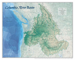
Columbia River Basin Map
377 miles away
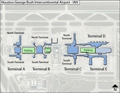
Houston, Airport Terminal Map
378 miles away
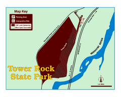
Tower Rock State Park Map
Tower Rock State Park is one of Montana's newest state parks. The 400-foot high igneous rock...
379 miles away
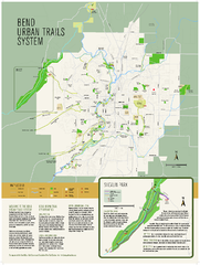
Bend urban trails system Map
The Bend Urban Trail System currently includes approximately 48 developed miles of trails which...
380 miles away
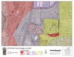
Bend, Oregon Zoning Map
Map of the zoning area changes in Bend, Oregon. Includes color-coded zoning areas.
380 miles away
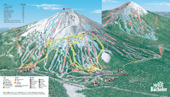
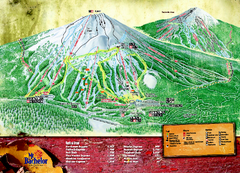
Mt. Bachelor Ski Trail map
Official ski trail map of Mount Bachelor ski area from the 2006-2007 season.
380 miles away
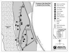
Thompson Falls State Park Map
This shaded, quiet campground is located on the Clark Fork River near the town of Thompson Falls in...
380 miles away
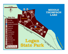
Logan State Park Map
With frontage on the north shore of Middle Thompson Lake, Logan is heavily forested with western...
382 miles away
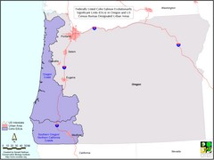
Oregon Coho Salmon Map
Shows federally listed coho salmon evolutionarily significant units in Washington state.
384 miles away
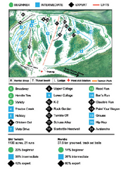
Anthony Lakes Mountain Resort Ski Trail Map
Trail map from Anthony Lakes Mountain Resort.
385 miles away
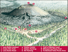
Newberry National Volcanic Monument - Lava Lands...
Map of Lava Butte which rises 500 feet above the visitor center. This cinder cone erupted 7,000...
389 miles away
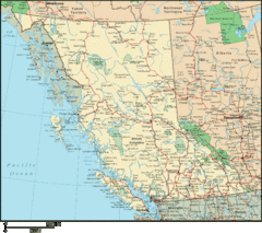
British Columbia Map
Detailed British Columbia Map
390 miles away
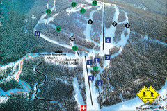
Pass Powderkeg Ski Trail Map
Trail map from Pass Powderkeg, which provides downhill skiing. This ski area has its own website.
393 miles away
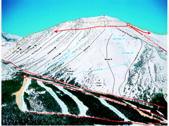
Castle Mountain Resort Ski Trail Map
Trail map from Castle Mountain Resort, which provides downhill skiing. This ski area has its own...
396 miles away
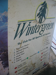
2001 Wintergreen Downhill Map Part 2
Trail map from Wintergreen.
397 miles away
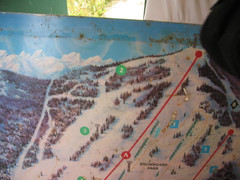
2001 Wintergreen Downhill Map Part 1
Trail map from Wintergreen.
397 miles away
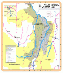
Hells Canyon National Recreation Area Map
Official Forest Service map of the Hells Canyon National Recreation Area. Shows roads, trails...
402 miles away
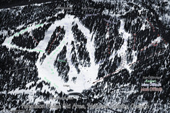
Ferguson Ridge Ski Trail Map
Trail map from Ferguson Ridge.
403 miles away
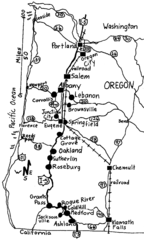
Oregon Walks Map
Walks in Portland, Oregon City, Corvallis, Salem, Lebanon, Albany, Eugene, Springfield, Junction...
403 miles away
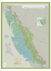
BC and Alaska Coastal Forest and Mountains Map
Relief map of coastal forest and mountains of southeast Alaska and British Columbia
404 miles away
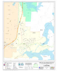
Lakeside Oregon Road Map
405 miles away
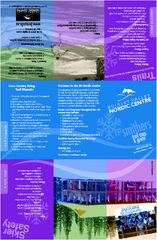
Bulkley Valley Ski Trail Map
Trail map from Bulkley Valley, which provides night and nordic skiing. This ski area has its own...
407 miles away
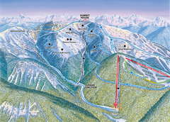
Whitefish Mountain Resort Hellroaring Ski Trail...
Trail map from Whitefish Mountain Resort.
407 miles away

Whitefish Mountain Resort Northside Ski Trail Map
Trail map from Whitefish Mountain Resort.
407 miles away
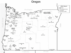
Oregon Airport Map
407 miles away
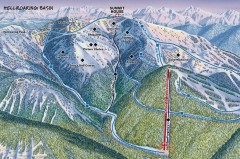
Whitefish Mountain Ski Trail Map - Hellroaring...
Official ski trail map of Whitefish Mountain ski area from the 2007-2008 season. (formerly named...
407 miles away
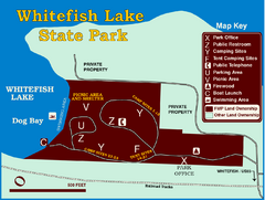
Whitefish Lake State Park Map
Although it’s right on the outskirts of Whitefish, this small park provides a mature forest...
407 miles away
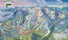
Whitefish Mountain Ski Trail Map - Front Side
Official ski trail map of Whitefish Mountain ski area from the 2007-2008 season. (formerly named...
407 miles away
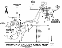
Diamond Valley Area Map
Map of Diamond Valley are, with Turner Valley & Black Diamond oil towns
407 miles away
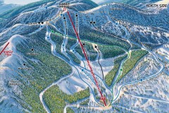
Whitefish Mountain Ski Trail Map - North Side
Official ski trail map of Whitefish Mountain ski area from the 2007-2008 season. (formerly named...
407 miles away

