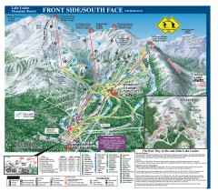
Lake Louise Ski Trail map - Front side/south face...
Official ski trail map of the front side/south face of Lake Louise ski area from the 2005-2006...
343 miles away
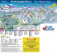
Lake Louise Ski Trail map - Ptarmigan/Paradise...
Official ski trail map of the Ptarmigan/Paradise/Back Bowls of Lake Louise ski area from the 2005...
343 miles away
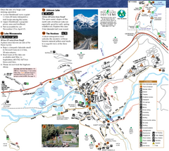
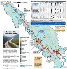
Banff National Park Map
Map of park with detail of trails and recreation zones
346 miles away
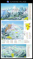
Sunshine Trail Map
Trail map of Sunshine Village
348 miles away
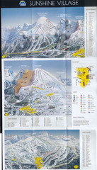
Banff’s Sunshine Village Ski Trail Map
Trail map from Banff’s Sunshine Village.
348 miles away
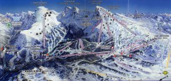
Sunshine Village Ski Trail Map
Official ski trail map of Sunshine Village ski area.
349 miles away
Silver Mountain Resort Ski Trail Map
Trail map from Silver Mountain Resort, which provides downhill, night, and terrain park skiing. It...
350 miles away
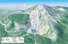
Hoodoo Mountain Ski Trail Map
Ski trail map of Hoodoo Mountain ski area.
351 miles away
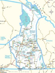
British Columbia, Canada Tourist Map
355 miles away
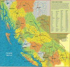
First Nations Peoples of British Columbia Map
"The boundaries between territories are deliberately shown as blending into one another, in...
356 miles away
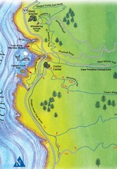
Cape Perpetua Map
356 miles away
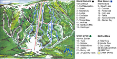
Murray Ridge Ski Trail Map
Trail map from Murray Ridge, which provides downhill and nordic skiing. This ski area has its own...
357 miles away
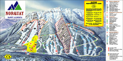
Banff Mount Norquay Ski Trail Map
Trail map from Banff Mount Norquay, which provides downhill skiing. This ski area has its own...
358 miles away
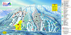
Norquay Map
Ski trail map
359 miles away
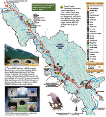
Banff National Park Map
359 miles away
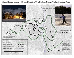
Island Lake Lodge Ski Trail Map
Trail map from Island Lake Lodge, which provides nordic skiing. This ski area has its own website.
361 miles away
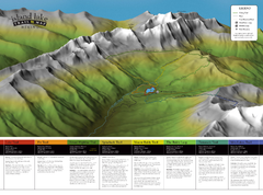
Island Lake Hiking Map
Hiking trail map of Island Lake area near Fernie, BC
361 miles away
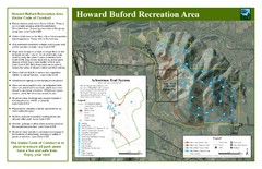
Howard Buford Recreational Area Trails Map
Map of the Howard Buford Recreational Area trails, roads, picnic areas, bathrooms, attractions.
361 miles away
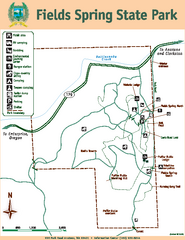
Fields Spring State Park Map
Map of park with detail of trails and recreation zones
362 miles away
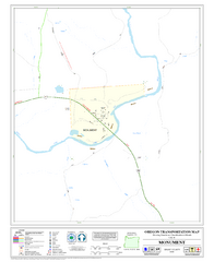
Monument Oregon Road Map
363 miles away
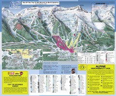
Fernie Ski Trail Map
Official ski trail map of Fernie ski area from the 2007-2008 season.
365 miles away
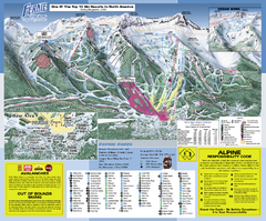
Fernie Alpine Resort Ski Trail Map
Trail map from Fernie Alpine Resort, which provides downhill and nordic skiing. This ski area has...
365 miles away
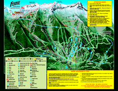
Fernie Alpine Resort 2007 Fernie Summer Map
Trail map from Fernie Alpine Resort, which provides downhill and nordic skiing. This ski area has...
365 miles away
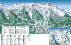
Fernie Alpine Trail Map
Ski trail map
365 miles away

Panorama Ski Area Trail Map
Guide to the Panorama Mountain Resort, outside Calgary, Canada
365 miles away
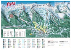
Fernie Mountain Trail Map
366 miles away
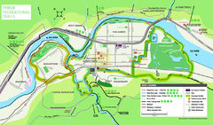
Fernie Town Trails Map
Trail map of recreational trails in and around town of Fernie, BC
366 miles away
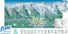
Fernie Mountain Trail Map
366 miles away
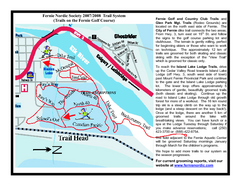
Fernie Golf Course Ski Trail Map
Trail map from Fernie Golf Course, which provides nordic skiing. This ski area has its own website.
367 miles away
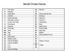
Fortress Bandit Chutes Run Names List Map
Trail map from Fortress, which provides downhill skiing.
368 miles away
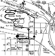
Eugene Oregon Walk, Skinner Butte and River Path...
Walk on the Willamette River Bike path, up Skinner Butte on a forest path and through a historic...
369 miles away
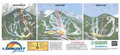
Lookout Pass Ski Trail Map
Official ski trail map of Lookout Pass ski area from the 2007-2008 season. Shows Montana, Idaho...
369 miles away
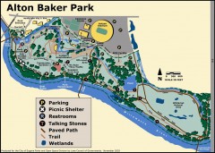
Alton Baker Park Map
Shows parking, picnic shelters, restrooms, talking stones, paved path, trail, and wetlands. Alton...
370 miles away
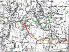
Oregon Trail Map
Old sketch map with modern cities, forts/ trading posts, and missions/churches superimposed. Shows...
370 miles away

Eugene Parks map
City of Eugene Parks Map. Includes streets and trails.
370 miles away
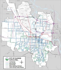
Eugene, Oregon City Map
370 miles away
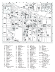
University of Oregon campus map
University of Oregon campus map with building abbreviations
370 miles away

