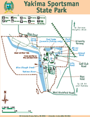
Yakima Sportsman State Park Map
Map of park with detail of trails and recreation zones
232 miles away
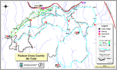
Paulson X-C (Castlegar Nordic) Ski Trail Map
Trail map from Paulson X-C (Castlegar Nordic), which provides nordic skiing. This ski area has its...
235 miles away
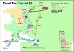
Pedal the Pinchot Bike Ride Route Map
Route Map for the Pedal the Pinchot 99 bike ride - annotated on a Park trail map.
235 miles away
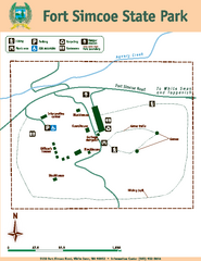
Fort Simcoe State Park Map
Map of park with detail of trails and recreation zones
238 miles away

Red Mountain Ski Trail Map
Trail map from Red Mountain.
244 miles away
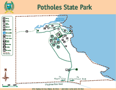
Potholes State Park Map
Map of park with detail of trails and recreation zones
244 miles away

Red Mountain Trail Map
Ski trail map
244 miles away

2006–08 Black Jack Nordic Map
Trail map from Black Jack.
244 miles away
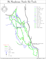
Mt Macpherson Nordic Ski Trail map
Nordic ski trail map of Mt Macpherson area near Revelstoke, BC. Shows trail names and distances in...
244 miles away
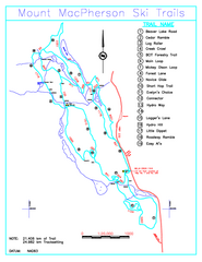
Revelstoke Nordic—Mount MacPherson Nordic Ski...
Trail map from Revelstoke Nordic—Mount MacPherson, which provides nordic skiing. This ski area...
245 miles away
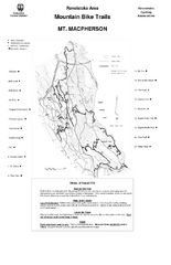
Mt. Macpherson Mountain Bike Trail Map
Mountain bike trail maps of Mt. Macpherson area and Mt. Mackenzie area right out of the town of...
246 miles away
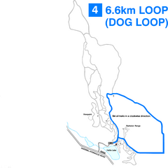
Hallis Lake Dog Loop Ski Trail Map
Trail map from Hallis Lake, which provides night and nordic skiing. This ski area has its own...
247 miles away

Hallis Lake Lighted Ski Trail Map
Trail map from Hallis Lake, which provides night and nordic skiing. This ski area has its own...
247 miles away

Revelstoke City Map
Overview map of Revelstoke, BC. Shows Points of Interest and activity icons
248 miles away
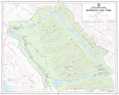
Bowron Lake Park Map
Topographical map of Bowron Lake Park
248 miles away
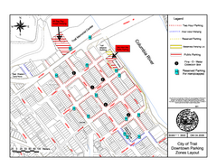
City of Trail Downtown Parking Map
Parking map of downtown Trail, British Columbia
249 miles away
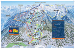
Revelstoke Ski Trail Map - Front side
Ski trail map of front side of Revelstoke ski area in Revelstoke, Canada from the 2008-2009 season.
249 miles away
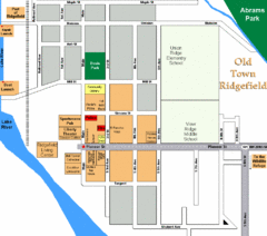
Guide Map of Old Town Ridgefield
Guide Map of Old Town Ridgefield, Washington
249 miles away

BANKS-VERNONIA STATE TRAIL Map
249 miles away

City of Trail BC Map
Map of city of Trail, BC on the Columbia River
249 miles away
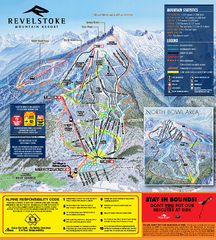
Revelstoke Ski Trail Map 2010-11
Ski trail map of Revelstoke Mountain Resort for the 2010-2011 season. Inset shows North Bowl area.
249 miles away
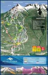
Revelstoke Ski Trail Map
Official ski trail map of Revelstoke ski area from the inaugural 2007-2008 season.
250 miles away
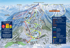
Revelstoke Ski Trail Map 2009-2010
Official ski trail map of Revelstoke Mountain Resort from the 2009-2010 season.
250 miles away
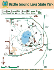
Battle Ground Lake State Park Map
Map of park with detail of trails and recreation zones
251 miles away
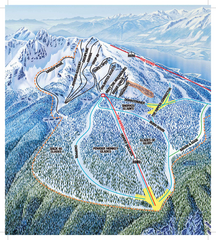
Revelstoke Ski Trail Map - North Bowl
Ski trail map of the North Bowl of Revelstoke ski area in Revelstoke, BC. From the 2008-2009...
251 miles away

Stanley, British Columbia Map
251 miles away
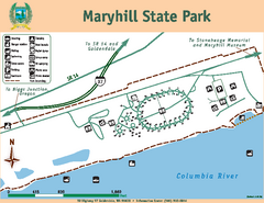
Maryhill State Park Map
Map of park with detail of trails and recreation zones
252 miles away
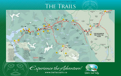
Bella Coola Valley Trail Map
Shows trails in region around Bella Coola, Hagensborg, and Firvale, British Columbia. Shows some...
253 miles away
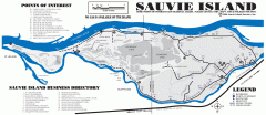
Sauvie Island tourist map
Tourist map of Sauvie Island in Oregon. Shows all businesses and points of interest.
254 miles away
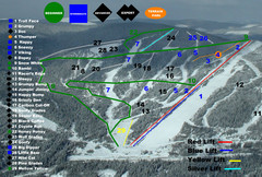
2004–07 Troll Downhill Map
Trail map from Troll. This ski area opened in 1972.
260 miles away
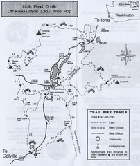
Little Pend Oreille Off Road Vehicle (ORV) Area...
Map of the Off Road Vehicle Area in Little Pend Oreille, Washington. Includes all bike trails...
263 miles away
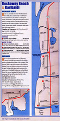
Rockaway Beach Map
264 miles away
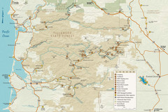
Tillamook State Forest Map
Recreation map of Tillamook State Forest. Over 60 miles of non-motorized trails and 150 miles of...
265 miles away
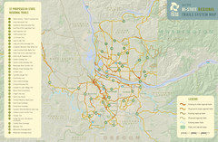
Bi-State Regional Trail System Plan Map
Shows plan for developing 37 Bi-State Regional Trails
265 miles away
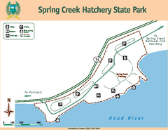
Spring Creek Hatchery State Park map
Map of park with detail of trails and recreation zones
265 miles away
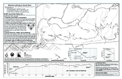
Forest Park Mountain Biking Map
Forest Park now includes over 5,100 wooded acres making it the largest, forested natural area...
266 miles away
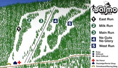
Salmo Ski Area Ski Trail Map
Trail map from Salmo Ski Area, which provides downhill skiing. This ski area has its own website.
267 miles away
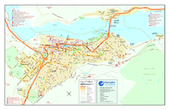
Nelson BC Town Map
267 miles away
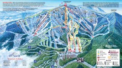
49 Degrees North Ski Trail Map
Official ski trail map of ski area from the 2007-2008 season.
267 miles away

Maywood Park Oregon Road Map
267 miles away

