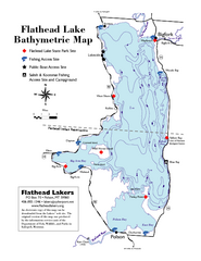
Bathymetric Map of Flathead Lake
Bathymetry refers to underwater depth
524 miles away
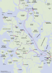
Prince of Wales Island Map
Shows area around Prince of Wales Island, Alaska, from Ketchikan to Wrangell.
525 miles away

Bear Creek Greenway Map
Trail map of the Bear Creek Greenway connecting Central Point to Ashland, Oregon. Will eventually...
526 miles away
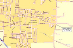
Medford, Oregon City Map
526 miles away

Glacier National Park by carvedmaps.com Map
Wooden carved map of Glacier National Park by carvedmaps.com Anywhere in the United States maps...
526 miles away
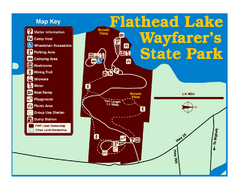
Wayfarers State Park Map
526 miles away
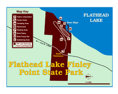
Finley Point State Park Map
This park is located in a secluded, mature pine forest near the south end of Flathead Lake. Enjoy...
529 miles away
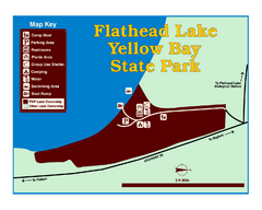
Yellow Bay State Park Map
Yellow Bay is in the heart of the famous Montana sweet cherry orchards, blossoms color the...
529 miles away
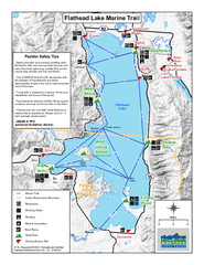
West Shore State Park Map
Glacially carved rock outcrops rise from Flathead Lake to overlooks with spectacular views of the...
532 miles away
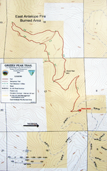
Grizzly Peak Trail Map
Topographic trail map of Grizzly Peak near Ashland, Oregon. Shows trails and distances. From...
533 miles away
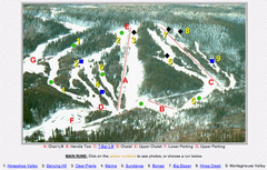
Whispering Pines Ski Trail Map
Trail map from Whispering Pines, which provides downhill and nordic skiing. This ski area has its...
534 miles away

Canyon Ski Area Ski Trail Map
Trail map from Canyon Ski Area, which provides downhill skiing. This ski area has its own website.
535 miles away
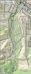
Lithia Park Trail Map
Trail map of Lithia Park in town of Ashland, Oregon. Adjacent to the Oregon Shakespeare Festival.
537 miles away
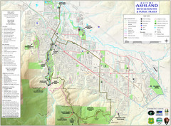
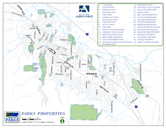
Ashland Trails Map
Trail map of Ashland, Oregon. Shows bicycle routes and public parks and trails.
537 miles away
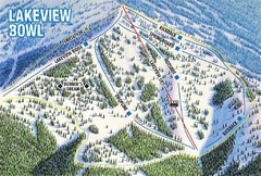
Brundage Mountain Resort Lakeview Bowl Ski Trail...
Trail map from Brundage Mountain Resort, which provides downhill and terrain park skiing. It has 5...
539 miles away
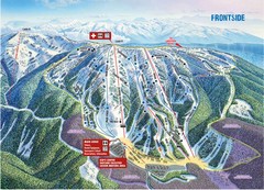
Brundage Mountain Resort Frontside Ski Trail Map
Trail map from Brundage Mountain Resort, which provides downhill and terrain park skiing. It has 5...
539 miles away
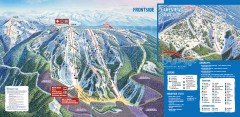
Brundage Ski Trail Map
Official ski trail map of Brundage ski area from the 2007-2008 season.
539 miles away
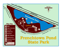
Frenchtown Pond State Park Map
Plan to bring everyone in the family to this day-use-only park for a whole afternoon of picnicking...
540 miles away
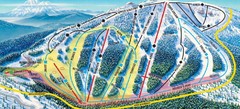
Mt. Ashland Ski Trail Map
Ski trail map of Mt. Ashland ski area near Ashland, Oregon
544 miles away
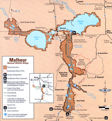
Malheur National Wildlife Refuge Map
Detailed Map of the Malheur Wildlife Refuge in Oregon showing places of interest, roads and...
544 miles away

BTS Route Map
Map of BTS bus routes throughout Klamath Falls
546 miles away
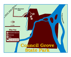
Council Grove State Park Map
Clearly marked map.
548 miles away
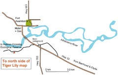
Fort Assiniboine Location Map
549 miles away
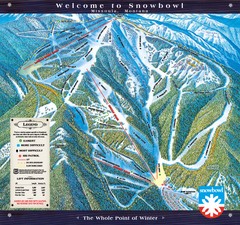
Montana Snowbowl Ski Trail Map
Trail map from Montana Snowbowl.
552 miles away
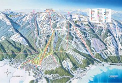
Tamarack Ski Trail Map
Official ski trail map of Tamarack ski area from the 2007-2008 season.
554 miles away
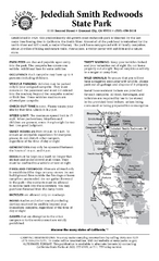
Jedediah Smith Redwoods State Park Campground Map
Map of campground region of park with detail of trails and recreation zones
554 miles away
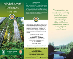
Jedediah Smith Redwoods State Park Map
Map of park with detail of trails and recreation zones
554 miles away
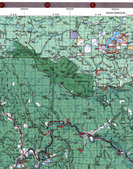
Klamath National Forest Map
Visitor Map of Klamath, western part of the park. Includes all roads, lakes, rivers and camping...
554 miles away
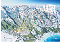
Tamarack Resort Ski Trail Map
Trail map from Tamarack Resort, which provides downhill, nordic, and terrain park skiing. It has 7...
555 miles away

Missoula, Montana City Map
556 miles away
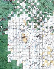
Clip07 Map
Visitor Maps of Klamath, central-western part of the park. Includes all roads, camp grounds...
556 miles away
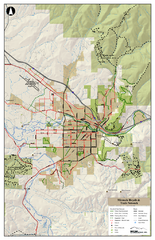
Missoula Bike Trails Map
Road and Mt. Bike trails with a bit of topology near Missoua
556 miles away

Missoula Trail System Map
Basic Map of Hike/Bike/Run Trail system for Missoula MT
556 miles away
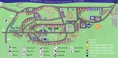
Devon Lions Park Campgrounds Map
557 miles away
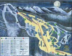
Marshall Mountain Ski Trail Map
Trail map from Marshall Mountain.
558 miles away
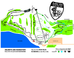
Rabbit Hill Ski and Snowboard Center Mountain...
Trail map from Rabbit Hill Ski and Snowboard Center, which provides downhill skiing. This ski area...
559 miles away
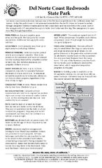
Del Norte Coast Redwoods State Park Campground Map
Map of park with detail of trails and recreation zones
561 miles away
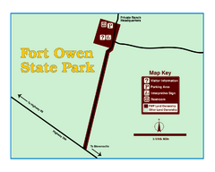
Fort Owen State Park Map
Fort Owen’s adobe and log remains preserves the site of the first permanent white settlement...
562 miles away

