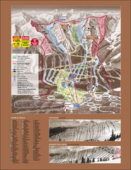
Kicking Horse Ski Trail Map 2007-08
Official ski trail map of Kicking Horse ski area from the 2007-2008 season.
378 miles away
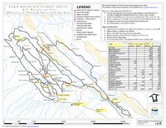
Dawn Mountain Nordic Ski Trail Map
Trail map from Dawn Mountain Nordic.
378 miles away
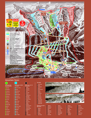
Kicking Horse Resort Ski Trail Map 2008-2009
Trail map from Kicking Horse Resort, which provides downhill and nordic skiing. This ski area has...
378 miles away
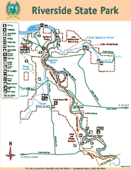
Riverside State Park Map
Map of park with detail of trails and recreation zones
378 miles away
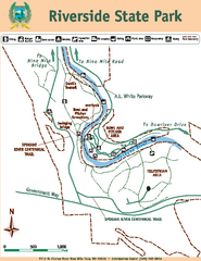
Riverside State Park Map
Map of park with detail of trails and recreation zones
379 miles away
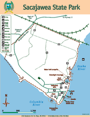
Sacajawea State Park Map
Map of park with detail of trails and recreation zones
379 miles away
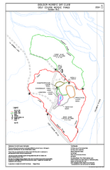
2004–06 Golden Golf Course Trail Map
Trail map from Golden Golf Course.
381 miles away
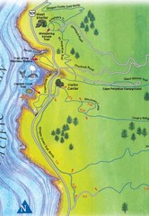
Cape Perpetua Map
382 miles away
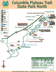
Columbia Plateau Trail State Park North Map
Map of park with detail of trails and recreation zones
382 miles away
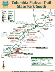
Columbia Plateau Trail State Park South Map
Map of park with detail of trails and recreation zones
382 miles away

Rotary Trail Map
382 miles away
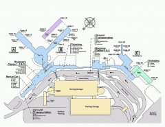
Spokane International Airport Terminal Map
Official Map of Spokane International Airport in Washington state. Shows all terminals.
383 miles away
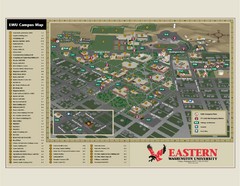
Eastern Washington University Campus Map
Campus map of Eastern Washington University in Cheney, Washington
385 miles away
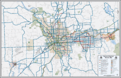
Spokane, Washington Bike Map
387 miles away
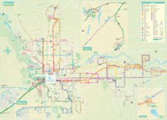
Spokane Guide Map
Roads and areas in and around Spokane, Washington
388 miles away
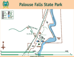
Palouse Falls State Park Map
Map of park with detail of trails and recreation zones
389 miles away
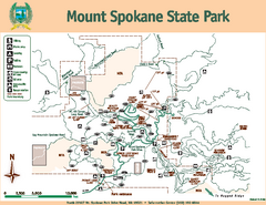
Mount Spokane State Park Map
Map of park with detail of trails and recreation zones
393 miles away
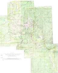
Mount Spokane Trail Map
Contour map of Mount Spokane
393 miles away
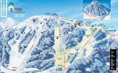
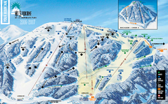
Mt. Spokane Ski Trail Map
Official ski trail map of Mount Spokane ski area from the 2006-2007 season.
393 miles away
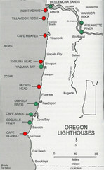
Lighthouses of the Oregon Coast Map
lighthouses (active, inactive, and destroyed) on the coast of Oregon (and the Columbia River)
398 miles away
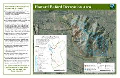
Howard Buford Recreational Area Trails Map
Map of the Howard Buford Recreational Area trails, roads, picnic areas, bathrooms, attractions.
399 miles away
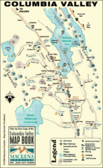
Columbia Valley Map
Easy to follow map and legend of this wilderness area.
402 miles away
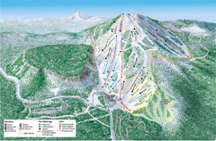
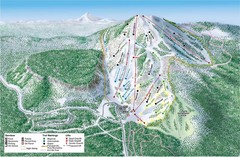
Hoodoo Mountain Ski Trail Map
Ski trail map of Hoodoo Mountain ski area.
403 miles away
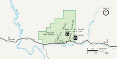
Clarno Unit John Day Fossils Beds National...
404 miles away
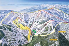
Schweitzer Ski Trail Map - Front
Official ski trail map of front side of Schweitzer ski area from the 2007-2008 season.
404 miles away
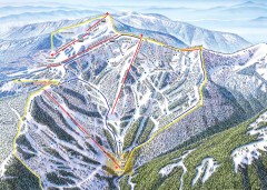
Schweitzer Ski Trail Map - Outback Bowl
Official ski trail map of back side of Schweitzer ski area from the 2007-2008 season.
405 miles away
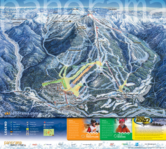
Panorama Mountain Village Ski Trail Map
Trail map from Panorama Mountain Village.
405 miles away
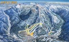
Panorama Ski Trail Map
Official ski trail map of Panorama ski area from the 2006-2007 season.
405 miles away

Panorama Trail Map
Ski trail map
405 miles away

Schweitzer Mountain Trail Map
Map of ski trails
406 miles away
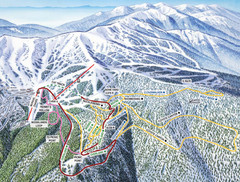
Schweitzer Mountain Trail Map
Ski trail map of Schweitzer Mountin
406 miles away
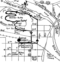
Eugene Oregon Walk, Skinner Butte and River Path...
Walk on the Willamette River Bike path, up Skinner Butte on a forest path and through a historic...
407 miles away

Eugene Parks map
City of Eugene Parks Map. Includes streets and trails.
407 miles away
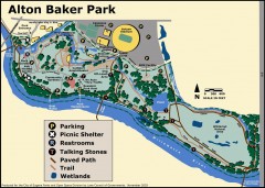
Alton Baker Park Map
Shows parking, picnic shelters, restrooms, talking stones, paved path, trail, and wetlands. Alton...
407 miles away
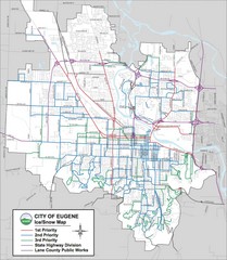
Eugene, Oregon City Map
407 miles away
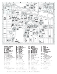
University of Oregon campus map
University of Oregon campus map with building abbreviations
408 miles away

Sandpoint City Map
Street map of downtown Sandpoint
409 miles away

