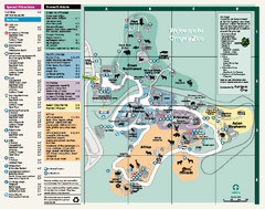
Oregon Zoo Map 2009
317 miles away
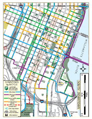
South Downtown Portland Bike Map
Biking map of southern downtown Portland, Oregon. Shows bike paths, bike parking, and bike shops.
317 miles away
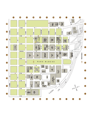
Portland State University Map
Campus Map of Portland State University. All buildings shown.
317 miles away
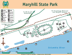
Maryhill State Park Map
Map of park with detail of trails and recreation zones
320 miles away

Tigard Oregon Road Map
321 miles away
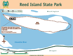
Reed Island State Park Map
Map of park with detail of trails and recreation zones
321 miles away
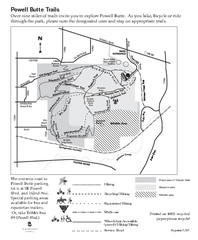
Powell Butte Nature Park Trail Map
Trail map of Powell Butte Nature Park. Shows over 9 miles of trails
322 miles away

King City Oregon Road Map
322 miles away
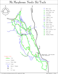
Mt Macpherson Nordic Ski Trail map
Nordic ski trail map of Mt Macpherson area near Revelstoke, BC. Shows trail names and distances in...
322 miles away
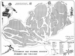
Purden Ski Village Ski Trail Map
Trail map from Purden Ski Village.
323 miles away

Lake Oswego Oregon Road Map
323 miles away
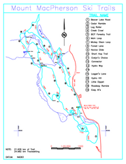
Revelstoke Nordic—Mount MacPherson Nordic Ski...
Trail map from Revelstoke Nordic—Mount MacPherson, which provides nordic skiing. This ski area...
323 miles away

Happy Valley Oregon Road Map
324 miles away
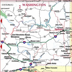
Eastern Washington Road Map
324 miles away
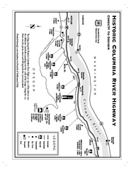
Historic Columbia River Highway Map
Official map from the US Forest Service. Shows the Corbett to Dodson stretch of Highway 30 with...
324 miles away
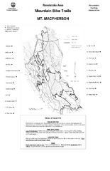
Mt. Macpherson Mountain Bike Trail Map
Mountain bike trail maps of Mt. Macpherson area and Mt. Mackenzie area right out of the town of...
324 miles away

Revelstoke City Map
Overview map of Revelstoke, BC. Shows Points of Interest and activity icons
325 miles away
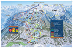
Revelstoke Ski Trail Map - Front side
Ski trail map of front side of Revelstoke ski area in Revelstoke, Canada from the 2008-2009 season.
327 miles away
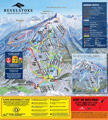
Revelstoke Ski Trail Map 2010-11
Ski trail map of Revelstoke Mountain Resort for the 2010-2011 season. Inset shows North Bowl area.
327 miles away
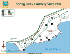
Spring Creek Hatchery State Park map
Map of park with detail of trails and recreation zones
328 miles away
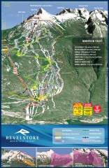
Revelstoke Ski Trail Map
Official ski trail map of Revelstoke ski area from the inaugural 2007-2008 season.
328 miles away
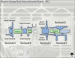
Houston, Airport Terminal Map
328 miles away
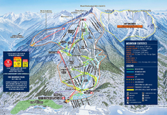
Revelstoke Ski Trail Map 2009-2010
Official ski trail map of Revelstoke Mountain Resort from the 2009-2010 season.
328 miles away
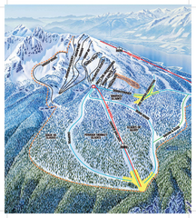
Revelstoke Ski Trail Map - North Bowl
Ski trail map of the North Bowl of Revelstoke ski area in Revelstoke, BC. From the 2008-2009...
329 miles away
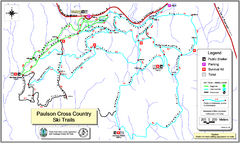
Paulson X-C (Castlegar Nordic) Ski Trail Map
Trail map from Paulson X-C (Castlegar Nordic), which provides nordic skiing. This ski area has its...
330 miles away
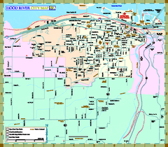
Hood River Map
Tourist map of city of Hood River, Oregon.
330 miles away
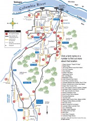
Hood River County Fruit Loop map
35-mile scenic drive through the valley's orchards, forests, farmlands, and friendly...
332 miles away
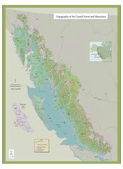
BC and Alaska Coastal Forest and Mountains Map
Relief map of coastal forest and mountains of southeast Alaska and British Columbia
333 miles away
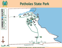
Potholes State Park Map
Map of park with detail of trails and recreation zones
333 miles away
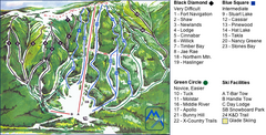
Murray Ridge Ski Trail Map
Trail map from Murray Ridge, which provides downhill and nordic skiing. This ski area has its own...
334 miles away
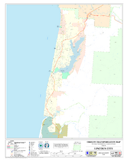
Lincoln City Oregon Road Map
336 miles away
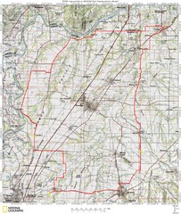
Spring Century Bike Route Map
Oregon Spring Century Ride
337 miles away

Red Mountain Ski Trail Map
Trail map from Red Mountain.
339 miles away

2006–08 Black Jack Nordic Map
Trail map from Black Jack.
339 miles away

Red Mountain Trail Map
Ski trail map
339 miles away
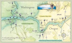
Columbia Gorge Wine Map
Wineries of the Columbia River Gorge area, Oregon.
341 miles away
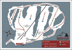
Cooper Spur Ski Area Ski Trail Map
Trail map from Cooper Spur Ski Area.
341 miles away
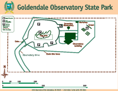
Goldendale State Park Map
Map of park with detail of trails and recreation zones
341 miles away
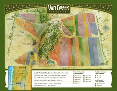
Van Duzer Vineyard Map
"A colorful vineyard map that shows the location of Van Duzer’s numerous grape varietals...
342 miles away


