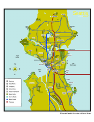
Neighborhoods of Seattle, Washington Map
Tourist map of Seattle, Washington, showing neighborhoods, parks, and scenic drives.
257 miles away
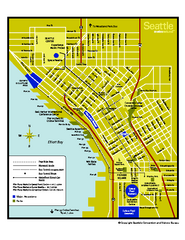
Downtown Seattle, Washington Map
Tourist map of downtown Seattle, Washington. Shows locations of Space Needle, Experience Music...
257 miles away
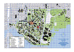
University of Washington - Seattle Campus Map
Campus Map of the University of Washington - Seattle Campus. All buildings shown.
257 miles away
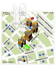
Municipal Court of Seattle Location Map
257 miles away
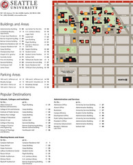
Seattle University Map
Campus Map
257 miles away
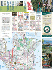
Greater Madison tourist map
Tourist map of Greater Madison, Washington. Shows all businesses.
257 miles away
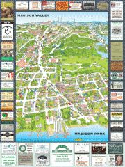
Madison Park tourist map
Tourist map of Madison Park, Washington. Shows all businesses.
257 miles away
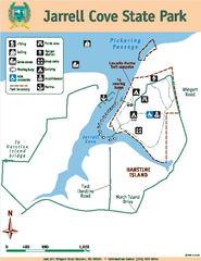
Jarrell Cove State Park Map
Map of park with detail of trails and recreation zones
257 miles away
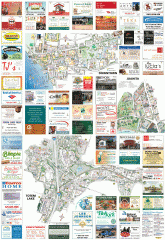
Kirkland tourist map
Kirkland, Washington tourist map. Shows all businesses.
257 miles away
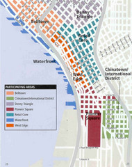
Seattle Neighborhoods Map
Map outlines several neighborhoods in Seattle, Wahsington
258 miles away

Stanley, British Columbia Map
258 miles away
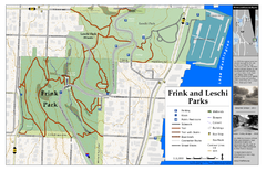
Frink Park and Leschi Park Map
259 miles away
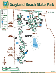
Grayland Beach State Park Map
Map of park with detail of trails and recreation zones
259 miles away

Greater Kirkland tourist map
Tourist map of Greater Kirkland, Washington. Shows all businesses.
260 miles away
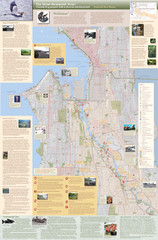
Duwamish River Community Map
This is a printed map, 32" X 40", created for the Duwamish River Cleanup Coalition in...
260 miles away
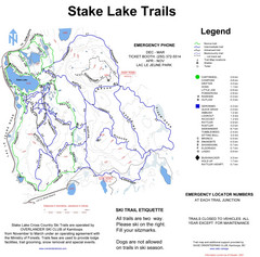
Stake Lake Nordic Ski Trail Map
Trail map from Stake Lake.
260 miles away
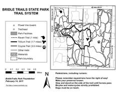
Bridle Trails State Park Map
260 miles away
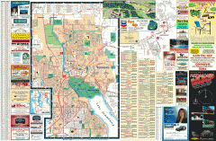
Redmond Area tourist map
Tourist map of the Redmond Area on Washington. Shows all businesses.
260 miles away
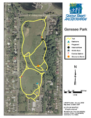
Genesee Park Trail Map
Trail map of Genesee Park in Mt Baker, Seattle, WA
261 miles away

Shadowrun Redmond Map
261 miles away
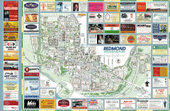
Redmond tourist map
Tourist map of Redmond, Washington. Shows all businesses.
261 miles away
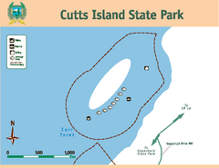
Cutts Island Stay Park Map
Map of park with detail of trails and recreation zones
261 miles away
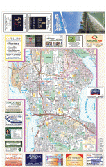
Bellevue tourist map
Tourist map of Bellevue, Washington. Shows all businesses.
262 miles away
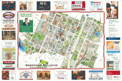
Tourist map of Downtown Bellevue
Tourist map of Downtown Bellevue, Washington. Shows all businesses.
262 miles away
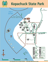
Kopachuck State Park Map
Map of island with detail of trails and recreation zones
262 miles away
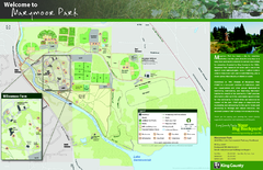
Marymoor Park Map
262 miles away
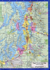
Seattle, Washington City Map
262 miles away
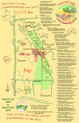
Sammamish Valley Guide Map
262 miles away
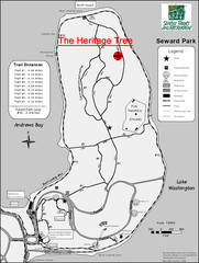
Seward Park Trails Map
Map of the trails in Seward Park, a 300-acre park on a peninsula in the south Seattle, WA area.
262 miles away
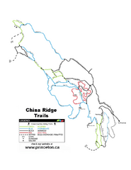
China Ridge XC Ski Trail Map
Trail map from China Ridge XC, which provides nordic skiing.
262 miles away
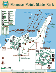
Penrose Point State Park Map
Map of park with detail of trails and recreation zones
263 miles away
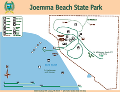
Joemma Beach State Park Map
Map of park with detail of trails and recreation zones
263 miles away
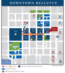
Downtown Bellevue Map
Driving Directions and Downtown Map
263 miles away
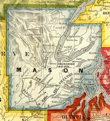
Mason County Washington, 1909 Map
264 miles away
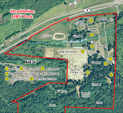
Grays Harbor County Straddleline ORV Park...
Park Map near Olympia
265 miles away
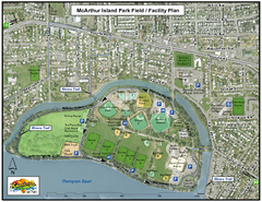
MacArthur Island Park Map
Park map of MacArthur Island Park in the Thompson River in Kamloops, BC. Shows Rivers Trail...
265 miles away
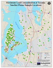
Tacoma Lead Concentration Map
A map of maximum lead concentrations near Tacoma.
266 miles away
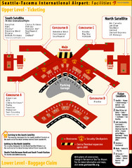
SeaTac Airport Map
266 miles away
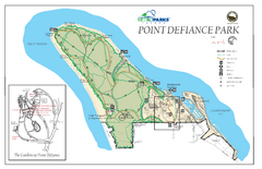
Point Defiance Park Map
266 miles away
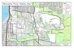
Newcastle Trails Trail Map
Trail map of existing and proposed trails in Newcastle, WA
266 miles away

