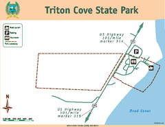
Triton Cove State Park Map
Map of park with detail of trails and recreation zones
237 miles away

Arlington tourist map
Tourist map of Arlington, Washington. Shows all businesses.
237 miles away
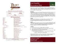
Stottlemeyer trails Map
237 miles away
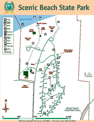
Scenic Beach State Park Map
Map of park with detail of trails and recreation zones
239 miles away
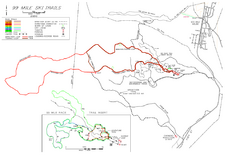
99 Mile Ski Ski Trail Map
Trail map from 99 Mile Ski Trails, which provides nordic skiing. This ski area has its own website.
240 miles away
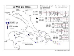
99 Mile Ski Race Routes Ski Trail Map
Trail map from 99 Mile Ski Trails, which provides nordic skiing. This ski area has its own website.
240 miles away
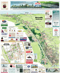
Marysville tourist map
Tourist map of Marysville, Washington. Shows all businesses.
241 miles away
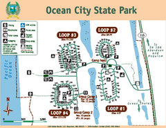
Ocean City State Park Map
Map of park with detail of trails and recreation zones
242 miles away

Mukilteo tourist map
Greater Mukilteo, Washington tourist map. Shows all businesses.
242 miles away
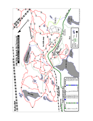
108 Mile House Ski Trail Map
Trail map from 108 Mile House.
243 miles away
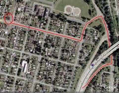
19th and Walnut in Everett, WA Map
244 miles away
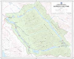
Bowron Lake Park Map
Topographical map of Bowron Lake Park
244 miles away

Mukilteo tourist map
Mukilteo, Washington tourist map. Shows all businesses.
244 miles away
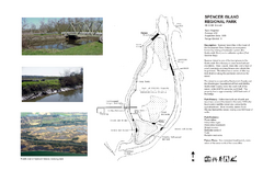
Spencer Island Park map
244 miles away
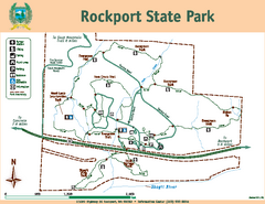
Rockport State Park Map
Map of park with detail of trails and recreation zones
245 miles away
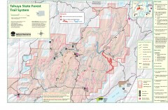
Tahuya State Forest Trail Map
Shows trails of Tahuya State Forest. Show roads, doubletrack, singletrack, and 4WD only.
245 miles away
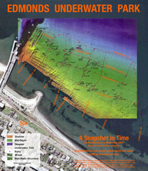
Edmonds Underwater Park Map
Map of underwater park for divers
245 miles away

Edmonds tourist map
Tourist map of Edmonds, Washington. Shows all businesses.
245 miles away

3-D Panoramic Map of the Puget Sound
A 3D panoramic map of a view from a private residence over Puget Sound toward the Olympic mountains.
246 miles away
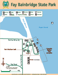
Fay Bainbridge State Park Map
Map of park with detail of trails and recreation zones
246 miles away

Downtown Edmonds tourist map
Tourist map of Downtown Edmonds, Washington. Shows all businesses.
246 miles away

Centennial Trail Map
Centennial Trail has 23 miles completed (Snohomish to Bryant) with more in progress.
247 miles away
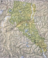
North Cascades National Park Physical Map
National Park
248 miles away

Centennial Trail Map
249 miles away
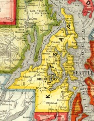
Kitsap County Washington, 1909 Map
249 miles away
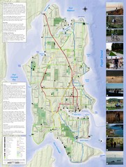
Bainbridge Island Hiking and Biking Map
Shows trails and bike routes on Bainbridge Island, Washington in the Puget Sound. Also shows...
249 miles away
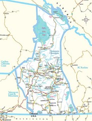
British Columbia, Canada Tourist Map
249 miles away
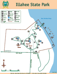
Illahee State Park Map
Map of park with detail of trails and recreation zones
249 miles away
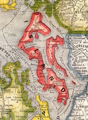
Island County Washington, 1909 Map
249 miles away
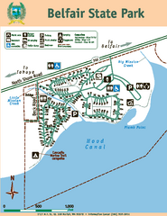
Belfair State Park Map
Map of park, with detail of trails and recreation zones
250 miles away
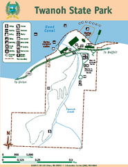
Twanoh State Park Map
Map of park with detail of trails and recreation zones
250 miles away
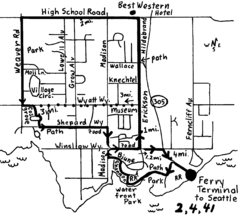
Bainbridge Walking Map
From Seattle Ferry Terminal, take the Bainbridge Ferry to Winslow. The walk is 4 miles with...
250 miles away

Snohomish tourst map
Tourist map of Snohomish, Washington. Shows all businesses.
250 miles away
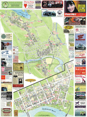
Snohomish tourist map
Snohomish, Washington tourist map. Shows all businesses.
250 miles away
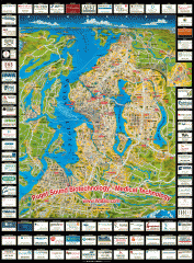
Puget Sound biotech map
Map of Puget Sound area biotechnology companies.
250 miles away
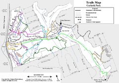
Carkeek Park Trail Map
Trail map of Carkeek Park on the Puget Sound, Seattle, WA. Shows maintained and unmaintained trails.
250 miles away
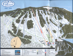
Mt Timothy Ski Trail Map
Trail map from Mt Timothy.
251 miles away

North Cascades National Park Oblique Map
Oblique map looking across Ross Damn, and Diablo Lake towards Seattle
251 miles away
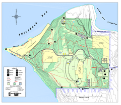
Discovery Park trail map
Trail and facility map of Discovery Park. Discovery Park is a 534 acre natural area park operated...
251 miles away
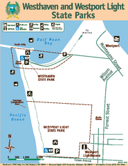
Westhaven/Westport Light State Parks Map
Map of park with detail of trails and recreation zones
251 miles away

