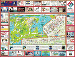
Anacortes tourist map
Tourist map of Anacortes, Washington. Shows recreation and points of interest.
207 miles away
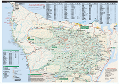
Olympic National Park wilderness campsite map
Official wilderness campsite map of Olympic National Park. Shows roads, trails, visitor...
208 miles away
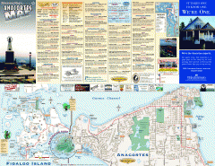
Fidalgo Island tourist map
Tourist map of Fidalgo Island in Anacortes, Washington. Shows recreation and points of interest.
209 miles away
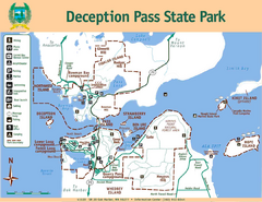
Deception Pass State Park Map
Map of park with detail of trails and recreation zones
209 miles away
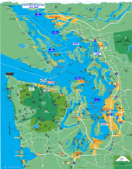
Seattle Ferry Guide Map
Map of ferries around Seattle, Puget Sound and Olympic Peninsula
210 miles away
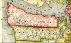
Clallam and Jefferson Counties Washington, 1909...
210 miles away
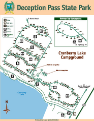
Deception Pass State Park Map
Map of park with detail of trails and recreation zones
210 miles away
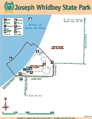
Joseph Whidbey State Park Map
Map of park with detail of trails and recreation zones
211 miles away
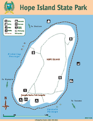
Hope Island State Park Map
Map of park with detail of trails and recreation zones
211 miles away
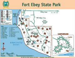
Fort Ebey State Park Map
Map of park with detail of trails and recreation zones
213 miles away
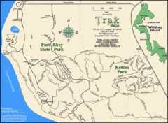
Ft Ebey/Kettle Park Trail Map
Trail map of Fort Ebey Park and Kettle Park, Washington
214 miles away

Oak Harbor tourist map
Tourist map of Oak Harbor, Washington. Shows all businesses.
214 miles away

Skagit County Washington, 1909 Map
215 miles away

Coupeville tourist map
Tourist map of Coupeville, Washington. Shows all businesses.
216 miles away
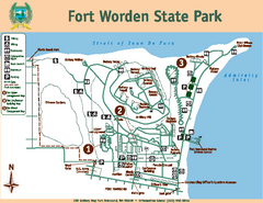
Fort Worden State Park Map
Map of park with detail of trails and recreation zones
217 miles away
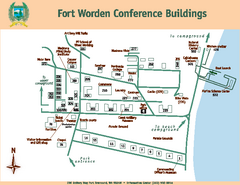
Fort Worden Conference Buildings Map
Map of conference buildings in Fort Worden State Park
217 miles away
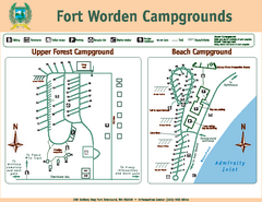
Fort Worden Campgrounds Map
Map of park campgrounds
217 miles away
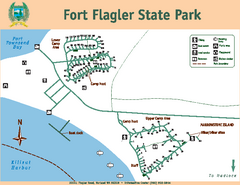
Fort Flagler State Park Map
Map of park with detail of trails and recreation zones
221 miles away
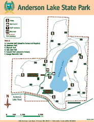
Anderson Lake State Park Map
Map of park and trails
221 miles away
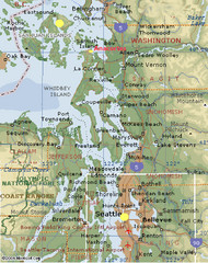
Washington State - West Coast Map
Washington State - West Coast Map
223 miles away
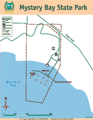
Mystery Bay State Park Map
Map of park with detail of trails and recreation zones
223 miles away
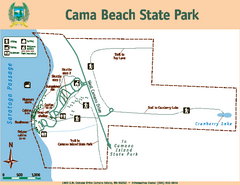
Cama Beach State Park Map
Map of park with detail of trails and recreation zones
223 miles away
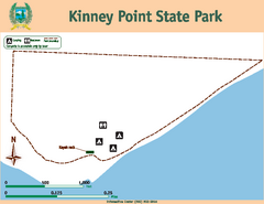
Kinney Point State Park Map
Map of island with detail of trails and recreation zones
223 miles away
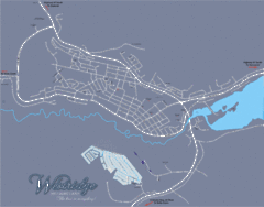
Williams Lake Town Map
225 miles away
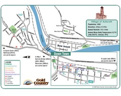
Ashcroft Map
Map of Ashcroft, includes all streets, highways, accommodations and attractions.
226 miles away
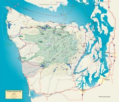
Olympic National Park and Peninsula Map
Guide to the Olympic National Park and surrounding region
227 miles away

Whidbey Island tourist map
Tourist map of Whidbey Island and Coupeville, Washington. Shows all businesses.
227 miles away
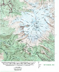
Mt. Baker Topo Map
Topo map of Mt. Baker, Washington, elevation 10,778ft.
227 miles away
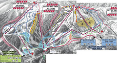
Mt. Baker Ski Area Ski Trail Map
Trail map from Mt. Baker Ski Area, which provides terrain park skiing. It has 10 lifts servicing 38...
230 miles away
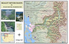
Skagit River Map
Skagit River Basin Overview Map (Pink shading is the FEMA 100 Year Flood)
230 miles away
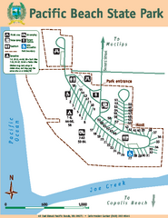
Pacific Beach State Park Map
Map of park with detail of trails and recreation zones
230 miles away
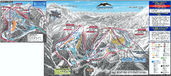
Mt. Baker Ski Trail Map
Official ski trail map of Mount Baker ski area from the 2007-2008 season.
231 miles away
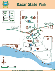
Rasar State Park Map
Map of park with detail of trails and recreation zones
232 miles away

South Whidbey tourist map
Tourist map of South Whidbey, Washington. Shows all businesses.
233 miles away
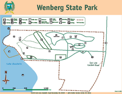
Wenberg State Park Map
Map of park with detail of trails and recreation zones
234 miles away

South Whidbey Island tourist map
Tourist map of South Whidbey Island, Washington. Shows all businesses.
234 miles away

Arlington and Smokey Point tourist map
Tourist map of Arlington and Smokey Point, Washington. Shows all businesses.
234 miles away
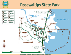
Dosewallips State Park Map
Map of park with detail of trails and recreation zones
235 miles away
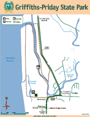
Griffiths-Priday State Park Map
Griffiths-Priday State Park
236 miles away
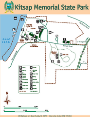
Kitsap Memorial State Park Map
Map of island with detail of trails and recreation zones
236 miles away

