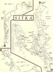
Sitka Tourist Map
598 miles away
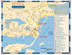
Downtown Sitka Map
Sitka Downtown Walking Tour map.
598 miles away
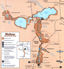
Malheur National Wildlife Refuge Map
Detailed Map of the Malheur Wildlife Refuge in Oregon showing places of interest, roads and...
599 miles away
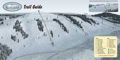
Sunridge Ski Area Ski Trail Map
Trail map from Sunridge Ski Area, which provides downhill skiing. This ski area has its own website.
599 miles away
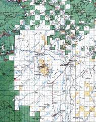
Clip07 Map
Visitor Maps of Klamath, central-western part of the park. Includes all roads, camp grounds...
600 miles away
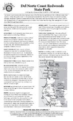
Del Norte Coast Redwoods State Park Campground Map
Map of park with detail of trails and recreation zones
600 miles away
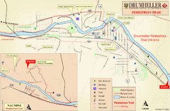
Drumheller Pedestrian Trail Map
601 miles away
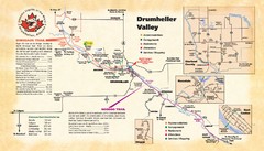
Drumheller Valley Tourist Map
Tourist map shows trails and points of interest of area around Drumheller, Alberta.
601 miles away
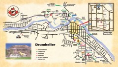
Drumheller Tourist Map
Tourist map of Drumheller, Alberta. Shows accommodations, campgrounds, restaurants, attractions...
601 miles away
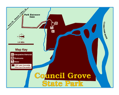
Council Grove State Park Map
Clearly marked map.
602 miles away
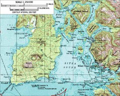
Mount Edgecumbe Topo Map
Topographic map of Mt. Edgecumbe and Sitka, Alaska. Mt. Edgecumbe is a 3000 foot inactive volcano...
606 miles away
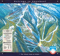
Montana Snowbowl Ski Trail Map
Trail map from Montana Snowbowl.
606 miles away

Missoula, Montana City Map
610 miles away
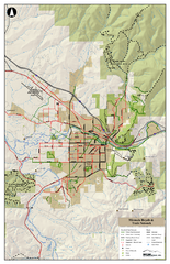
Missoula Bike Trails Map
Road and Mt. Bike trails with a bit of topology near Missoua
611 miles away

Missoula Trail System Map
Basic Map of Hike/Bike/Run Trail system for Missoula MT
611 miles away
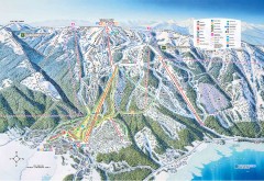
Tamarack Ski Trail Map
Official ski trail map of Tamarack ski area from the 2007-2008 season.
611 miles away
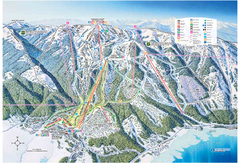
Tamarack Resort Ski Trail Map
Trail map from Tamarack Resort, which provides downhill, nordic, and terrain park skiing. It has 7...
612 miles away
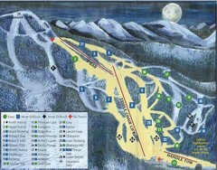
Marshall Mountain Ski Trail Map
Trail map from Marshall Mountain.
613 miles away
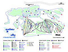
Tawatinaw Valley Ski Trail Map
Trail map from Tawatinaw Valley, which provides downhill and nordic skiing. This ski area has its...
613 miles away
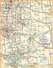
Southern Alberta Map
Shows highways, cities and towns, national/provincial parks and recreation areas, UNESCO World...
616 miles away
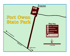
Fort Owen State Park Map
Fort Owen’s adobe and log remains preserves the site of the first permanent white settlement...
618 miles away
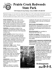
Prairie Creek Redwoods State Park Campground Map
Map of campground region of park with detail of trails and recreation zones
620 miles away
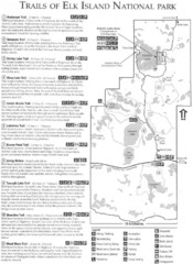
Elk Island National Park Trail Map
Map of hiking trails of Elk Island National Park, Alberta
621 miles away
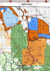
Modoc National Park Map
Visitor Map of Modoc National Park--Western Part. Includes the parameters of the Lava Beds...
622 miles away
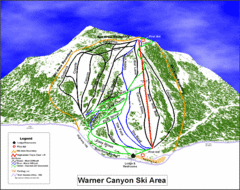
Warner Canyon Ski Trail Map
Trail map from Warner Canyon, which provides downhill skiing.
623 miles away
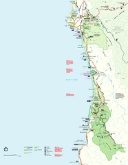
Redwood National Park Map
Official NPS map of Redwood National Park, California. Also shows Jedediah Smith Redwoods State...
624 miles away

Lakeview Oregon Road Map
625 miles away
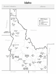
Idaho Airports Map
626 miles away
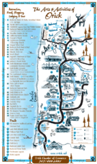
Orick Redwood National Park Map
628 miles away
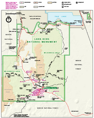
Lava Beds National Monument official park map
Official park map of Lava Beds National Monument. Shows trails, roads, cave entrances, and lava...
629 miles away
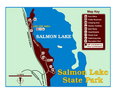
Salmon Lake State Park Map
Immediately adjacent to Montana 83, this park is an access point to one of the beautiful lakes in...
629 miles away
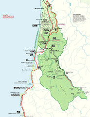
Prairie Crek State Park Map
630 miles away
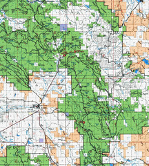
Clip10 Map
Visitor Maps of Modoc National Park, eastern part of the park includes all roads, camping areas...
632 miles away
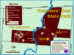
Travelers' Rest State Park Map
The Lewis and Clark expedition camped here twice during their historic journey to locate the...
634 miles away

Redwood National Park Map
635 miles away
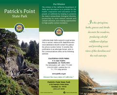
Patrick's Point State Park Map
Map of park with detail of trails and recreation zones
637 miles away
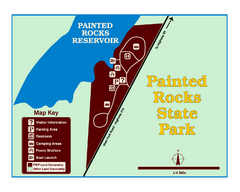
Painted Rocks State Park Map
Located in the scenic Bitterroot Mountains, this 23-acre park offers boating and water sport...
639 miles away

Steens Mountain Topo Map
Topography map of the east side of Steens mountain in Oregon.
639 miles away

