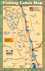
Radium Hot Springs Fishing Map
Beautiful map of the many fishing spots at this amazing site.
454 miles away
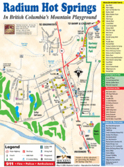
Radium Hot Springs Map
An easy to read map of this amazing hot springs area.
454 miles away
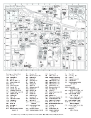
University of Oregon campus map
University of Oregon campus map with building abbreviations
454 miles away
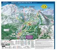
Lake Louise Ski Trail map - Front side/south face...
Official ski trail map of the front side/south face of Lake Louise ski area from the 2005-2006...
454 miles away
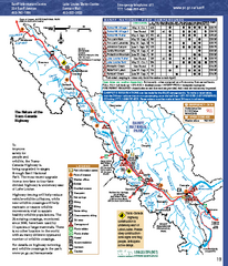
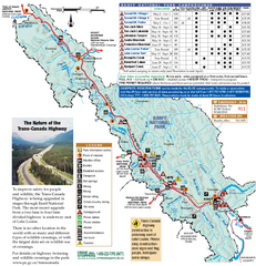
Banff National Park map
Official Parks Canada map of Banff National Park. Birthplace of Canada's national park system...
455 miles away
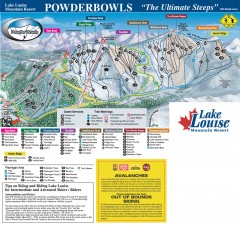
Lake Louise Ski Trail map - Ptarmigan/Paradise...
Official ski trail map of the Ptarmigan/Paradise/Back Bowls of Lake Louise ski area from the 2005...
455 miles away
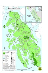
Prince of Wales Island Map
Overview map of Prince of Wales Island, Alaska. Shows wilderness areas.
455 miles away
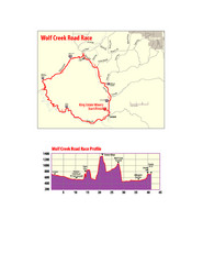
Wolf Creek Road Race Route and Route Elevation Map
Route map and elevation of Wolf Creek bike Race
456 miles away
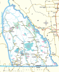
Kootenay Mountains Map
456 miles away
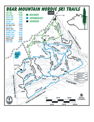
Bear Mountain Nordic Ski Trail Map
Trail map from Bear Mountain.
457 miles away
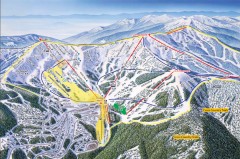
Schweitzer Ski Trail Map - Front
Official ski trail map of front side of Schweitzer ski area from the 2007-2008 season.
457 miles away
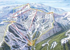
Schweitzer Ski Trail Map - Outback Bowl
Official ski trail map of back side of Schweitzer ski area from the 2007-2008 season.
457 miles away
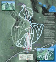
Willamette Pass Ski Trail Map
Trail map from Willamette Pass.
458 miles away

Schweitzer Mountain Trail Map
Map of ski trails
458 miles away
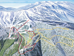
Schweitzer Mountain Trail Map
Ski trail map of Schweitzer Mountin
459 miles away
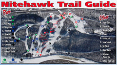
Nitehawk Ski Hill Ski Trail Map
Trail map from Nitehawk Ski Hill, which provides downhill skiing. This ski area has its own website.
459 miles away
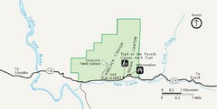
Clarno Unit John Day Fossils Beds National...
459 miles away
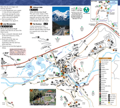
Banff National Park Map
Map of park with detail of trails and recreation zones
459 miles away
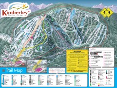
Kimberley Ski Trail Map
Official ski trail map of Kimberley ski area from the 2007-2008 season.
460 miles away
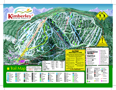
Kimberley Alpine Resort Ski Trail Map
Trail map from Kimberley Alpine Resort.
461 miles away

Sandpoint City Map
Street map of downtown Sandpoint
462 miles away
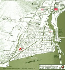
Map of Sandpoint, Idaho
Map of the entire town of Sandpoint including all streets, highways and other information.
462 miles away
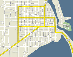
Sandpoint City Beach Map
Downtown Sandpoint Map.
462 miles away
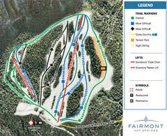
Fairmont Hot Springs Resort Ski Trail Map
Trail map from Fairmont Hot Springs Resort.
465 miles away
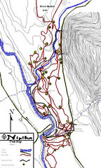
Nipika Ski Trail Map
Trail map from Nipika, which provides nordic skiing. This ski area has its own website.
466 miles away
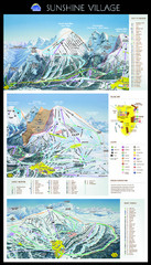
Sunshine Trail Map
Trail map of Sunshine Village
467 miles away
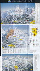
Banff’s Sunshine Village Ski Trail Map
Trail map from Banff’s Sunshine Village.
467 miles away
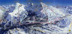
Sunshine Village Ski Trail Map
Official ski trail map of Sunshine Village ski area.
467 miles away
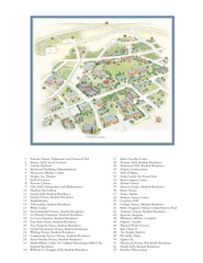
Whitman College Campus Map
Campus map of Whitman College in Walla Walla, WA
468 miles away
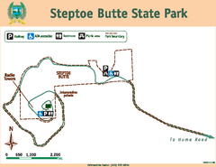
Steptoe Butt State Park Map
Map of park with detail of trails and recreation zones
469 miles away
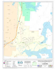
Lakeside Oregon Road Map
471 miles away
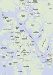
Prince of Wales Island Map
Shows area around Prince of Wales Island, Alaska, from Ketchikan to Wrangell.
472 miles away

Kootenay Rockies Map
The Kootenay Rockies Range in British Columbia, Canada
472 miles away
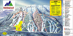
Banff Mount Norquay Ski Trail Map
Trail map from Banff Mount Norquay, which provides downhill skiing. This ski area has its own...
475 miles away
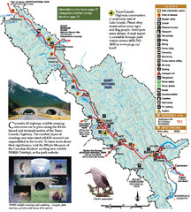
Banff National Park Map
476 miles away
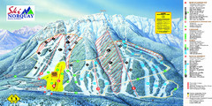
Norquay Map
Ski trail map
476 miles away
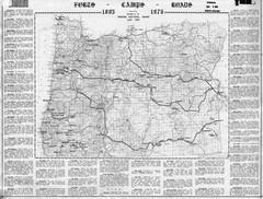
Oregon Military Map
Detailed guide to military forts, camps and roads on teh western Oregon coast
479 miles away
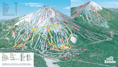
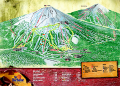
Mt. Bachelor Ski Trail map
Official ski trail map of Mount Bachelor ski area from the 2006-2007 season.
483 miles away

